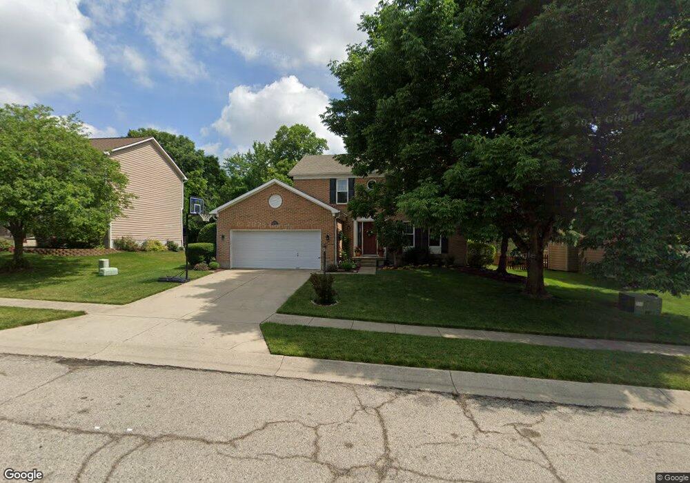
272 Tamarack Trail Springboro, OH 45066
Estimated Value: $353,278 - $416,000
4
Beds
3
Baths
2,150
Sq Ft
$178/Sq Ft
Est. Value
About This Home
This home is located at 272 Tamarack Trail, Springboro, OH 45066 and is currently estimated at $382,070, approximately $177 per square foot. 272 Tamarack Trail is a home located in Warren County with nearby schools including Clearcreek Elementary School, Springboro Intermediate School, and Dennis Elementary School.
Ownership History
Date
Name
Owned For
Owner Type
Purchase Details
Closed on
Jun 26, 2015
Sold by
Werba Mcshane Paul Joseph and Werba Mcshane Marcia
Bought by
Smith Jason W and Smith Melissa D
Current Estimated Value
Purchase Details
Closed on
Jul 30, 1990
Sold by
Ryland Group & Inc
Bought by
Mcshane and Paul Joseph
Purchase Details
Closed on
Jun 11, 1990
Sold by
Lemon Paul A and Lemon Jean
Bought by
Ryland Group & Inc.
Purchase Details
Closed on
Aug 31, 1989
Sold by
Lemon Paul A and Lemon Jean
Bought by
Lemon and Lemon Paul A
Create a Home Valuation Report for This Property
The Home Valuation Report is an in-depth analysis detailing your home's value as well as a comparison with similar homes in the area
Home Values in the Area
Average Home Value in this Area
Purchase History
We collect this data history from publicly available records. To have your information removed, we recommend requesting removal directly through your county’s website.
| Date | Buyer | Sale Price | Title Company |
|---|---|---|---|
| Smith Jason W | -- | Hallmark Title | |
| Mcshane | $128,700 | -- | |
| Ryland Group & Inc. | $28,500 | -- | |
| Lemon | -- | -- |
Source: Public Records
Tax History
| Year | Tax Paid | Tax Assessment Tax Assessment Total Assessment is a certain percentage of the fair market value that is determined by local assessors to be the total taxable value of land and additions on the property. | Land | Improvement |
|---|---|---|---|---|
| 2025 | $3,967 | $101,590 | $29,750 | $71,840 |
| 2024 | $3,967 | $101,590 | $29,750 | $71,840 |
| 2023 | $3,444 | $80,871 | $17,220 | $63,651 |
| 2022 | $3,393 | $80,871 | $17,220 | $63,651 |
| 2021 | $3,158 | $80,871 | $17,220 | $63,651 |
| 2020 | $2,937 | $65,748 | $14,000 | $51,748 |
| 2019 | $2,708 | $65,748 | $14,000 | $51,748 |
| 2018 | $2,709 | $65,748 | $14,000 | $51,748 |
| 2017 | $2,561 | $55,976 | $12,110 | $43,866 |
| 2016 | $2,671 | $55,976 | $12,110 | $43,866 |
| 2015 | $2,641 | $55,976 | $12,110 | $43,866 |
| 2014 | $2,641 | $52,310 | $11,320 | $41,000 |
| 2013 | $2,639 | $64,720 | $14,000 | $50,720 |
Source: Public Records
Map
Nearby Homes
- 140 Lemonwood Ct
- 508 King George Ct
- 420 Clearcreek Franklin Rd
- 178 Farmstead Blvd
- 186 Farmstead Blvd
- 15 Jacamar Ct
- 120 Deer Trail Dr
- 600 Royal Springs Dr
- 407 Brownstone Row
- 803 Brownstone Row
- 1004 Parklake Row
- 9853 Clearcreek Franklin Rd
- 40 Turnberry Ct
- 70 Eleanor Dr
- 9407 Marcella Dr
- 110 Parker Dr
- 11285 Crimson
- 40 Woods Rd
- 90 W Market St
- 10 Wadestone Ln
- 270 Tamarack Trail
- 345 Wellington Way
- 268 Tamarack Trail
- 276 Tamarack Trail
- 355 Wellington Way
- 273 Tamarack Trail
- 335 Wellington Way
- 271 Tamarack Trail
- 275 Tamarack Trail
- 278 Tamarack Trail
- 266 Tamarack Trail
- 365 Wellington Way
- 269 Tamarack Trail
- 277 Tamarack Trail
- 325 Wellington Way
- 267 Tamarack Trail
- 279 Tamarack Trail
- 264 Tamarack Trail
- 375 Wellington Way
- 210 Jeanne Dr
Your Personal Tour Guide
Ask me questions while you tour the home.