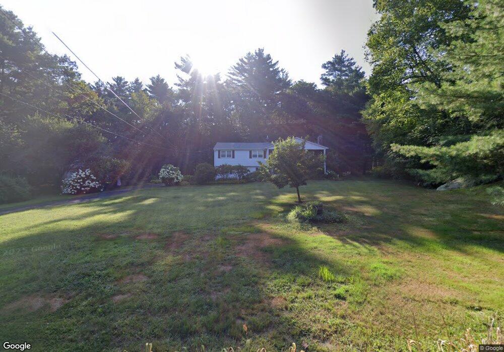
272 W Mountain Rd West Simsbury, CT 06092
Estimated Value: $474,000 - $517,000
4
Beds
3
Baths
1,512
Sq Ft
$326/Sq Ft
Est. Value
About This Home
This home is located at 272 W Mountain Rd, West Simsbury, CT 06092 and is currently estimated at $493,362, approximately $326 per square foot. 272 W Mountain Rd is a home located in Hartford County with nearby schools including Tootin' Hills School, Henry James Memorial School, and Simsbury High School.
Ownership History
Date
Name
Owned For
Owner Type
Purchase Details
Closed on
Jun 20, 2024
Sold by
Carbone Salvatore and Carbone Caterina
Bought by
Carbone Children T and Carbone
Current Estimated Value
Purchase Details
Closed on
Aug 17, 1992
Sold by
Bergamo Kari
Bought by
Carbone Salvatore and Carbone Caterina
Purchase Details
Closed on
Sep 17, 1990
Sold by
Boggs Brian
Bought by
Bergamo James
Create a Home Valuation Report for This Property
The Home Valuation Report is an in-depth analysis detailing your home's value as well as a comparison with similar homes in the area
Home Values in the Area
Average Home Value in this Area
Purchase History
| Date | Buyer | Sale Price | Title Company |
|---|---|---|---|
| Carbone Children T | -- | None Available | |
| Carbone Children T | -- | None Available | |
| Carbone Salvatore | $188,000 | -- | |
| Bergamo James | $208,000 | -- |
Source: Public Records
Mortgage History
| Date | Status | Borrower | Loan Amount |
|---|---|---|---|
| Previous Owner | Bergamo James | $25,000 | |
| Previous Owner | Bergamo James | $140,000 | |
| Previous Owner | Bergamo James | $160,000 | |
| Previous Owner | Bergamo James | $75,000 |
Source: Public Records
Tax History Compared to Growth
Tax History
| Year | Tax Paid | Tax Assessment Tax Assessment Total Assessment is a certain percentage of the fair market value that is determined by local assessors to be the total taxable value of land and additions on the property. | Land | Improvement |
|---|---|---|---|---|
| 2025 | $8,482 | $248,290 | $87,500 | $160,790 |
| 2024 | $8,271 | $248,290 | $87,500 | $160,790 |
| 2023 | $7,901 | $248,290 | $87,500 | $160,790 |
| 2022 | $7,388 | $191,260 | $79,380 | $111,880 |
| 2021 | $7,388 | $191,260 | $79,380 | $111,880 |
| 2020 | $7,094 | $191,260 | $79,380 | $111,880 |
| 2019 | $7,138 | $191,260 | $79,380 | $111,880 |
| 2018 | $7,189 | $191,260 | $79,380 | $111,880 |
| 2017 | $6,867 | $177,170 | $79,380 | $97,790 |
| 2016 | $6,577 | $177,170 | $79,380 | $97,790 |
| 2015 | $6,577 | $177,170 | $79,380 | $97,790 |
| 2014 | $6,580 | $177,170 | $79,380 | $97,790 |
Source: Public Records
Map
Nearby Homes
- 24 Drumlin Rd
- 395 Bushy Hill Rd
- 19 Glenbrook Dr
- 121 Gracey Rd
- 370A W Mountain Rd
- 6 Highwood Rd
- 41 Applegate Ln
- 3 Applegate Ln Unit 3
- 31 Applegate Ln Unit 31
- 49 Applegate Ln Unit 49
- 301 Bushy Hill Rd
- 302 Bushy Hill Rd
- 10 Sachems Trail
- 15 Red Fox Run
- 14 Nod Brook Dr
- 23 Red Fox Run
- 8 Crane Place
- 1 Alcima Dr
- 70 Trailsend Dr
- 41 Secret Lake Rd
- 270 W Mountain Rd
- 14 Roswell Rd
- 28 Arrowhead Dr
- 32 Arrowhead Dr
- 269 W Mountain Rd
- 275 W Mountain Rd
- 12 Roswell Rd
- 26 Arrowhead Dr
- 30 Arrowhead Dr
- 279 W Mountain Rd
- 279 W Mountain Rd
- 261 W Mountain Rd
- 10 Roswell Rd
- 24 Arrowhead Dr
- 258 W Mountain Rd
- 31 Arrowhead Dr
- 281 W Mountain Rd
- 15 Roswell Rd
- 23 Arrowhead Dr
- 15 Roswell Rd