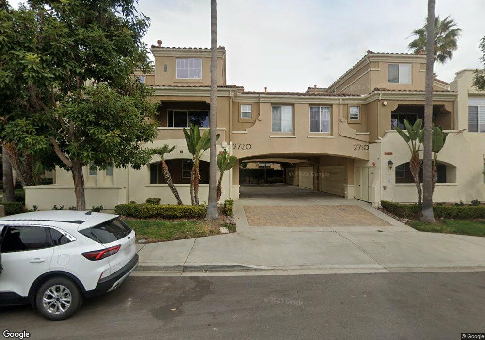
2720 E Evans Rd Unit 4 San Diego, CA 92106
Liberty Station NeighborhoodEstimated Value: $1,115,264 - $1,340,000
3
Beds
3
Baths
1,350
Sq Ft
$879/Sq Ft
Est. Value
About This Home
This home is located at 2720 E Evans Rd Unit 4, San Diego, CA 92106 and is currently estimated at $1,186,316, approximately $878 per square foot. 2720 E Evans Rd Unit 4 is a home located in San Diego County with nearby schools including Loma Portal Elementary School, Richard Henry Dana Middle School, and Correia Middle School.
Ownership History
Date
Name
Owned For
Owner Type
Purchase Details
Closed on
Jul 16, 2003
Sold by
Mcmillin Ntc 138 Llc
Bought by
Anderson John W and Anderson Jacqueline C
Current Estimated Value
Home Financials for this Owner
Home Financials are based on the most recent Mortgage that was taken out on this home.
Original Mortgage
$309,750
Interest Rate
5.99%
Mortgage Type
Purchase Money Mortgage
Create a Home Valuation Report for This Property
The Home Valuation Report is an in-depth analysis detailing your home's value as well as a comparison with similar homes in the area
Home Values in the Area
Average Home Value in this Area
Purchase History
| Date | Buyer | Sale Price | Title Company |
|---|---|---|---|
| Anderson John W | $387,500 | First American Title |
Source: Public Records
Mortgage History
| Date | Status | Borrower | Loan Amount |
|---|---|---|---|
| Previous Owner | Anderson John W | $309,750 | |
| Closed | Anderson John W | $77,400 |
Source: Public Records
Tax History
| Year | Tax Paid | Tax Assessment Tax Assessment Total Assessment is a certain percentage of the fair market value that is determined by local assessors to be the total taxable value of land and additions on the property. | Land | Improvement |
|---|---|---|---|---|
| 2025 | $7,881 | $550,524 | $251,649 | $298,875 |
| 2024 | $7,881 | $539,730 | $246,715 | $293,015 |
| 2023 | $7,745 | $529,148 | $241,878 | $287,270 |
| 2022 | $7,601 | $518,774 | $237,136 | $281,638 |
| 2021 | $7,523 | $508,603 | $232,487 | $276,116 |
| 2020 | $7,455 | $503,389 | $230,104 | $273,285 |
| 2019 | $7,339 | $493,520 | $225,593 | $267,927 |
| 2018 | $6,961 | $483,844 | $221,170 | $262,674 |
| 2017 | $83 | $474,358 | $216,834 | $257,524 |
| 2016 | $6,862 | $465,058 | $212,583 | $252,475 |
| 2015 | $6,777 | $458,073 | $209,390 | $248,683 |
| 2014 | $6,650 | $449,101 | $205,289 | $243,812 |
Source: Public Records
Map
Nearby Homes
- 2124 Historic Decatur Rd
- 2760 Farragut Rd Unit 109
- 2842 Farragut Rd Unit 130
- 2838 Farragut Rd Unit 126
- 3021 Sterne St
- 3014 Xenophon St
- 3126 Russell St
- 3038 Udall St
- 3006 Yonge St
- 2035 Evergreen St
- 2255 Evergreen St
- 3046 Nimitz Blvd
- 2909 Keats St Unit 11
- 3030 Jarvis St Unit 2
- 3350 Oliphant St
- 3428 Quimby St
- 3503 Quimby St
- 2318 Plum St
- 3542 Poe St
- 3111 Ingelow St Unit C
- 2720 E Evans Rd Unit 6
- 2720 E Evans Rd Unit 5
- 2710 E Evans Rd Unit 3
- 2710 E Evans Rd Unit 2
- 2710 E Evans Rd Unit 1
- 2740 E Evans Rd Unit 12
- 2740 E Evans Rd Unit 11
- 2740 E Evans Rd Unit 10
- 2730 E Evans Rd Unit 8
- 2730 E Evans Rd Unit 7
- 2711 E Evans Rd
- 2725 E Evans Rd
- 2703 E Evans Rd Unit 2
- 2731 E Evans Rd
- 2739 E Evans Rd
- 2745 E Evans Rd
- 2753 E Evans Rd Unit 2
- 2759 E Evans Rd
- 2765 E Evans Rd
- 2718 E Bainbridge Rd Unit 2
Your Personal Tour Guide
Ask me questions while you tour the home.