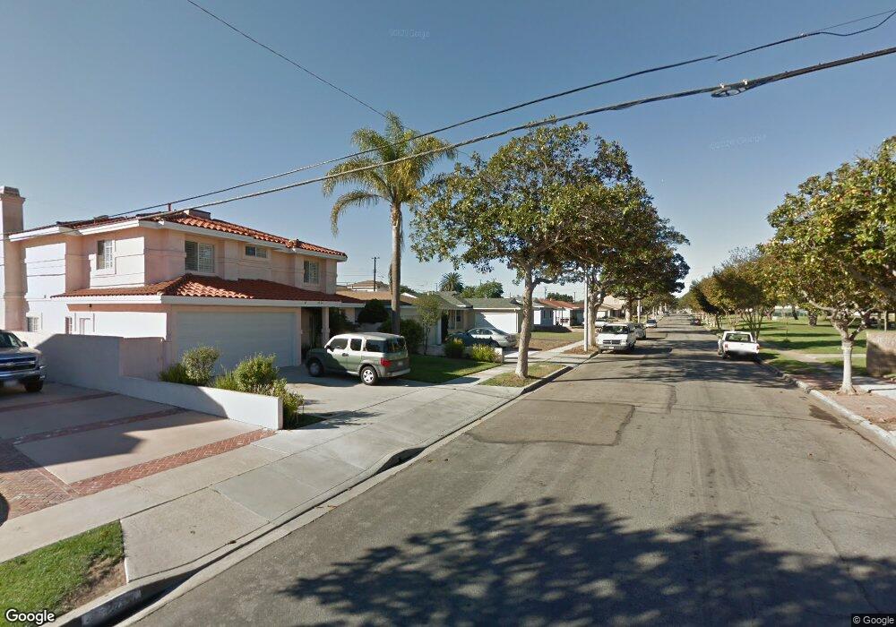
2720 Fisk Ln Redondo Beach, CA 90278
North Redondo Beach NeighborhoodEstimated Value: $1,138,682 - $1,385,000
3
Beds
1
Bath
1,034
Sq Ft
$1,240/Sq Ft
Est. Value
About This Home
This home is located at 2720 Fisk Ln, Redondo Beach, CA 90278 and is currently estimated at $1,281,671, approximately $1,239 per square foot. 2720 Fisk Ln is a home located in Los Angeles County with nearby schools including Washington Elementary School, Adams Middle School, and Redondo Union High School.
Ownership History
Date
Name
Owned For
Owner Type
Purchase Details
Closed on
Nov 19, 1998
Sold by
Waters Randall K
Bought by
Waters Pamela Jeanne
Current Estimated Value
Home Financials for this Owner
Home Financials are based on the most recent Mortgage that was taken out on this home.
Original Mortgage
$120,000
Interest Rate
6.84%
Create a Home Valuation Report for This Property
The Home Valuation Report is an in-depth analysis detailing your home's value as well as a comparison with similar homes in the area
Home Values in the Area
Average Home Value in this Area
Purchase History
| Date | Buyer | Sale Price | Title Company |
|---|---|---|---|
| Waters Pamela Jeanne | -- | Landsafe Title |
Source: Public Records
Mortgage History
| Date | Status | Borrower | Loan Amount |
|---|---|---|---|
| Closed | Waters Pamela Jeanne | $120,000 |
Source: Public Records
Tax History Compared to Growth
Tax History
| Year | Tax Paid | Tax Assessment Tax Assessment Total Assessment is a certain percentage of the fair market value that is determined by local assessors to be the total taxable value of land and additions on the property. | Land | Improvement |
|---|---|---|---|---|
| 2025 | $3,074 | $199,803 | $129,885 | $69,918 |
| 2024 | $3,074 | $195,887 | $127,339 | $68,548 |
| 2023 | $3,028 | $192,047 | $124,843 | $67,204 |
| 2022 | $2,948 | $188,283 | $122,396 | $65,887 |
| 2021 | $2,859 | $184,593 | $119,997 | $64,596 |
| 2019 | $2,764 | $179,120 | $116,439 | $62,681 |
| 2018 | $2,628 | $175,608 | $114,156 | $61,452 |
| 2016 | $2,535 | $168,791 | $109,724 | $59,067 |
| 2015 | $2,494 | $166,256 | $108,076 | $58,180 |
| 2014 | $2,463 | $163,000 | $105,959 | $57,041 |
Source: Public Records
Map
Nearby Homes
- 2617 Alvord Ln
- 2600 Alvord Ln
- 2905 Spreckels Ct
- 4549 186th St
- 2708 184th St
- 2708 183rd St
- 18801 Hawthorne Blvd Unit 19
- 18801 Hawthorne Blvd Unit 59
- 18406 Kingsdale Ave
- 1300 Firmona Ave
- 907 Lilienthal Ln
- 18413 Burin Ave
- 18204 Kingsdale Ave
- 2617 182nd St
- 2420 Ives Ln Unit B
- 2420 Ives Ln Unit A
- 19219 Beckworth Ave
- 2345 W 190th St Unit 77
- 2345 190th St Unit 42
- 2345 190th St Unit 24
- 2722 Fisk Ln
- 2718 Fisk Ln
- 2721 Spreckels Ln
- 2724 Fisk Ln
- 2716 Fisk Ln
- 2723 Spreckels Ln
- 2719 Spreckels Ln
- 2725 Spreckels Ln
- 2717 Spreckels Ln
- 2726 Fisk Ln
- 2714 Fisk Ln
- 2723 Fisk Ln
- 2727 Spreckels Ln
- 2715 Spreckels Ln
- 2728 Fisk Ln
- 2712 Fisk Ln
- 2725 Fisk Ln
- 2729 Spreckels Ln
- 2713 Spreckels Ln
- 2727 Fisk Ln