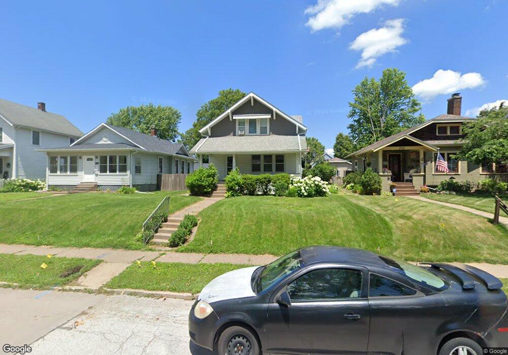
2720 Middle Rd Davenport, IA 52803
East End NeighborhoodEstimated Value: $218,000 - $280,000
3
Beds
1
Bath
1,400
Sq Ft
$170/Sq Ft
Est. Value
About This Home
This home is located at 2720 Middle Rd, Davenport, IA 52803 and is currently estimated at $238,642, approximately $170 per square foot. 2720 Middle Rd is a home located in Scott County with nearby schools including McKinley Elementary School, Sudlow Intermediate School, and Central High School.
Ownership History
Date
Name
Owned For
Owner Type
Purchase Details
Closed on
Apr 16, 2007
Sold by
Thede Acacia
Bought by
Sandy Matthew R and Sandy Heather A
Current Estimated Value
Home Financials for this Owner
Home Financials are based on the most recent Mortgage that was taken out on this home.
Original Mortgage
$124,000
Outstanding Balance
$75,180
Interest Rate
6.2%
Mortgage Type
New Conventional
Estimated Equity
$163,462
Purchase Details
Closed on
Mar 21, 2006
Sold by
Kuhl John A and Kuhl Kathleen A
Bought by
Thede Acacia
Home Financials for this Owner
Home Financials are based on the most recent Mortgage that was taken out on this home.
Original Mortgage
$294,000
Interest Rate
6.37%
Mortgage Type
New Conventional
Create a Home Valuation Report for This Property
The Home Valuation Report is an in-depth analysis detailing your home's value as well as a comparison with similar homes in the area
Home Values in the Area
Average Home Value in this Area
Purchase History
| Date | Buyer | Sale Price | Title Company |
|---|---|---|---|
| Sandy Matthew R | $155,000 | None Available | |
| Thede Acacia | $147,000 | None Available |
Source: Public Records
Mortgage History
| Date | Status | Borrower | Loan Amount |
|---|---|---|---|
| Open | Sandy Matthew R | $124,000 | |
| Previous Owner | Thede Acacia | $294,000 |
Source: Public Records
Tax History Compared to Growth
Tax History
| Year | Tax Paid | Tax Assessment Tax Assessment Total Assessment is a certain percentage of the fair market value that is determined by local assessors to be the total taxable value of land and additions on the property. | Land | Improvement |
|---|---|---|---|---|
| 2025 | $3,102 | $211,000 | $29,540 | $181,460 |
| 2024 | $3,022 | $183,780 | $29,540 | $154,240 |
| 2023 | $3,386 | $183,780 | $29,540 | $154,240 |
| 2022 | $3,386 | $167,360 | $28,410 | $138,950 |
| 2021 | $3,340 | $164,650 | $28,410 | $136,240 |
| 2020 | $3,532 | $162,600 | $28,410 | $134,190 |
| 2019 | $3,442 | $153,380 | $28,410 | $124,970 |
| 2018 | $3,256 | $153,380 | $28,410 | $124,970 |
| 2017 | $825 | $148,260 | $28,410 | $119,850 |
| 2016 | $3,090 | $141,090 | $0 | $0 |
| 2015 | $3,090 | $145,040 | $0 | $0 |
| 2014 | $3,222 | $145,040 | $0 | $0 |
| 2013 | $3,166 | $0 | $0 | $0 |
| 2012 | -- | $139,410 | $30,500 | $108,910 |
Source: Public Records
Map
Nearby Homes
- 1717 Kenwood Ave
- 1806 Forest Rd
- 49 Kenwood Ave
- 2905 Middle Rd
- 2950 E 18th St
- 2704 E High St
- 123 Fernwood Ave
- 1704 Jersey Ridge Rd
- 46 Hillcrest Ave
- 1803 Belle Ave
- 1815 Belle Ave
- 1708 Eastmere Dr
- 1619 Christie St
- 1709 Christie St
- 102 Forest Rd
- 2222 E 13th St
- 1504 Christie St
- 2458 E Central Park Ave
- 1637 Broadlawn Ave
- 1520 Mound St