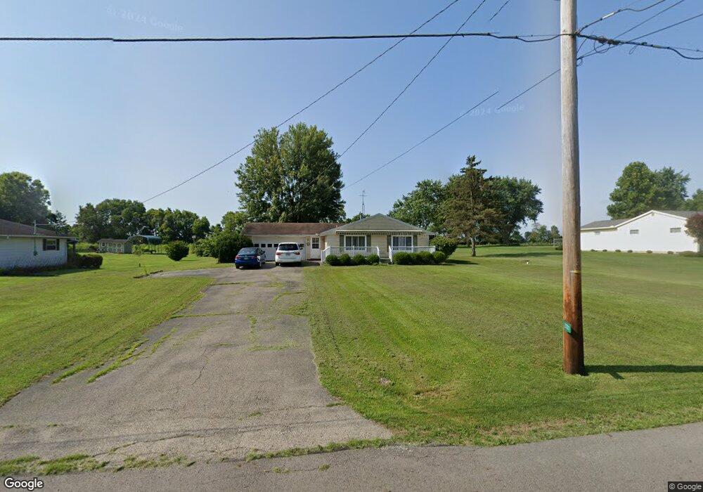
2721 Arthur Rd Springfield, OH 45502
Estimated Value: $206,000 - $295,000
4
Beds
2
Baths
1,818
Sq Ft
$147/Sq Ft
Est. Value
About This Home
This home is located at 2721 Arthur Rd, Springfield, OH 45502 and is currently estimated at $267,361, approximately $147 per square foot. 2721 Arthur Rd is a home located in Clark County with nearby schools including Greenon Elementary School, Greenon Jr. High School, and Greenon High School.
Ownership History
Date
Name
Owned For
Owner Type
Purchase Details
Closed on
Sep 28, 2005
Sold by
Snyder Keith A and Snyder Bobbi
Bought by
Mccarty Thomas J and Mccarty Dianna L
Current Estimated Value
Home Financials for this Owner
Home Financials are based on the most recent Mortgage that was taken out on this home.
Original Mortgage
$106,000
Interest Rate
5.83%
Mortgage Type
Fannie Mae Freddie Mac
Purchase Details
Closed on
Apr 30, 2004
Sold by
Snyder Judith A
Bought by
Snyder Keith A
Purchase Details
Closed on
Mar 14, 1991
Create a Home Valuation Report for This Property
The Home Valuation Report is an in-depth analysis detailing your home's value as well as a comparison with similar homes in the area
Home Values in the Area
Average Home Value in this Area
Purchase History
| Date | Buyer | Sale Price | Title Company |
|---|---|---|---|
| Mccarty Thomas J | $132,500 | -- | |
| Snyder Keith A | -- | -- | |
| -- | $91,000 | -- |
Source: Public Records
Mortgage History
| Date | Status | Borrower | Loan Amount |
|---|---|---|---|
| Previous Owner | Mccarty Thomas J | $106,000 |
Source: Public Records
Tax History Compared to Growth
Tax History
| Year | Tax Paid | Tax Assessment Tax Assessment Total Assessment is a certain percentage of the fair market value that is determined by local assessors to be the total taxable value of land and additions on the property. | Land | Improvement |
|---|---|---|---|---|
| 2024 | $3,338 | $63,830 | $12,810 | $51,020 |
| 2023 | $3,338 | $63,830 | $12,810 | $51,020 |
| 2022 | $3,334 | $63,830 | $12,810 | $51,020 |
| 2021 | $2,726 | $46,260 | $9,290 | $36,970 |
| 2020 | $2,733 | $46,260 | $9,290 | $36,970 |
| 2019 | $2,770 | $46,260 | $9,290 | $36,970 |
| 2018 | $2,790 | $45,560 | $8,510 | $37,050 |
| 2017 | $2,797 | $45,560 | $8,512 | $37,048 |
| 2016 | $2,437 | $45,560 | $8,512 | $37,048 |
| 2015 | $2,262 | $40,758 | $7,739 | $33,019 |
| 2014 | $2,266 | $40,758 | $7,739 | $33,019 |
| 2013 | $1,994 | $40,758 | $7,739 | $33,019 |
Source: Public Records
Map
Nearby Homes
- 1290 Red Oaks Cir
- 3161 Dayton Rd
- 3161 Dayton Springfield Rd
- 1616 Crest Dr
- 1810 Old Mill Rd
- 3587 Lower Valley Pike
- 1515 W Perrin Ave
- 2224 Duquesne Dr
- 1421 Seminole Ave
- 2002 Scioto St
- 124 Old Mill Rd
- 1109 Montgomery Ave
- 0 Upper Valley Pike
- 0 Montgomery Ave
- 190 Oakridge Dr
- 201 Beech Dr
- 1216 Innisfallen Ave
- 1824 Springmont Ave
- 1010 Heard Ave
- 3721 W National Rd