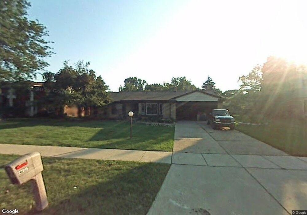
27245 Devonshire St Southfield, MI 48076
Estimated Value: $319,000 - $362,000
3
Beds
2
Baths
2,080
Sq Ft
$166/Sq Ft
Est. Value
About This Home
This home is located at 27245 Devonshire St, Southfield, MI 48076 and is currently estimated at $344,385, approximately $165 per square foot. 27245 Devonshire St is a home located in Oakland County with nearby schools including Alice M. Birney K-8 School, Faxon Academy, and Southfield Christian School.
Ownership History
Date
Name
Owned For
Owner Type
Purchase Details
Closed on
Jun 24, 2014
Sold by
Evans Rosalind R
Bought by
Evans Rosalind R and Diggs Sarina L
Current Estimated Value
Purchase Details
Closed on
Jun 23, 2009
Sold by
Smith Calvin R
Bought by
Federal National Mortgage Association
Purchase Details
Closed on
Feb 3, 2007
Sold by
Smith Calvin R and Smith Arwilda R
Bought by
Smith Calvin R
Home Financials for this Owner
Home Financials are based on the most recent Mortgage that was taken out on this home.
Original Mortgage
$180,000
Interest Rate
6.28%
Mortgage Type
Stand Alone Refi Refinance Of Original Loan
Create a Home Valuation Report for This Property
The Home Valuation Report is an in-depth analysis detailing your home's value as well as a comparison with similar homes in the area
Home Values in the Area
Average Home Value in this Area
Purchase History
| Date | Buyer | Sale Price | Title Company |
|---|---|---|---|
| Evans Rosalind R | -- | None Available | |
| Federal National Mortgage Association | $183,533 | None Available | |
| Smith Calvin R | -- | Lsi |
Source: Public Records
Mortgage History
| Date | Status | Borrower | Loan Amount |
|---|---|---|---|
| Previous Owner | Smith Calvin R | $180,000 |
Source: Public Records
Tax History
| Year | Tax Paid | Tax Assessment Tax Assessment Total Assessment is a certain percentage of the fair market value that is determined by local assessors to be the total taxable value of land and additions on the property. | Land | Improvement |
|---|---|---|---|---|
| 2025 | $4,227 | $163,150 | $34,950 | $128,200 |
| 2022 | $3,560 | $137,130 | $22,550 | $114,580 |
| 2021 | $5,058 | $115,950 | $22,950 | $93,000 |
| 2020 | $4,882 | $109,040 | $18,360 | $90,680 |
| 2018 | $5,202 | $92,280 | $18,360 | $73,920 |
| 2015 | -- | $69,140 | $0 | $0 |
| 2014 | -- | $58,900 | $0 | $0 |
| 2011 | -- | $55,150 | $0 | $0 |
Source: Public Records
Map
Nearby Homes
- 20940 Andover Rd
- 21361 Andover Rd
- 20385 Harbor Ln
- 21605 S Tuller Ct
- 21440 Constitution St
- 20148 Evergreen Meadows Rd
- 20207 Evergreen Meadows Rd
- 27430 Evergreen Rd Unit 36
- 20120 Covington Pkwy
- 28430 Ranchwood Dr
- 28445 Fontana Dr
- 28400 Valley Forge St
- 19360 W 11 Mile Rd
- 21799 Potomac St
- 5000 S Civic Center Dr W Unit Ste 1302
- 21670 Virginia St
- 28330 Lahser Rd
- 28440 Villa Ct N Unit suite 507
- 5000 Town Center Unit 2305
- 5000 Town Center Unit 801
- 27225 Devonshire St
- 27275 Devonshire St
- 20930 Andover Rd
- 27205 Devonshire St
- 20950 Andover Rd
- 27291 Devonshire St
- 20920 Andover Rd
- 27250 Devonshire St
- 27230 Devonshire St
- 27210 Devonshire St
- 27175 Devonshire St
- 27290 Devonshire St
- 20910 Andover Rd
- 20935 Andover Rd
- 27190 Devonshire St
- 20925 Andover Rd
- 27405 Harvard Rd
- 20951 Andover Rd
- 27375 Harvard Rd
- 20945 Andover Rd
Your Personal Tour Guide
Ask me questions while you tour the home.