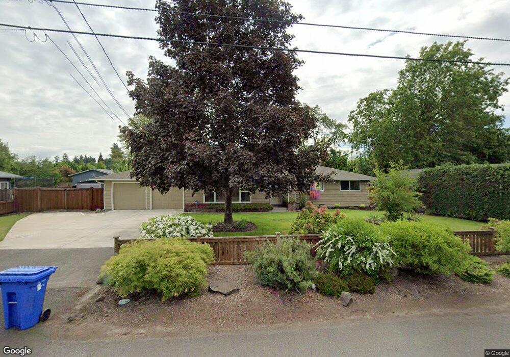
2725 Crocker Rd Eugene, OR 97404
Santa Clara NeighborhoodEstimated Value: $521,000 - $583,000
3
Beds
2
Baths
1,403
Sq Ft
$390/Sq Ft
Est. Value
About This Home
This home is located at 2725 Crocker Rd, Eugene, OR 97404 and is currently estimated at $547,266, approximately $390 per square foot. 2725 Crocker Rd is a home located in Lane County with nearby schools including Spring Creek Elementary School, Madison Middle School, and North Eugene High School.
Ownership History
Date
Name
Owned For
Owner Type
Purchase Details
Closed on
Oct 4, 2007
Sold by
Freedom 4 Llc
Bought by
Horton Suzanne L
Current Estimated Value
Purchase Details
Closed on
Mar 15, 2007
Sold by
Nelson Debbie L
Bought by
Freedom 4 Llc
Purchase Details
Closed on
Mar 14, 2007
Sold by
Ries Richard John and Ries Donna Lee Jordan
Bought by
Nelson Debbie L
Create a Home Valuation Report for This Property
The Home Valuation Report is an in-depth analysis detailing your home's value as well as a comparison with similar homes in the area
Home Values in the Area
Average Home Value in this Area
Purchase History
| Date | Buyer | Sale Price | Title Company |
|---|---|---|---|
| Horton Suzanne L | $287,000 | Fidelity National Title Insu | |
| Freedom 4 Llc | $245,000 | None Available | |
| Nelson Debbie L | $245,000 | Western Title & Escrow Compa |
Source: Public Records
Tax History
| Year | Tax Paid | Tax Assessment Tax Assessment Total Assessment is a certain percentage of the fair market value that is determined by local assessors to be the total taxable value of land and additions on the property. | Land | Improvement |
|---|---|---|---|---|
| 2025 | $5,079 | $260,700 | -- | -- |
| 2024 | $5,016 | $253,107 | -- | -- |
| 2023 | $5,016 | $245,735 | -- | -- |
| 2022 | $4,699 | $238,578 | $0 | $0 |
| 2021 | $4,414 | $231,630 | $0 | $0 |
| 2020 | $4,429 | $224,884 | $0 | $0 |
| 2019 | $4,278 | $218,334 | $0 | $0 |
| 2018 | $3,277 | $167,462 | $0 | $0 |
| 2017 | $3,130 | $167,462 | $0 | $0 |
| 2016 | $3,052 | $162,584 | $0 | $0 |
| 2015 | $2,894 | $157,849 | $0 | $0 |
| 2014 | $2,834 | $153,251 | $0 | $0 |
Source: Public Records
Map
Nearby Homes
- 2721 La Darrah St
- 2563 York St
- 805 Impala Ave
- 541 Durham Ave
- 349 Irving Rd
- 2488 Northampton
- 200 Irving Rd
- 303 Lenore Loop
- 2418 Kalmia St
- 3256 Marvin Dr
- 2987 Dry Creek Rd
- 2965 Teal Place
- 215 Jonquil Ave
- 2931 Shelby Way
- 193 Santa Clara Ave
- 2439 Quince St
- 2610 Crowther Dr
- 374 Blackfoot Ave
- 2580 Crowther Dr
- 401 Sterling Dr
- 2717 Crocker Rd
- 2747 Crocker Rd
- 671 Irving Rd
- 2746 La Darrah St
- 2748 Crocker Rd
- 2750 La Darrah St
- 687 Irving Rd
- 631 Irving Rd
- 2760 Crocker Rd
- 2765 Crocker Rd
- 2710 Crocker Rd
- 2752 La Darrah St
- 2725 Alyndale Dr
- 2759 Alyndale Dr
- 2774 Crocker Rd
- 2724 Alyndale Dr
- 2780 La Darrah St
- 2695 Donegal St
- 2692 York St
- 2771 Alyndale Dr
Your Personal Tour Guide
Ask me questions while you tour the home.