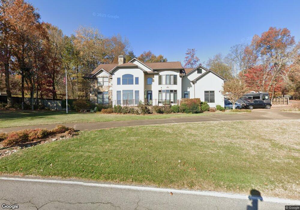
2725 E Brow Rd Signal Mountain, TN 37377
Walden NeighborhoodEstimated Value: $1,052,000 - $1,529,000
--
Bed
1
Bath
3,552
Sq Ft
$335/Sq Ft
Est. Value
About This Home
This home is located at 2725 E Brow Rd, Signal Mountain, TN 37377 and is currently estimated at $1,190,419, approximately $335 per square foot. 2725 E Brow Rd is a home located in Hamilton County with nearby schools including Nolan Elementary School, Signal Mountain Middle/High School, and Signal Mountain Christian School.
Ownership History
Date
Name
Owned For
Owner Type
Purchase Details
Closed on
Jan 12, 2001
Sold by
N H Partners L P
Bought by
Hornsby Jesse D and Hornsby Carol K
Current Estimated Value
Purchase Details
Closed on
Dec 31, 1997
Sold by
Kendall Hugh F
Bought by
N H Partners Lp
Purchase Details
Closed on
Mar 31, 1996
Sold by
Southern Cellulose Product
Bought by
Kendall Hugh F Tr
Create a Home Valuation Report for This Property
The Home Valuation Report is an in-depth analysis detailing your home's value as well as a comparison with similar homes in the area
Home Values in the Area
Average Home Value in this Area
Purchase History
| Date | Buyer | Sale Price | Title Company |
|---|---|---|---|
| Hornsby Jesse D | $95,000 | Pioneer Title Agency Inc | |
| N H Partners Lp | $67,500 | Pioneer Title Agency Inc | |
| Kendall Hugh F Tr | -- | -- |
Source: Public Records
Tax History Compared to Growth
Tax History
| Year | Tax Paid | Tax Assessment Tax Assessment Total Assessment is a certain percentage of the fair market value that is determined by local assessors to be the total taxable value of land and additions on the property. | Land | Improvement |
|---|---|---|---|---|
| 2024 | $4,033 | $180,250 | $0 | $0 |
| 2023 | $4,991 | $180,250 | $0 | $0 |
| 2022 | $4,991 | $180,250 | $0 | $0 |
| 2021 | $4,991 | $180,250 | $0 | $0 |
| 2020 | $5,111 | $151,625 | $0 | $0 |
| 2019 | $4,959 | $151,625 | $0 | $0 |
| 2018 | $4,807 | $151,625 | $0 | $0 |
| 2017 | $4,777 | $151,625 | $0 | $0 |
| 2016 | $4,525 | $0 | $0 | $0 |
| 2015 | $4,525 | $141,675 | $0 | $0 |
| 2014 | $4,525 | $0 | $0 | $0 |
Source: Public Records
Map
Nearby Homes
- 3002 Wilson Ave
- 3680 Wilson Ave
- 2804 Taft Hwy
- 3612 Taft Hwy
- 914 Olsen Ave
- 1702 James Blvd
- 5517 Abby Grace Loop
- 848 Skyline Park Dr
- 0 Skyline Park Dr Unit 1525124
- 837 Skyline Park Dr
- 4975 Browntown Rd
- 5423 Mccahill Rd
- 810 Younger Cir
- 714 Berry Spring Path
- 11 Saint Nicholas Way
- 10 Majestic Oaks Dr
- 10 Acres Majestic Oaks Dr
- 0 Majestic Oaks Dr Unit 24033570
- 25 Ridgerock Dr
- 1713 Timesville Rd
- 2717 E Brow Rd
- 1 Bluffview Dr
- 2903 E Brow Rd
- 112 Sylvan City Dr
- 2709 E Brow Rd
- 501 Bluffview Dr
- 2907 E Brow Rd
- 204 Sylvan City Dr
- 114 Sylvan City Dr
- 201 Clegg St
- 207 Sylvan City Dr
- 210 Sylvan City Dr
- 2611 E Brow Rd
- 203 Clegg St
- 3000 Spring Ave
- 2915 E Brow Rd
- 213 Sylvan Dr
- 213 Sylvan City Dr
- 214 Sylvan City Dr
- 207 Clegg St