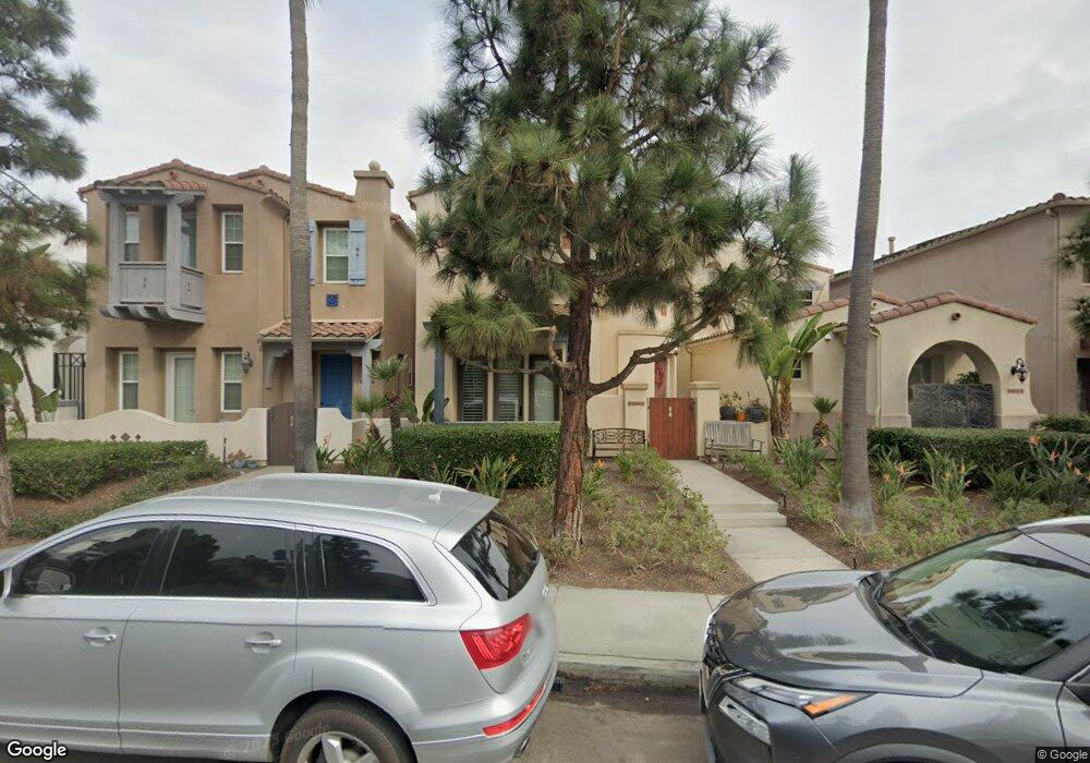
2726 Laning Rd San Diego, CA 92106
Liberty Station NeighborhoodEstimated Value: $1,823,000 - $1,880,000
3
Beds
3
Baths
2,687
Sq Ft
$694/Sq Ft
Est. Value
About This Home
This home is located at 2726 Laning Rd, San Diego, CA 92106 and is currently estimated at $1,863,610, approximately $693 per square foot. 2726 Laning Rd is a home located in San Diego County with nearby schools including Loma Portal Elementary School, Richard Henry Dana Middle School, and Correia Middle School.
Ownership History
Date
Name
Owned For
Owner Type
Purchase Details
Closed on
May 20, 2013
Sold by
Bass Michael S and Bass Maria
Bought by
Bernay Alexandra S
Current Estimated Value
Home Financials for this Owner
Home Financials are based on the most recent Mortgage that was taken out on this home.
Original Mortgage
$83,750
Outstanding Balance
$59,787
Interest Rate
3.57%
Mortgage Type
Credit Line Revolving
Estimated Equity
$1,803,823
Purchase Details
Closed on
Jun 21, 2012
Sold by
Bohrod Gordon Georgi
Bought by
Bass Michael S and Bass Maria
Home Financials for this Owner
Home Financials are based on the most recent Mortgage that was taken out on this home.
Original Mortgage
$546,250
Interest Rate
3.63%
Mortgage Type
New Conventional
Purchase Details
Closed on
Dec 23, 2009
Sold by
Bohrod Gordon Georgi
Bought by
Bohrod Gordon Georgi
Purchase Details
Closed on
Mar 11, 2009
Sold by
Gordon Richard
Bought by
Bohrod Gordon Georgi
Home Financials for this Owner
Home Financials are based on the most recent Mortgage that was taken out on this home.
Original Mortgage
$546,000
Interest Rate
4.92%
Mortgage Type
Purchase Money Mortgage
Purchase Details
Closed on
Feb 19, 2009
Sold by
Powell John Paul and Powell Pamela Baker
Bought by
Gordon Richard and Bohrod Gordon Georgi
Home Financials for this Owner
Home Financials are based on the most recent Mortgage that was taken out on this home.
Original Mortgage
$546,000
Interest Rate
4.92%
Mortgage Type
Purchase Money Mortgage
Purchase Details
Closed on
Mar 10, 2005
Sold by
Mcmillin Ntc 129 Llc
Bought by
Powell John Paul and Powell Pamela Baker
Home Financials for this Owner
Home Financials are based on the most recent Mortgage that was taken out on this home.
Original Mortgage
$450,000
Interest Rate
5.92%
Mortgage Type
Fannie Mae Freddie Mac
Create a Home Valuation Report for This Property
The Home Valuation Report is an in-depth analysis detailing your home's value as well as a comparison with similar homes in the area
Home Values in the Area
Average Home Value in this Area
Purchase History
| Date | Buyer | Sale Price | Title Company |
|---|---|---|---|
| Bernay Alexandra S | $857,500 | Corinthian Title Company | |
| Bass Michael S | $800,000 | Chicago Title Company | |
| Bohrod Gordon Georgi | -- | None Available | |
| Bohrod Gordon Georgi | -- | None Available | |
| Gordon Richard | $877,500 | First American Title | |
| Powell John Paul | $929,000 | First American Title |
Source: Public Records
Mortgage History
| Date | Status | Borrower | Loan Amount |
|---|---|---|---|
| Open | Bernay Alexandra S | $83,750 | |
| Open | Bernay Alexandra S | $628,125 | |
| Previous Owner | Bass Michael S | $546,250 | |
| Previous Owner | Gordon Richard | $546,000 | |
| Previous Owner | Powell John Paul | $450,000 |
Source: Public Records
Tax History Compared to Growth
Tax History
| Year | Tax Paid | Tax Assessment Tax Assessment Total Assessment is a certain percentage of the fair market value that is determined by local assessors to be the total taxable value of land and additions on the property. | Land | Improvement |
|---|---|---|---|---|
| 2025 | $14,615 | $1,031,308 | $515,654 | $515,654 |
| 2024 | $14,615 | $1,011,088 | $505,544 | $505,544 |
| 2023 | $14,359 | $991,264 | $495,632 | $495,632 |
| 2022 | $14,083 | $971,828 | $485,914 | $485,914 |
| 2021 | $13,944 | $952,774 | $476,387 | $476,387 |
| 2020 | $13,816 | $943,006 | $471,503 | $471,503 |
| 2019 | $13,540 | $924,516 | $462,258 | $462,258 |
| 2018 | $12,825 | $906,390 | $453,195 | $453,195 |
| 2017 | $12,580 | $888,618 | $444,309 | $444,309 |
| 2016 | $12,616 | $871,196 | $435,598 | $435,598 |
| 2015 | $12,459 | $858,110 | $429,055 | $429,055 |
| 2014 | $12,229 | $841,302 | $420,651 | $420,651 |
Source: Public Records
Map
Nearby Homes
- 2734 Laning Rd Unit 2
- 2730 E Evans Rd Unit 9
- 2852 Laning Rd Unit 1
- 3028 Sterne St
- 2205 Locust St
- 3126 Russell St
- 2035 Evergreen St
- 1840 Locust St
- 3145 Quimby St
- 3122 Newell St
- 3018-20 Nimitz Blvd
- 3046 Nimitz Blvd
- 3030 Jarvis St Unit 2
- 3111 Keats St Unit 1
- 1674 Evergreen St
- 3412 Poe St
- 3428 Quimby St
- 3503 Quimby St
- 1561-65 Evergreen St
- 2175 Clove St
- 2718 Laning Rd
- 2710 Laning Rd
- 2750 Laning Rd
- 2702 Laning Rd Unit 2
- 2758 Laning Rd
- 2731 E Bainbridge Rd
- 2725 E Bainbridge Rd
- 2739 E Bainbridge Rd
- 2717 E Bainbridge Rd
- 2745 E Bainbridge Rd
- 2711 E Bainbridge Rd
- 2753 E Bainbridge Rd Unit 2
- 2703 E Bainbridge Rd
- 2774 Laning Rd
- 2759 E Bainbridge Rd
- 2765 E Bainbridge Rd
- 2782 Laning Rd
- 2771 E Bainbridge Rd
- E E Bainbridge Rd
- 2790 Laning Rd