2727 Midland Rd Shelbyville, TN 37160
Estimated Value: $313,362 - $406,000
--
Bed
2
Baths
1,500
Sq Ft
$246/Sq Ft
Est. Value
About This Home
This home is located at 2727 Midland Rd, Shelbyville, TN 37160 and is currently estimated at $368,341, approximately $245 per square foot. 2727 Midland Rd is a home located in Bedford County with nearby schools including Community Elementary School, Community Middle School, and Community High School.
Ownership History
Date
Name
Owned For
Owner Type
Purchase Details
Closed on
May 21, 2009
Sold by
Eslick Chad William
Bought by
Westbrook Robert C
Current Estimated Value
Purchase Details
Closed on
Sep 3, 2004
Sold by
Collins Kathy S Taylor
Bought by
Eslick Chad William
Home Financials for this Owner
Home Financials are based on the most recent Mortgage that was taken out on this home.
Original Mortgage
$139,900
Interest Rate
5.92%
Purchase Details
Closed on
Feb 5, 2003
Sold by
Taylor Kathy S
Bought by
Moore Judith
Purchase Details
Closed on
Aug 22, 2002
Sold by
Foust Charles
Bought by
Taylor Kathy S
Purchase Details
Closed on
Feb 2, 1995
Sold by
Moore Ruby M
Bought by
Fears Davis
Create a Home Valuation Report for This Property
The Home Valuation Report is an in-depth analysis detailing your home's value as well as a comparison with similar homes in the area
Home Values in the Area
Average Home Value in this Area
Purchase History
| Date | Buyer | Sale Price | Title Company |
|---|---|---|---|
| Westbrook Robert C | $155,000 | -- | |
| Eslick Chad William | $139,900 | -- | |
| Moore Judith | $25,000 | -- | |
| Taylor Kathy S | $115,000 | -- | |
| Fears Davis | $83,600 | -- |
Source: Public Records
Mortgage History
| Date | Status | Borrower | Loan Amount |
|---|---|---|---|
| Previous Owner | Fears Davis | $139,900 |
Source: Public Records
Tax History Compared to Growth
Tax History
| Year | Tax Paid | Tax Assessment Tax Assessment Total Assessment is a certain percentage of the fair market value that is determined by local assessors to be the total taxable value of land and additions on the property. | Land | Improvement |
|---|---|---|---|---|
| 2025 | $1,320 | $56,775 | $0 | $0 |
| 2024 | $1,320 | $56,775 | $18,625 | $38,150 |
| 2023 | $1,320 | $56,775 | $18,625 | $38,150 |
| 2022 | $1,320 | $56,775 | $18,625 | $38,150 |
| 2021 | $1,116 | $56,775 | $18,625 | $38,150 |
| 2020 | $803 | $56,775 | $18,625 | $38,150 |
| 2019 | $803 | $30,175 | $9,625 | $20,550 |
| 2018 | $772 | $30,175 | $9,625 | $20,550 |
| 2017 | $772 | $30,175 | $9,625 | $20,550 |
| 2016 | $760 | $30,175 | $9,625 | $20,550 |
| 2015 | $760 | $30,175 | $9,625 | $20,550 |
| 2014 | $666 | $29,335 | $0 | $0 |
Source: Public Records
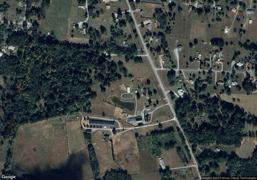
Map
Nearby Homes
- 2697 Midland Rd
- 0 Harts Chapel Rd
- 2936 Midland Rd
- 289 Pinkston Rd
- 0 Pinkston Rd Unit 21080136
- 0 Pinkston Rd Unit RTC2797276
- 103 Horseshoe Ct
- 0 Old Nashville Dirt Rd
- 1802 Old Nashville Dirt Rd
- 292 Gregory Mill Rd
- 2511 Unionville Deason Rd
- 2230 Unionville Deason Rd
- 2385 Unionville Deason Rd
- 2250 Unionville Deason Rd
- 108 Rabbit Run
- 215 Highway 82 E
- 2242 Unionville Deason Rd
- 2190 Unionville Deason Rd
- 0 Hwy 231 N
- 2152 Unionville Deason Rd
- 2725 Midland Rd
- 2725 Midland Rd
- 2731 Midland Rd
- 2728 Midland Rd
- 2733 Midland Rd
- 2720 Midland Rd
- 2724 Midland Rd
- 2723 Midland Rd
- 2730 Midland Rd
- 101 Perry Acres Rd
- 102 Perry Acres Rd
- 2734 Midland Rd
- 103 Perry Acres Rd
- 104 Perry Acres Rd
- 2716 Midland Rd
- 2741 Midland Rd
- 2738 Midland Rd
- 105 Perry Acres Rd
- 107 Perry Acres Rd
- 505 Frank Martin Rd