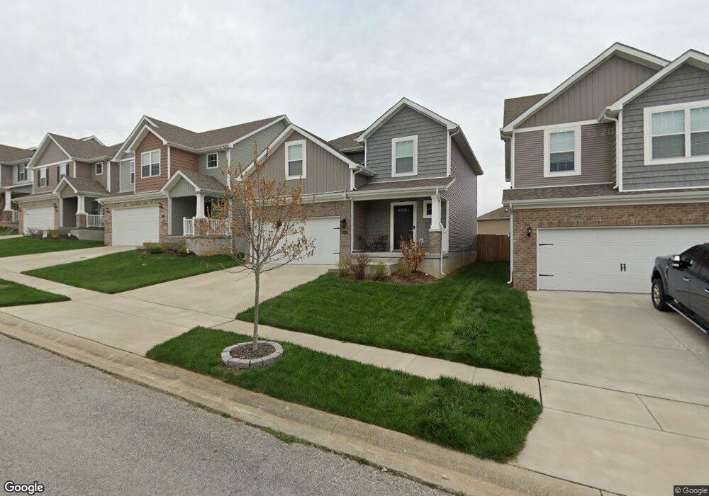
2729 Burnt Mill Rd Lexington, KY 40511
McConnell's Trace NeighborhoodEstimated Value: $343,752 - $370,000
3
Beds
3
Baths
1,852
Sq Ft
$190/Sq Ft
Est. Value
About This Home
This home is located at 2729 Burnt Mill Rd, Lexington, KY 40511 and is currently estimated at $352,438, approximately $190 per square foot. 2729 Burnt Mill Rd is a home with nearby schools including Meadowthorpe Elementary School, Leestown Middle School, and Paul Laurence Dunbar High School.
Ownership History
Date
Name
Owned For
Owner Type
Purchase Details
Closed on
Nov 12, 2020
Sold by
Harmony Hb Llc
Bought by
Thalheimer Cory W
Current Estimated Value
Home Financials for this Owner
Home Financials are based on the most recent Mortgage that was taken out on this home.
Original Mortgage
$220,000
Outstanding Balance
$195,769
Interest Rate
2.8%
Mortgage Type
New Conventional
Estimated Equity
$156,669
Purchase Details
Closed on
Sep 16, 2020
Sold by
Jeffco Llc
Bought by
Harmony Hb Llc
Home Financials for this Owner
Home Financials are based on the most recent Mortgage that was taken out on this home.
Original Mortgage
$220,000
Outstanding Balance
$195,769
Interest Rate
2.8%
Mortgage Type
New Conventional
Estimated Equity
$156,669
Create a Home Valuation Report for This Property
The Home Valuation Report is an in-depth analysis detailing your home's value as well as a comparison with similar homes in the area
Home Values in the Area
Average Home Value in this Area
Purchase History
| Date | Buyer | Sale Price | Title Company |
|---|---|---|---|
| Thalheimer Cory W | $247,205 | -- | |
| Harmony Hb Llc | $44,224 | -- |
Source: Public Records
Mortgage History
| Date | Status | Borrower | Loan Amount |
|---|---|---|---|
| Open | Harmony Hb Llc | $220,000 |
Source: Public Records
Tax History Compared to Growth
Tax History
| Year | Tax Paid | Tax Assessment Tax Assessment Total Assessment is a certain percentage of the fair market value that is determined by local assessors to be the total taxable value of land and additions on the property. | Land | Improvement |
|---|---|---|---|---|
| 2024 | $3,252 | $263,000 | $0 | $0 |
| 2023 | $3,252 | $263,000 | $0 | $0 |
| 2022 | $3,360 | $263,000 | $0 | $0 |
| 2021 | $3,158 | $247,200 | $0 | $0 |
| 2020 | $358 | $28,000 | $0 | $0 |
| 2019 | $358 | $28,000 | $0 | $0 |
| 2018 | $358 | $28,000 | $0 | $0 |
| 2017 | $341 | $28,000 | $0 | $0 |
| 2015 | $313 | $28,000 | $0 | $0 |
| 2014 | $313 | $28,000 | $0 | $0 |
| 2012 | $313 | $28,000 | $0 | $0 |
Source: Public Records
Map
Nearby Homes
- 2773 Burnt Mill Rd
- 220 White Oak Trace
- 2833 Burnt Mill Rd
- 2769 Whiteberry Dr
- 121 Chestnut Ridge Dr
- 2749 Whiteberry Dr
- 2625 Whiteberry Dr
- 101 White Oak Trace
- 2972 Town Branch Rd
- 2940 Summerfield Dr
- 188 Lucille Dr
- 261 Ferndale Pass
- 3065 Caddis Ln
- 2617 Buck Ln
- 2649 Michelle Park
- 2720 Michelle Park
- 2705 Michelle Park
- 297 Lucille Dr
- 2752 Jacquelyn Ln
- 349 Silver Creek Way
- 2725 Burnt Mill Rd
- 2733 Burnt Mill Rd
- 2737 Burnt Mill Rd
- 2721 Burnt Mill Rd
- 376 White Oak Trace
- 380 White Oak Trace
- 384 White Oak Trace
- 2741 Burnt Mill Rd
- 392 White Oak Trace
- 2728 Burnt Mill Rd
- 360 White Oak Trace
- 2724 Burnt Mill Rd
- 396 White Oak Trace
- 2745 Burnt Mill Rd
- 2720 Burnt Mill Rd
- 2736 Burnt Mill Rd
- 400 White Oak Trace
- 2740 Burnt Mill Rd
- 2716 Burnt Mill Rd
- 2749 Burnt Mill Rd