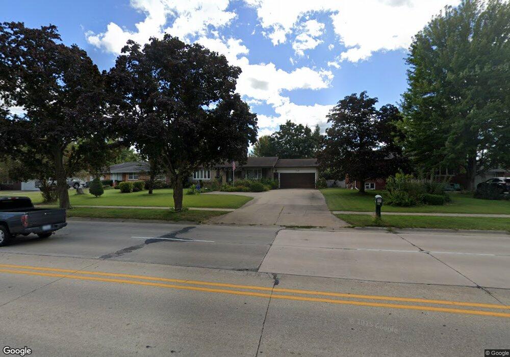
2729 Division St Burlington, IA 52601
Estimated Value: $179,000 - $228,000
4
Beds
2
Baths
1,228
Sq Ft
$158/Sq Ft
Est. Value
About This Home
This home is located at 2729 Division St, Burlington, IA 52601 and is currently estimated at $194,133, approximately $158 per square foot. 2729 Division St is a home located in Des Moines County with nearby schools including Burlington Community High School, Burlington Notre Dame Catholic Elementary School, and Burlington Notre Dame Junior/Senior High School.
Ownership History
Date
Name
Owned For
Owner Type
Purchase Details
Closed on
Aug 23, 2021
Sold by
Sly James D
Bought by
Sly Alyssa
Current Estimated Value
Purchase Details
Closed on
Mar 21, 2013
Sold by
Snowbarger Linda D and Snowbarger Jimmie
Bought by
Stewart William S
Purchase Details
Closed on
Mar 19, 2013
Sold by
The Estate Of Roland S Stewart
Bought by
Snowbarger Linda D and Stewart William S
Create a Home Valuation Report for This Property
The Home Valuation Report is an in-depth analysis detailing your home's value as well as a comparison with similar homes in the area
Home Values in the Area
Average Home Value in this Area
Purchase History
| Date | Buyer | Sale Price | Title Company |
|---|---|---|---|
| Sly Alyssa | $1,000 | None Listed On Document | |
| Stewart William S | -- | None Available | |
| Snowbarger Linda D | -- | None Available |
Source: Public Records
Tax History Compared to Growth
Tax History
| Year | Tax Paid | Tax Assessment Tax Assessment Total Assessment is a certain percentage of the fair market value that is determined by local assessors to be the total taxable value of land and additions on the property. | Land | Improvement |
|---|---|---|---|---|
| 2025 | $2,926 | $190,500 | $18,800 | $171,700 |
| 2024 | $2,926 | $169,200 | $18,800 | $150,400 |
| 2023 | $2,548 | $169,200 | $18,800 | $150,400 |
| 2022 | $2,554 | $137,800 | $18,800 | $119,000 |
| 2021 | $2,554 | $137,800 | $18,800 | $119,000 |
| 2020 | $2,726 | $137,800 | $18,800 | $119,000 |
| 2019 | $2,752 | $137,800 | $18,800 | $119,000 |
| 2018 | $2,752 | $131,400 | $19,800 | $111,600 |
| 2017 | $2,752 | $128,800 | $0 | $0 |
| 2016 | $2,932 | $128,800 | $0 | $0 |
| 2015 | $2,932 | $128,800 | $0 | $0 |
| 2014 | $2,970 | $118,100 | $0 | $0 |
Source: Public Records
Map
Nearby Homes
- 2732 Meadowbrook Dr
- 2600 Amelia St
- 123 Shields St
- 2512 Clearview Dr
- 14528 S Highway 61
- 513 Hagemann Ave
- TBD S Highway 61
- 2204 Williams St
- 420 S Plane St
- 906 Westland Dr
- 526 S Plane St
- 2912 Garden Ave
- 930 Horizon St
- 310 Curran St
- 410 S Starr Ave
- 817 S Plane St
- 915 Hagemann Ave
- 320 N Plane St
- 913 Lawrence Dr
- 809 S Starr Ave
- 2725 Division St
- 2733 Division St
- 2728 Meadowbrook Dr
- 2724 Meadowbrook Dr
- 2721 Division St
- 2737 Division St
- 2720 Meadowbrook Dr
- 2736 Meadowbrook Dr
- 2748 Division St
- 2717 Division St
- 2740 Division St
- 2716 Meadowbrook Dr
- 2752 Division St
- 2752 Division St
- 2720 Division St
- 2729 Meadowbrook Dr
- 2713 Division St
- 2735 Meadowbrook Dr
- 2725 Meadowbrook Dr
- 2712 Meadowbrook Dr