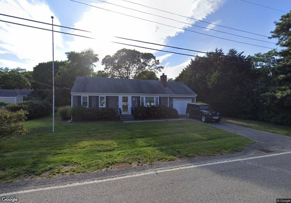
273 Division St Dennis Port, MA 02639
Dennis Port NeighborhoodEstimated Value: $570,000 - $661,000
2
Beds
2
Baths
1,312
Sq Ft
$474/Sq Ft
Est. Value
About This Home
This home is located at 273 Division St, Dennis Port, MA 02639 and is currently estimated at $622,109, approximately $474 per square foot. 273 Division St is a home located in Barnstable County with nearby schools including Dennis-Yarmouth Regional High School and St. Pius X. School.
Ownership History
Date
Name
Owned For
Owner Type
Purchase Details
Closed on
Jan 16, 2009
Sold by
Every Valerie A
Bought by
273 Division Street Rt and Every Valerie A
Current Estimated Value
Purchase Details
Closed on
Nov 6, 2007
Sold by
Sundstrom Alice R and Sundstrom Ralph W
Bought by
Every Valerie A
Purchase Details
Closed on
Jun 23, 2004
Sold by
Sundstrom Ralph W
Bought by
Sundstrom Alice R and Sundstrom Ralph W
Create a Home Valuation Report for This Property
The Home Valuation Report is an in-depth analysis detailing your home's value as well as a comparison with similar homes in the area
Home Values in the Area
Average Home Value in this Area
Purchase History
| Date | Buyer | Sale Price | Title Company |
|---|---|---|---|
| 273 Division Street Rt | -- | -- | |
| Every Valerie A | -- | -- | |
| Sundstrom Alice R | -- | -- |
Source: Public Records
Tax History Compared to Growth
Tax History
| Year | Tax Paid | Tax Assessment Tax Assessment Total Assessment is a certain percentage of the fair market value that is determined by local assessors to be the total taxable value of land and additions on the property. | Land | Improvement |
|---|---|---|---|---|
| 2025 | $2,675 | $617,800 | $129,100 | $488,700 |
| 2024 | $2,628 | $598,700 | $131,500 | $467,200 |
| 2023 | $2,541 | $544,200 | $119,500 | $424,700 |
| 2022 | $2,432 | $434,300 | $119,600 | $314,700 |
| 2021 | $2,035 | $337,500 | $105,500 | $232,000 |
| 2020 | $6,712 | $275,400 | $105,500 | $169,900 |
| 2019 | $1,571 | $254,600 | $103,500 | $151,100 |
| 2018 | $6,108 | $235,900 | $98,500 | $137,400 |
| 2017 | $1,424 | $231,600 | $98,500 | $133,100 |
| 2016 | $1,330 | $203,700 | $109,400 | $94,300 |
| 2015 | $1,304 | $203,700 | $109,400 | $94,300 |
| 2014 | $1,261 | $198,600 | $87,600 | $111,000 |
Source: Public Records
Map
Nearby Homes
- 11 Lane Rd
- 91 Depot Rd W
- 141 Division St
- 141 Division St
- 47 Telegraph Rd Unit 1
- 9 Country Ln
- 9 Bells Neck Rd Unit 10
- 45 Route 28
- 24 Indian Trail
- 78 Upper County Rd Unit A&B
- 78 Upper County Rd
- 9 Mansion St
- 12 Candlewood Ln Unit 2-9
- 10 Candlewood Ln Unit 2-1
- 64 Smith St
- 79 Massachusetts 28
- 40 Willow St
- 537 Depot St
- 73 Division St
- 148 Belmont Rd
- 8 Old Pine Trail
- 279 Division St
- 269 Division St
- 12 Old Pine Trail
- 4 Old Pine Trail
- 207 Division St Unit MAIN
- 207 Division St
- 207 Division St Unit 207A
- 215 Division St
- 283 Division St
- 217 Division St
- 263 Division St
- 3 Old Pine Trail
- 160 Telegraph Rd
- 221 Division St
- 152 Telegraph Rd
- 152 Telegraph Rd Unit A&B
- 15 Old Pine Trail
- 285 Division St
- 146 Telegraph Rd