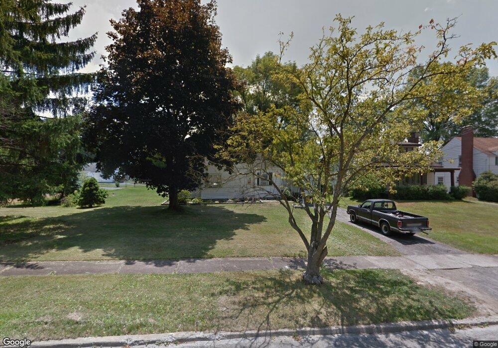
273 Erskine Ave Youngstown, OH 44512
Estimated Value: $102,000 - $134,000
3
Beds
1
Bath
1,032
Sq Ft
$112/Sq Ft
Est. Value
About This Home
This home is located at 273 Erskine Ave, Youngstown, OH 44512 and is currently estimated at $115,697, approximately $112 per square foot. 273 Erskine Ave is a home located in Mahoning County with nearby schools including Boardman Glenwood Junior High School, Boardman High School, and Horizon Science Academy - Youngstown.
Ownership History
Date
Name
Owned For
Owner Type
Purchase Details
Closed on
Aug 7, 2005
Sold by
Bukovina William and Bukovina Linda Ross
Bought by
Lopez Tina
Current Estimated Value
Home Financials for this Owner
Home Financials are based on the most recent Mortgage that was taken out on this home.
Original Mortgage
$58,250
Outstanding Balance
$30,658
Interest Rate
5.69%
Mortgage Type
Fannie Mae Freddie Mac
Estimated Equity
$85,039
Purchase Details
Closed on
Apr 14, 1994
Bought by
Sherhag Linda R
Create a Home Valuation Report for This Property
The Home Valuation Report is an in-depth analysis detailing your home's value as well as a comparison with similar homes in the area
Home Values in the Area
Average Home Value in this Area
Purchase History
| Date | Buyer | Sale Price | Title Company |
|---|---|---|---|
| Lopez Tina | $65,000 | -- | |
| Sherhag Linda R | -- | -- |
Source: Public Records
Mortgage History
| Date | Status | Borrower | Loan Amount |
|---|---|---|---|
| Open | Lopez Tina | $58,250 |
Source: Public Records
Tax History Compared to Growth
Tax History
| Year | Tax Paid | Tax Assessment Tax Assessment Total Assessment is a certain percentage of the fair market value that is determined by local assessors to be the total taxable value of land and additions on the property. | Land | Improvement |
|---|---|---|---|---|
| 2024 | $1,374 | $26,400 | $5,280 | $21,120 |
| 2023 | $1,356 | $26,400 | $5,280 | $21,120 |
| 2022 | $1,255 | $18,640 | $4,910 | $13,730 |
| 2021 | $1,256 | $18,640 | $4,910 | $13,730 |
| 2020 | $1,262 | $18,640 | $4,910 | $13,730 |
| 2019 | $1,247 | $15,930 | $4,190 | $11,740 |
| 2018 | $1,042 | $15,930 | $4,190 | $11,740 |
| 2017 | $1,084 | $15,930 | $4,190 | $11,740 |
| 2016 | $1,143 | $17,640 | $4,690 | $12,950 |
| 2015 | $1,121 | $17,640 | $4,690 | $12,950 |
| 2014 | $1,124 | $17,640 | $4,690 | $12,950 |
| 2013 | $1,110 | $17,640 | $4,690 | $12,950 |
Source: Public Records
Map
Nearby Homes
- 329 Afton Ave
- 167 Afton Ave
- 0 Indianola Rd
- 149 Argyle Ave
- 0 Mathews Rd Unit 5038026
- 127 Melrose Ave
- 0 Cranberry Ln Unit 5170595
- 429 Tudor Ln
- 175 Homestead Dr
- 4715 Euclid Blvd
- 424 Mathews Rd
- 81 Melrose Ave
- 6001 Applecrest Dr
- 197 Mathews Rd Unit B
- 767 Indianola Rd
- 148 Clifton Dr
- 44 Gertrude Ave
- 4552 New England Blvd
- 732 Forest Ridge Dr
- 796 Edenridge Dr
- 269 Erskine Ave
- 303 Erskine Ave
- 263 Erskine Ave
- 274 Afton Ave
- 270 Afton Ave
- 309 Erskine Ave
- 259 Erskine Ave
- 264 Afton Ave
- 304 Afton Ave
- 313 Erskine Ave
- 253 Erskine Ave
- 270 Erskine Ave
- 258 Afton Ave
- 310 Afton Ave
- 304 Erskine Ave
- 260 Erskine Ave
- 252 Afton Ave
- 319 Erskine Ave
- 249 Erskine Ave
- 316 Afton Ave