273 Monmouth Ave Thorofare, NJ 08086
West Deptford Township NeighborhoodEstimated Value: $368,000 - $663,000
--
Bed
--
Bath
2,954
Sq Ft
$187/Sq Ft
Est. Value
About This Home
This home is located at 273 Monmouth Ave, Thorofare, NJ 08086 and is currently estimated at $551,720, approximately $186 per square foot. 273 Monmouth Ave is a home located in Gloucester County with nearby schools including Red Bank Elementary School, Oakview Elementary School, and Green-Fields Elementary School.
Ownership History
Date
Name
Owned For
Owner Type
Purchase Details
Closed on
Oct 14, 2020
Sold by
Gorham Ronald and Gorham Helen E
Bought by
Kofsky Larry J and Kofsky Stephanie M
Current Estimated Value
Home Financials for this Owner
Home Financials are based on the most recent Mortgage that was taken out on this home.
Original Mortgage
$64,000
Outstanding Balance
$56,690
Interest Rate
2.8%
Mortgage Type
Credit Line Revolving
Estimated Equity
$495,030
Purchase Details
Closed on
May 29, 2002
Sold by
Mcdermott John L
Bought by
Gorham Ronald and Gorham Helen E
Home Financials for this Owner
Home Financials are based on the most recent Mortgage that was taken out on this home.
Original Mortgage
$159,000
Interest Rate
6.9%
Mortgage Type
Purchase Money Mortgage
Create a Home Valuation Report for This Property
The Home Valuation Report is an in-depth analysis detailing your home's value as well as a comparison with similar homes in the area
Home Values in the Area
Average Home Value in this Area
Purchase History
| Date | Buyer | Sale Price | Title Company |
|---|---|---|---|
| Kofsky Larry J | $80,000 | National Integrity Llc | |
| Gorham Ronald | $180,000 | Fidelity National Title Ins |
Source: Public Records
Mortgage History
| Date | Status | Borrower | Loan Amount |
|---|---|---|---|
| Open | Kofsky Larry J | $64,000 | |
| Previous Owner | Gorham Ronald | $159,000 |
Source: Public Records
Tax History Compared to Growth
Tax History
| Year | Tax Paid | Tax Assessment Tax Assessment Total Assessment is a certain percentage of the fair market value that is determined by local assessors to be the total taxable value of land and additions on the property. | Land | Improvement |
|---|---|---|---|---|
| 2025 | $13,961 | $399,800 | $65,200 | $334,600 |
| 2024 | $13,781 | $399,800 | $65,200 | $334,600 |
| 2023 | $13,781 | $399,800 | $65,200 | $334,600 |
| 2022 | $2,237 | $65,200 | $65,200 | $0 |
| 2021 | $2,229 | $65,200 | $65,200 | $0 |
| 2020 | $2,224 | $65,200 | $65,200 | $0 |
| 2019 | $2,162 | $65,200 | $65,200 | $0 |
| 2018 | $2,103 | $65,200 | $65,200 | $0 |
| 2017 | $2,578 | $81,800 | $65,200 | $16,600 |
| 2016 | $6,739 | $220,000 | $65,200 | $154,800 |
| 2015 | $6,420 | $220,000 | $65,200 | $154,800 |
| 2014 | $6,101 | $220,000 | $65,200 | $154,800 |
Source: Public Records
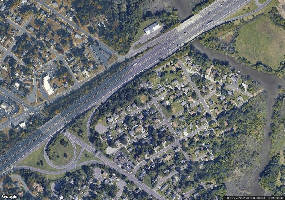
Map
Nearby Homes
- 266 Passaic Ave
- 107 Audubon Ave
- 121 Cape May Ave
- 400 Audubon Ave
- 10 Kennedy Ct
- 439 Crown Point Rd
- 64 Tilden Rd
- 67 Pelican Place
- 433 Crown Point Rd
- 112 N Drexel St
- 1810 Fernwood Dr
- 136 Sandpiper Ln
- 21 S Columbia St
- 558 Prince St
- 1311 Barnesdale Rd
- 4 Saint Emilion Ct
- 6 Phoebe Terrace
- 344 S Girard St
- 97 Church St
- 1678 Miller Ave
- 267 Monmouth Ave
- 263 Monmouth Ave
- 272 Monmouth Ave
- 266 Monmouth Ave
- 101 Harding Ave
- 259 Monmouth Ave
- 276 Monmouth Ave
- 276 N Monmouth Ave
- 260 Monmouth Ave
- 301 Monmouth Ave
- 265 Middlesex Ave
- 271 Middlesex Ave
- 255 Monmouth Ave
- 256 Monmouth Ave
- 102 Harding Ave
- 261 Middlesex Ave
- 300 Monmouth Ave
- 311 Monmouth Ave
- 257 Middlesex Ave
- 253 Monmouth Ave