273 Sam Brown Rd Murrayville, GA 30564
Murrayville NeighborhoodEstimated Value: $246,203 - $372,000
--
Bed
2
Baths
1,908
Sq Ft
$163/Sq Ft
Est. Value
About This Home
This home is located at 273 Sam Brown Rd, Murrayville, GA 30564 and is currently estimated at $311,301, approximately $163 per square foot. 273 Sam Brown Rd is a home located in Lumpkin County with nearby schools including Lumpkin County High School.
Ownership History
Date
Name
Owned For
Owner Type
Purchase Details
Closed on
Jul 29, 2021
Sold by
Ward Roger
Bought by
Rider Lisa Lynn Ward and Whitehead Michelle Ward
Current Estimated Value
Purchase Details
Closed on
Aug 16, 1999
Sold by
Brown Clarence
Bought by
Ward Shirley
Purchase Details
Closed on
Jan 6, 1989
Sold by
Ward Roger
Bought by
Brown Clarence
Purchase Details
Closed on
Dec 1, 1985
Bought by
Ward Roger
Create a Home Valuation Report for This Property
The Home Valuation Report is an in-depth analysis detailing your home's value as well as a comparison with similar homes in the area
Home Values in the Area
Average Home Value in this Area
Purchase History
| Date | Buyer | Sale Price | Title Company |
|---|---|---|---|
| Rider Lisa Lynn Ward | -- | -- | |
| Ward Shirley | -- | -- | |
| Brown Clarence | -- | -- | |
| Ward Roger | -- | -- |
Source: Public Records
Tax History Compared to Growth
Tax History
| Year | Tax Paid | Tax Assessment Tax Assessment Total Assessment is a certain percentage of the fair market value that is determined by local assessors to be the total taxable value of land and additions on the property. | Land | Improvement |
|---|---|---|---|---|
| 2024 | $1,685 | $70,258 | $10,920 | $59,338 |
| 2023 | $1,540 | $65,452 | $10,205 | $55,247 |
| 2022 | $1,545 | $62,412 | $8,504 | $53,908 |
| 2021 | $1,504 | $53,017 | $8,504 | $44,513 |
| 2020 | $1,457 | $51,347 | $8,149 | $43,198 |
| 2019 | $1,457 | $51,347 | $8,149 | $43,198 |
| 2018 | $1,325 | $46,711 | $8,149 | $38,562 |
| 2017 | $0 | $45,749 | $8,149 | $37,600 |
| 2016 | -- | $40,842 | $8,149 | $32,693 |
| 2015 | $1,049 | $40,842 | $8,149 | $32,693 |
| 2014 | $1,049 | $41,774 | $8,149 | $33,625 |
| 2013 | -- | $42,707 | $8,149 | $34,558 |
Source: Public Records
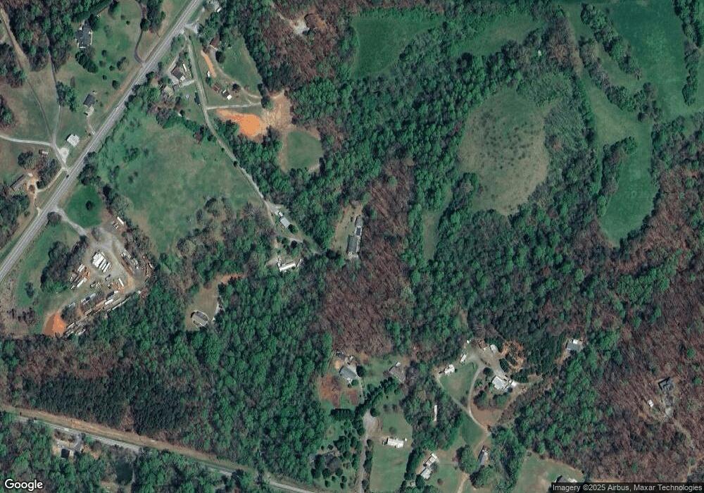
Map
Nearby Homes
- 600 Chapman Ridge Ln
- 500 Chapman Ridge Ln
- 27.68 Chapman Ridge Ln
- 100 Rocky Branch Dr
- 6480 Highway 52 W
- 23.86 Acres Mincie Mountain
- 20.65 Acres Mincie Mountain
- 42.65 Acres Mincie Mountain
- 12 Katydid Ln
- 86.99 Acres Mincie Mountain
- 3.65 Ac Emory Stephens Rd
- 3.65AC Emory Stephens Rd
- 380 Copper Mill Rd
- 6.2 Mincey Acres Dr
- 128 Young Deer Dr
- 0 Roseberry Ln
- 175 Sam Brown Rd
- 79 Meadow Ridge Ln
- 0 Sam Brown Rd
- 192 Sam Brown Rd
- 86 Jewells Mountain Way
- 60 Meadow Ridge Ln
- 0 Meadow Ridge Ln Unit 8112348
- 0 Meadow Ridge Ln Unit 3257733
- 7045 Highway 52 E
- 79 Colonel Stringer Rd
- 404 Cleveland Hwy
- 80 Colonel Stringer Rd
- 206 Colonel Stringer Rd
- 450 Cleveland Hwy
- 256 Cleveland Hwy
- 7147 Highway 52 E
- 7147 Highway 52 E Unit 7147
- 28 Colonel Stringer Rd
- 327 Cleveland Hwy
- 99 Sagebrook Dr