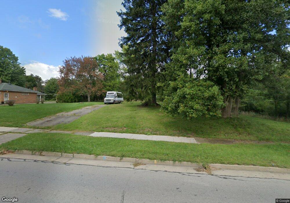
2730 McGuffey Rd Youngstown, OH 44505
McGuffey Heights NeighborhoodEstimated Value: $162,000
2
Beds
1
Bath
1,170
Sq Ft
$138/Sq Ft
Est. Value
About This Home
This home is located at 2730 McGuffey Rd, Youngstown, OH 44505 and is currently estimated at $162,000, approximately $138 per square foot. 2730 McGuffey Rd is a home located in Mahoning County with nearby schools including M.L. King Elementary School, Williamson Elementary School, and East High School.
Ownership History
Date
Name
Owned For
Owner Type
Purchase Details
Closed on
Nov 28, 2009
Sold by
Hunter James and Hunter Tabitha
Bought by
Whitman Ii Phillip
Current Estimated Value
Purchase Details
Closed on
Feb 19, 2009
Sold by
Hunter James and Hunter Tabitha
Bought by
Phillips Timothy
Home Financials for this Owner
Home Financials are based on the most recent Mortgage that was taken out on this home.
Original Mortgage
$600
Interest Rate
5.06%
Mortgage Type
Seller Take Back
Purchase Details
Closed on
Jan 1, 1990
Bought by
Johnson Alton
Create a Home Valuation Report for This Property
The Home Valuation Report is an in-depth analysis detailing your home's value as well as a comparison with similar homes in the area
Home Values in the Area
Average Home Value in this Area
Purchase History
| Date | Buyer | Sale Price | Title Company |
|---|---|---|---|
| Whitman Ii Phillip | $1,300 | None Available | |
| Phillips Timothy | $1,300 | None Available | |
| Johnson Alton | -- | -- |
Source: Public Records
Mortgage History
| Date | Status | Borrower | Loan Amount |
|---|---|---|---|
| Previous Owner | Phillips Timothy | $600 |
Source: Public Records
Tax History Compared to Growth
Tax History
| Year | Tax Paid | Tax Assessment Tax Assessment Total Assessment is a certain percentage of the fair market value that is determined by local assessors to be the total taxable value of land and additions on the property. | Land | Improvement |
|---|---|---|---|---|
| 2024 | $7 | $140 | $140 | -- |
| 2023 | $7 | $140 | $140 | $0 |
| 2022 | $8 | $120 | $120 | $0 |
| 2021 | $8 | $120 | $120 | $0 |
| 2020 | $169 | $2,630 | $400 | $2,230 |
| 2019 | $178 | $2,440 | $370 | $2,070 |
| 2018 | $194 | $2,440 | $370 | $2,070 |
| 2017 | $172 | $2,440 | $370 | $2,070 |
| 2016 | $168 | $2,560 | $370 | $2,190 |
| 2015 | $164 | $2,560 | $370 | $2,190 |
| 2014 | $171 | $2,560 | $370 | $2,190 |
| 2013 | $161 | $2,560 | $370 | $2,190 |
Source: Public Records
Map
Nearby Homes
- 1003 Liberty Rd
- 1214 Brighton St
- 1720 Jacobs Rd
- 1325 Miami Ave
- 902 Miami St
- 2051 Blair Ave
- 405 Drake Ave
- V/L Jacobs Rd
- 227 Greeley Ln
- 566 Sunshine Ave
- 1538 Republic Ave
- 2951 Megan Cir
- 2831 Benford Ln
- 2954 Megan Cir
- 332 Lansdowne Blvd
- 71 Duncan Ln
- 598 Cassius Ave
- 1125 N Garland Ave
- OL 38 Mccartney Rd
- 0 Homestead Rd
- 2722 McGuffey Rd
- 2747 McGuffey Rd
- 2706 McGuffey Rd
- 2741 McGuffey Rd
- 2709 McGuffey Rd
- 2725 McGuffey Rd
- 1112 Allen Rd
- 2675 McGuffey Rd
- 2674 McGuffey Rd
- 2776 Baker St
- 2661 McGuffey Rd
- 2810 McGuffey Rd
- 1040 Bryn Mawr Ave
- 2645 McGuffey Rd
- 2811 McGuffey Rd
- 1049 Bryn Mawr Ave
- 2644 McGuffey Rd
- 2829 Baker St
- 3818 Baker St
- 1041 Bryn Mawr Ave