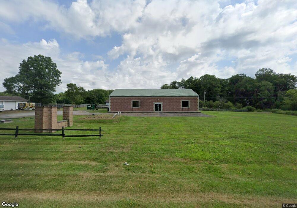
2730 State Route 14 Rootstown, OH 44272
Estimated Value: $116,280
Studio
--
Bath
4,000
Sq Ft
$29/Sq Ft
Est. Value
About This Home
This home is located at 2730 State Route 14, Rootstown, OH 44272 and is currently estimated at $116,280, approximately $29 per square foot. 2730 State Route 14 is a home located in Portage County with nearby schools including Southeast High School.
Ownership History
Date
Name
Owned For
Owner Type
Purchase Details
Closed on
Dec 1, 2025
Sold by
Harris Laura L and Harris Richard Paul
Bought by
Rt43 Llc
Current Estimated Value
Purchase Details
Closed on
Nov 24, 2025
Sold by
Maddox Mark A and Maddox Rachael M
Bought by
Miller Arlene O and Miller Marvin
Purchase Details
Closed on
Feb 19, 2015
Sold by
Wood Joshua M and Wood Sara Lynn
Bought by
Harris Laura L
Purchase Details
Closed on
Oct 8, 2003
Sold by
John Carl Inc
Bought by
Wood Joshua M
Purchase Details
Closed on
May 8, 2003
Sold by
Dickey White Linda
Bought by
John Carl Inc
Create a Home Valuation Report for This Property
The Home Valuation Report is an in-depth analysis detailing your home's value as well as a comparison with similar homes in the area
Purchase History
| Date | Buyer | Sale Price | Title Company |
|---|---|---|---|
| Rt43 Llc | $200,000 | None Listed On Document | |
| Miller Arlene O | $127,300 | None Listed On Document | |
| Harris Laura L | $59,575 | None Available | |
| Wood Joshua M | $33,000 | Portage Lawyers Title | |
| John Carl Inc | $8,800 | Portage Lawyers Title |
Source: Public Records
Tax History
| Year | Tax Paid | Tax Assessment Tax Assessment Total Assessment is a certain percentage of the fair market value that is determined by local assessors to be the total taxable value of land and additions on the property. | Land | Improvement |
|---|---|---|---|---|
| 2025 | $2,700 | $59,820 | $11,660 | $48,160 |
| 2024 | $2,661 | $59,820 | $11,660 | $48,160 |
| 2023 | $2,486 | $49,990 | $10,050 | $39,940 |
| 2022 | $2,578 | $49,990 | $10,050 | $39,940 |
| 2021 | $2,607 | $49,990 | $10,050 | $39,940 |
| 2020 | $2,600 | $49,990 | $10,050 | $39,940 |
| 2019 | $2,606 | $49,990 | $10,050 | $39,940 |
| 2018 | $3,072 | $57,440 | $9,770 | $47,670 |
| 2017 | $3,072 | $57,440 | $9,770 | $47,670 |
| 2016 | $3,051 | $57,440 | $9,770 | $47,670 |
| 2015 | $2,939 | $57,440 | $9,770 | $47,670 |
| 2014 | $2,979 | $57,440 | $9,770 | $47,670 |
| 2013 | $2,916 | $57,440 | $9,770 | $47,670 |
Source: Public Records
Map
Nearby Homes
- 2434 Taft Ave
- 0 Yale Rd Unit 5190725
- 3545 Porter Rd
- 941 Porter Rd
- 8464 & 8446 Tallmadge Rd
- 3207 Prairie Cir
- 2639 Ohio 183
- 8492 & 8476 Tallmadge Rd
- 00 Ohio 14
- 6747 Giddings Rd
- 3609 State Route 225
- 1731 Ohio 225
- 3798 State Route 183
- 700 Stillwater Dr
- 0 Ohio 225 Unit 5174573
- 4133 State Route 225
- 0 Wayland Rd Unit 5191883
- 1071 State Route 14
- 0 Waterloo Rd Unit 5191339
- 9865 Tallmadge Rd
- 2759 Alliance Rd
- V/L 9 Yale Rd
- V/L 24 Yale Rd
- V/L 23 Yale Rd
- V/L 20 Yale Rd
- V/L 19 Yale Rd
- V/L 17 Yale Rd
- V/L 16 Yale Rd
- V/L 15 Yale Rd
- V/L 13 Yale Rd
- V/L 11 Yale Rd
- V/L 10 Yale Rd
- 2750 State Route 14
- 2642 Alliance Rd
- 2688 Alliance Rd
- 8160 Yale Rd
- Yale Rd
- 2771 State Route 14
- 2689 Alliance Rd
- 8172 Yale Rd
Your Personal Tour Guide
Ask me questions while you tour the home.