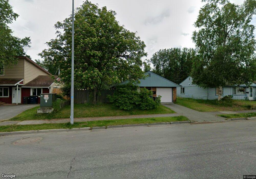
2736 E 20th Ave Anchorage, AK 99508
Airport Heights NeighborhoodEstimated Value: $218,000 - $379,444
3
Beds
1
Bath
988
Sq Ft
$314/Sq Ft
Est. Value
About This Home
This home is located at 2736 E 20th Ave, Anchorage, AK 99508 and is currently estimated at $310,611, approximately $314 per square foot. 2736 E 20th Ave is a home located in Anchorage Municipality with nearby schools including Airport Heights Elementary School, Wendler Middle School, and Bettye Davis East Anchorage High School.
Ownership History
Date
Name
Owned For
Owner Type
Purchase Details
Closed on
Jul 2, 2013
Sold by
Condy Sylvia R
Bought by
Condy Sylvia R and Condy Family 2013 Trust
Current Estimated Value
Purchase Details
Closed on
May 9, 2003
Sold by
Beckhart Robert A and Beckhart Gayle
Bought by
Condy Sylvia R
Home Financials for this Owner
Home Financials are based on the most recent Mortgage that was taken out on this home.
Original Mortgage
$138,700
Outstanding Balance
$59,930
Interest Rate
5.71%
Estimated Equity
$250,681
Purchase Details
Closed on
Dec 20, 1996
Sold by
Secretary Department Of Housing And Urba
Bought by
Beckhart Robert A
Home Financials for this Owner
Home Financials are based on the most recent Mortgage that was taken out on this home.
Original Mortgage
$89,760
Interest Rate
7.67%
Mortgage Type
VA
Create a Home Valuation Report for This Property
The Home Valuation Report is an in-depth analysis detailing your home's value as well as a comparison with similar homes in the area
Home Values in the Area
Average Home Value in this Area
Purchase History
| Date | Buyer | Sale Price | Title Company |
|---|---|---|---|
| Condy Sylvia R | -- | None Available | |
| Condy Sylvia R | -- | -- | |
| Beckhart Robert A | -- | -- |
Source: Public Records
Mortgage History
| Date | Status | Borrower | Loan Amount |
|---|---|---|---|
| Open | Condy Sylvia R | $138,700 | |
| Previous Owner | Beckhart Robert A | $89,760 |
Source: Public Records
Tax History
| Year | Tax Paid | Tax Assessment Tax Assessment Total Assessment is a certain percentage of the fair market value that is determined by local assessors to be the total taxable value of land and additions on the property. | Land | Improvement |
|---|---|---|---|---|
| 2025 | $2,097 | $375,400 | $110,500 | $264,900 |
| 2024 | $2,097 | $354,900 | $110,500 | $244,400 |
| 2023 | $5,468 | $321,100 | $110,500 | $210,600 |
| 2022 | $2,080 | $323,500 | $110,500 | $213,000 |
| 2021 | $5,253 | $291,500 | $110,500 | $181,000 |
| 2020 | $1,563 | $293,100 | $110,500 | $182,600 |
| 2019 | $1,472 | $290,000 | $110,500 | $179,500 |
| 2018 | $1,588 | $296,800 | $110,500 | $186,300 |
| 2017 | $1,934 | $293,500 | $110,500 | $183,000 |
| 2016 | $525 | $282,700 | $93,000 | $189,700 |
| 2015 | $525 | $276,300 | $93,000 | $183,300 |
| 2014 | $525 | $269,100 | $86,000 | $183,100 |
Source: Public Records
Map
Nearby Homes
- 1703 Alder Dr
- 1701 Aleutian St
- 000 Tr A Thurston
- 2089 Cliffside Dr Unit 29B-6
- 3215 E 18th Cir
- 2601 Darby Cir
- 2007 Parkview Cir
- 1913 Parkview Cir
- 1620 Eastridge Dr Unit 203
- 1625 Sitka St Unit 103
- 3514 E 19th Ave
- 1524 Rosemary St
- 3401 E 15th Ave
- 1536 Valarian St
- 3714 E 17th Ave
- 2518 Crestwood St
- 3958 Reka Dr Unit A1
- 1715 Katrina Cir
- 1403 Nelchina St
- 4358 Reka Dr Unit 4358
- 2728 E 20th Ave
- 2744 E 20th Ave
- 2718 E 20th Ave
- 2018 Alder Dr
- 2754 E 20th Ave
- 2026 Alder Dr
- 2710 E 20th Ave
- 2000 Alder Dr
- 2727 E 20th Ave
- 2747 E 20th Ave
- 2704 E 20th Ave
- 2100 Alder Dr
- 2705 E 20th Ave
- 1922 Kuskokwim St
- 1923 Kuskokwim St
- 2001 Alder Dr
- 2017 Alder Dr
- 2110 Alder Dr
- 2763 E 20th Ave
- 2636 E 20th Ave
Your Personal Tour Guide
Ask me questions while you tour the home.