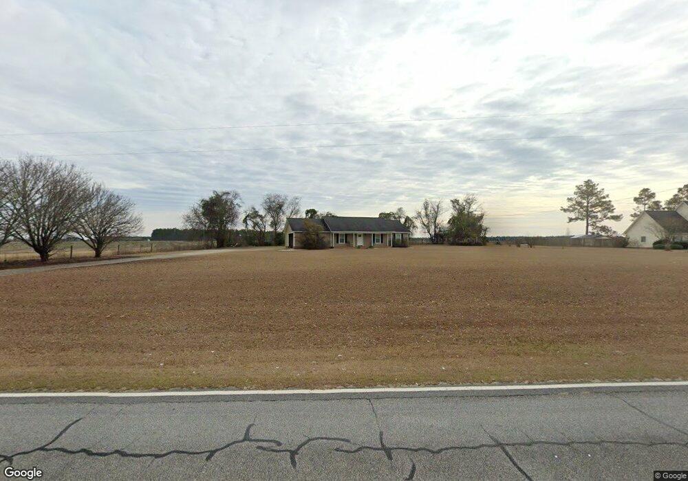
2736 Newton Rd Bainbridge, GA 39817
Estimated Value: $187,000 - $230,000
3
Beds
2
Baths
1,316
Sq Ft
$155/Sq Ft
Est. Value
About This Home
This home is located at 2736 Newton Rd, Bainbridge, GA 39817 and is currently estimated at $203,823, approximately $154 per square foot. 2736 Newton Rd is a home located in Decatur County with nearby schools including Bainbridge High School.
Ownership History
Date
Name
Owned For
Owner Type
Purchase Details
Closed on
Aug 17, 2010
Sold by
Miller Parker D and Miller India T
Bought by
Robinson Lashawn
Current Estimated Value
Home Financials for this Owner
Home Financials are based on the most recent Mortgage that was taken out on this home.
Original Mortgage
$108,675
Outstanding Balance
$72,062
Interest Rate
4.6%
Mortgage Type
New Conventional
Estimated Equity
$131,761
Purchase Details
Closed on
Feb 18, 2010
Sold by
Secretary Of Housing & Urban Development
Bought by
Miller Parker D and Miller India T
Purchase Details
Closed on
Jul 7, 2009
Sold by
Chase Home Finance Llc
Bought by
Secretary Of Housing & Urban Development
Purchase Details
Closed on
Dec 20, 2006
Sold by
Hogan William B
Bought by
Roberts Kenneth Randall
Purchase Details
Closed on
Dec 11, 2006
Sold by
Johnson Martha D
Bought by
Hogan William B
Create a Home Valuation Report for This Property
The Home Valuation Report is an in-depth analysis detailing your home's value as well as a comparison with similar homes in the area
Home Values in the Area
Average Home Value in this Area
Purchase History
| Date | Buyer | Sale Price | Title Company |
|---|---|---|---|
| Robinson Lashawn | $105,000 | -- | |
| Miller Parker D | $56,596 | -- | |
| Miller India T | $60,006 | -- | |
| Secretary Of Housing & Urban Development | $110,664 | -- | |
| Chase Home Finance Llc | $116,915 | -- | |
| Roberts Kenneth Randall | $73,000 | -- | |
| Hogan William B | $68,000 | -- |
Source: Public Records
Mortgage History
| Date | Status | Borrower | Loan Amount |
|---|---|---|---|
| Open | Robinson Lashawn | $108,675 |
Source: Public Records
Tax History Compared to Growth
Tax History
| Year | Tax Paid | Tax Assessment Tax Assessment Total Assessment is a certain percentage of the fair market value that is determined by local assessors to be the total taxable value of land and additions on the property. | Land | Improvement |
|---|---|---|---|---|
| 2024 | $1,497 | $51,715 | $2,980 | $48,735 |
| 2023 | $1,074 | $51,715 | $2,980 | $48,735 |
| 2022 | $1,350 | $48,396 | $2,300 | $46,096 |
| 2021 | $1,268 | $44,756 | $2,000 | $42,756 |
| 2020 | $1,154 | $38,932 | $2,000 | $36,932 |
| 2019 | $1,144 | $37,283 | $2,000 | $35,283 |
| 2018 | $1,130 | $37,283 | $2,000 | $35,283 |
| 2017 | $1,170 | $37,283 | $2,000 | $35,283 |
| 2016 | $1,108 | $37,326 | $2,043 | $35,283 |
| 2015 | $1,124 | $37,326 | $2,043 | $35,283 |
| 2014 | $1,036 | $37,326 | $2,043 | $35,283 |
| 2013 | -- | $37,325 | $2,042 | $35,282 |
Source: Public Records
Map
Nearby Homes
- 0 Newton Rd
- 533 Flint River Heights Rd
- 217 Martin Rd
- 757 Manhole Rd
- 00 Manhole Rd
- 638 Pinehill Rd
- 2137 Pondtown Rd
- 116 Flint River Heights Rd
- 160 Manhole Rd
- 104 Brock St
- Tract 1 Rivervale Dr
- 150 Rivervale Dr
- 547 Eddie Avery Rd
- 114 Pr Harrell Rd
- 0 Eddie Avery Rd Unit 14399
- 116 Rivervale Dr
- 0 Pine St Unit 10993
- 0 Johnny Freeman Rd
- 149 County Line Church Rd
- 2036 Lexington Ave