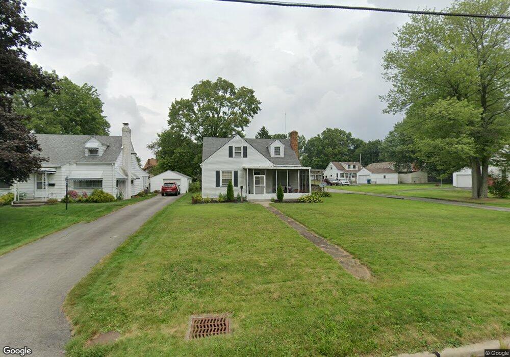
274 Afton Ave Youngstown, OH 44512
Estimated Value: $125,000 - $174,000
4
Beds
1
Bath
1,278
Sq Ft
$114/Sq Ft
Est. Value
About This Home
This home is located at 274 Afton Ave, Youngstown, OH 44512 and is currently estimated at $145,958, approximately $114 per square foot. 274 Afton Ave is a home located in Mahoning County with nearby schools including Boardman Glenwood Junior High School, Boardman High School, and Horizon Science Academy - Youngstown.
Ownership History
Date
Name
Owned For
Owner Type
Purchase Details
Closed on
Jul 13, 2004
Sold by
Remick Robert S
Bought by
Nicholson Michael
Current Estimated Value
Purchase Details
Closed on
Jul 20, 2001
Sold by
Meadows Myron J and Meadows Margaret K
Bought by
Remick Robert S and Remick Valerie C
Home Financials for this Owner
Home Financials are based on the most recent Mortgage that was taken out on this home.
Original Mortgage
$69,700
Interest Rate
10.75%
Purchase Details
Closed on
Nov 30, 1976
Bought by
Meadows Myron J and Meadows Mgt
Create a Home Valuation Report for This Property
The Home Valuation Report is an in-depth analysis detailing your home's value as well as a comparison with similar homes in the area
Home Values in the Area
Average Home Value in this Area
Purchase History
| Date | Buyer | Sale Price | Title Company |
|---|---|---|---|
| Nicholson Michael | $56,300 | -- | |
| Remick Robert S | $70,000 | -- | |
| Meadows Myron J | -- | -- |
Source: Public Records
Mortgage History
| Date | Status | Borrower | Loan Amount |
|---|---|---|---|
| Previous Owner | Remick Robert S | $69,700 |
Source: Public Records
Tax History Compared to Growth
Tax History
| Year | Tax Paid | Tax Assessment Tax Assessment Total Assessment is a certain percentage of the fair market value that is determined by local assessors to be the total taxable value of land and additions on the property. | Land | Improvement |
|---|---|---|---|---|
| 2024 | $1,944 | $36,960 | $5,050 | $31,910 |
| 2023 | $1,919 | $36,960 | $5,050 | $31,910 |
| 2022 | $1,489 | $21,770 | $4,670 | $17,100 |
| 2021 | $1,490 | $21,770 | $4,670 | $17,100 |
| 2020 | $1,498 | $21,770 | $4,670 | $17,100 |
| 2019 | $1,471 | $18,610 | $3,990 | $14,620 |
| 2018 | $1,244 | $18,610 | $3,990 | $14,620 |
| 2017 | $1,250 | $18,610 | $3,990 | $14,620 |
| 2016 | $1,274 | $19,160 | $4,700 | $14,460 |
| 2015 | $1,363 | $20,920 | $4,700 | $16,220 |
| 2014 | $1,367 | $20,920 | $4,700 | $16,220 |
| 2013 | $1,351 | $20,920 | $4,700 | $16,220 |
Source: Public Records
Map
Nearby Homes
- 329 Afton Ave
- 167 Afton Ave
- 0 Indianola Rd
- 149 Argyle Ave
- 0 Mathews Rd Unit 5038026
- 127 Melrose Ave
- 0 Cranberry Ln Unit 5170595
- 429 Tudor Ln
- 175 Homestead Dr
- 4715 Euclid Blvd
- 424 Mathews Rd
- 81 Melrose Ave
- 6001 Applecrest Dr
- 197 Mathews Rd Unit B
- 767 Indianola Rd
- 148 Clifton Dr
- 44 Gertrude Ave
- 4552 New England Blvd
- 732 Forest Ridge Dr
- 796 Edenridge Dr