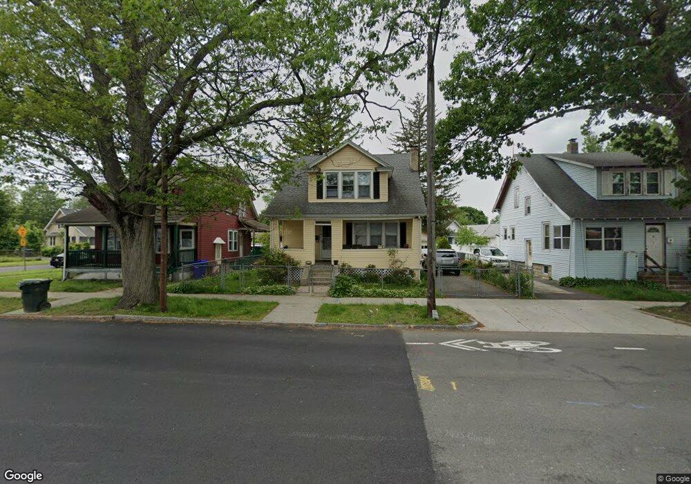
274 Berkshire Ave Springfield, MA 01109
Pine Point NeighborhoodEstimated Value: $234,480 - $244,000
3
Beds
1
Bath
1,267
Sq Ft
$188/Sq Ft
Est. Value
About This Home
This home is located at 274 Berkshire Ave, Springfield, MA 01109 and is currently estimated at $238,120, approximately $187 per square foot. 274 Berkshire Ave is a home located in Hampden County with nearby schools including Hiram L. Dorman Elementary, John F. Kennedy Academy, and Springfield Central High School.
Ownership History
Date
Name
Owned For
Owner Type
Purchase Details
Closed on
Apr 18, 1989
Sold by
Lopez Carmelo O
Bought by
Rua Roberto
Current Estimated Value
Home Financials for this Owner
Home Financials are based on the most recent Mortgage that was taken out on this home.
Original Mortgage
$68,000
Interest Rate
10.85%
Mortgage Type
Purchase Money Mortgage
Create a Home Valuation Report for This Property
The Home Valuation Report is an in-depth analysis detailing your home's value as well as a comparison with similar homes in the area
Home Values in the Area
Average Home Value in this Area
Purchase History
| Date | Buyer | Sale Price | Title Company |
|---|---|---|---|
| Rua Roberto | $75,000 | -- |
Source: Public Records
Mortgage History
| Date | Status | Borrower | Loan Amount |
|---|---|---|---|
| Open | Rua Roberto | $58,000 | |
| Closed | Rua Roberto | $68,000 | |
| Previous Owner | Rua Roberto | $51,000 | |
| Previous Owner | Rua Roberto | $10,400 |
Source: Public Records
Tax History Compared to Growth
Tax History
| Year | Tax Paid | Tax Assessment Tax Assessment Total Assessment is a certain percentage of the fair market value that is determined by local assessors to be the total taxable value of land and additions on the property. | Land | Improvement |
|---|---|---|---|---|
| 2025 | $2,382 | $151,900 | $39,000 | $112,900 |
| 2024 | $2,287 | $142,400 | $32,500 | $109,900 |
| 2023 | $2,278 | $133,600 | $29,500 | $104,100 |
| 2022 | $2,358 | $125,300 | $27,600 | $97,700 |
| 2021 | $2,378 | $125,800 | $25,100 | $100,700 |
| 2020 | $2,351 | $120,400 | $25,100 | $95,300 |
| 2019 | $2,118 | $107,600 | $25,100 | $82,500 |
| 2018 | $2,057 | $104,500 | $25,100 | $79,400 |
| 2017 | $1,911 | $97,200 | $23,200 | $74,000 |
| 2016 | $1,663 | $84,600 | $23,200 | $61,400 |
| 2015 | $1,711 | $87,000 | $23,200 | $63,800 |
Source: Public Records
Map
Nearby Homes
- 278 Berkshire Ave
- 25 Berbay Cir
- 284 Berkshire Ave
- 29 Berbay Cir
- 290 Berkshire Ave
- 33 Berbay Cir
- 258 Berkshire Ave Unit 260
- 4 Berbay Cir
- 1459 Bay St
- 294 Berkshire Ave
- 18 Berbay Cir
- 24 Berbay Cir
- 14 Berbay Cir
- 252 Berkshire Ave
- 35 Berbay Cir
- 28 Berbay Cir
- 1455 Bay St
- 32 Berbay Cir
- 1451 Bay St
- 38 Berbay Cir