274 Bluff Dr Columbus, MS 39701
Estimated Value: $298,000 - $361,000
Studio
--
Bath
2,875
Sq Ft
$117/Sq Ft
Est. Value
About This Home
This home is located at 274 Bluff Dr, Columbus, MS 39701 and is currently estimated at $335,168, approximately $116 per square foot. 274 Bluff Dr is a home.
Ownership History
Date
Name
Owned For
Owner Type
Purchase Details
Closed on
Jun 26, 2023
Sold by
Mccain Lawrence Margaret and Warren Steven
Bought by
Gierucki Brittany Marie
Current Estimated Value
Home Financials for this Owner
Home Financials are based on the most recent Mortgage that was taken out on this home.
Original Mortgage
$300,000
Outstanding Balance
$291,597
Interest Rate
6.35%
Mortgage Type
VA
Estimated Equity
$43,571
Purchase Details
Closed on
Aug 9, 2017
Sold by
Younger Charles A and Lucas Raymond Perry
Bought by
Lawrence Margaret Mccain and Lawrence Steven Warren
Purchase Details
Closed on
Oct 1, 2008
Sold by
Smith Thomas D
Bought by
Brignac Matthew
Create a Home Valuation Report for This Property
The Home Valuation Report is an in-depth analysis detailing your home's value as well as a comparison with similar homes in the area
Purchase History
| Date | Buyer | Sale Price | Title Company |
|---|---|---|---|
| Gierucki Brittany Marie | -- | None Listed On Document | |
| Lawrence Margaret Mccain | -- | None Available | |
| Brignac Matthew | -- | -- | |
| Brignac Matthew | -- | -- |
Source: Public Records
Mortgage History
| Date | Status | Borrower | Loan Amount |
|---|---|---|---|
| Open | Gierucki Brittany Marie | $300,000 |
Source: Public Records
Tax History
| Year | Tax Paid | Tax Assessment Tax Assessment Total Assessment is a certain percentage of the fair market value that is determined by local assessors to be the total taxable value of land and additions on the property. | Land | Improvement |
|---|---|---|---|---|
| 2025 | $0 | $17,563 | $0 | $0 |
| 2024 | $2,130 | $17,563 | $0 | $0 |
| 2023 | $2,130 | $22,426 | $0 | $0 |
| 2022 | $2,132 | $22,426 | $0 | $0 |
| 2021 | $2,052 | $22,426 | $0 | $0 |
| 2020 | $1,937 | $22,426 | $0 | $0 |
| 2019 | $2,060 | $22,378 | $0 | $0 |
| 2018 | $2,060 | $23,128 | $0 | $0 |
| 2017 | $1,968 | $23,128 | $0 | $0 |
| 2016 | $1,968 | $23,128 | $0 | $0 |
| 2015 | $1,061 | $16,003 | $0 | $0 |
| 2014 | $1,061 | $16,003 | $0 | $0 |
Source: Public Records
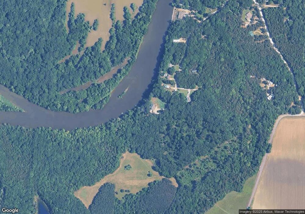
Map
Nearby Homes
- 150 Stoneridge Walk
- 3267 Old West Point Rd
- 4132 N Frontage Rd
- 49 Billy Casper Dr
- 0 Golden Horn Rd
- 30 Prairie Waters Dr
- 320 Crosby Ln
- 1291 S Frontage Rd
- 118 Crosby Ln
- 23 Breezeway Cove
- 100 Breezeway Cove
- 112 Breezeway Cove
- 96 Breezeway Cove
- 110 Breezeway Cove
- 820 Prairie Waters Dr
- 0 S Frontage Road Lot #5 Unit 25-583
- 0 S Frontage Road Lot #3 Unit 25-581
- 0 S Frontage Road Lot #1 Unit 25-579
- Lot 1 Old Waverly Rd
- Lot 17 Old Waverly Rd
Your Personal Tour Guide
Ask me questions while you tour the home.