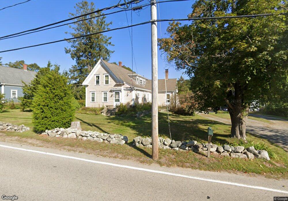
274 Clapp Rd Scituate, MA 02066
Estimated Value: $934,020 - $1,383,000
4
Beds
2
Baths
2,477
Sq Ft
$441/Sq Ft
Est. Value
About This Home
This home is located at 274 Clapp Rd, Scituate, MA 02066 and is currently estimated at $1,093,505, approximately $441 per square foot. 274 Clapp Rd is a home located in Plymouth County with nearby schools including Hatherly Elementary School, Lester J. Gates Middle School, and Scituate High School.
Ownership History
Date
Name
Owned For
Owner Type
Purchase Details
Closed on
Jun 27, 1994
Sold by
Est Bates Esther and Sargent Kenneth
Bought by
Bartlett Robert C and Bartlett Nancy R
Current Estimated Value
Home Financials for this Owner
Home Financials are based on the most recent Mortgage that was taken out on this home.
Original Mortgage
$104,806
Interest Rate
8.74%
Mortgage Type
Purchase Money Mortgage
Create a Home Valuation Report for This Property
The Home Valuation Report is an in-depth analysis detailing your home's value as well as a comparison with similar homes in the area
Home Values in the Area
Average Home Value in this Area
Purchase History
| Date | Buyer | Sale Price | Title Company |
|---|---|---|---|
| Bartlett Robert C | $105,000 | -- |
Source: Public Records
Mortgage History
| Date | Status | Borrower | Loan Amount |
|---|---|---|---|
| Open | Bartlett Robert C | $85,000 | |
| Closed | Bartlett Robert C | $101,400 | |
| Closed | Bartlett Robert C | $104,806 |
Source: Public Records
Tax History Compared to Growth
Tax History
| Year | Tax Paid | Tax Assessment Tax Assessment Total Assessment is a certain percentage of the fair market value that is determined by local assessors to be the total taxable value of land and additions on the property. | Land | Improvement |
|---|---|---|---|---|
| 2025 | $7,848 | $785,600 | $413,400 | $372,200 |
| 2024 | $7,674 | $740,700 | $375,800 | $364,900 |
| 2023 | $5,736 | $515,300 | $343,300 | $172,000 |
| 2022 | $5,736 | $454,500 | $301,200 | $153,300 |
| 2021 | $5,664 | $424,900 | $286,800 | $138,100 |
| 2020 | $5,590 | $414,100 | $275,800 | $138,300 |
| 2019 | $5,599 | $407,500 | $270,400 | $137,100 |
| 2018 | $6,063 | $434,600 | $290,900 | $143,700 |
| 2017 | $5,673 | $402,600 | $264,400 | $138,200 |
| 2016 | $5,437 | $384,500 | $251,200 | $133,300 |
| 2015 | $4,864 | $371,300 | $238,000 | $133,300 |
Source: Public Records
Map
Nearby Homes
- 449 Clapp Rd
- 455 Clapp Rd
- 453 Clapp Rd
- 451 Clapp Rd
- 453 - 455 Clapp Rd
- 0 Bates Ln (Lot E Kevin's Way) Unit 73419598
- 342 Summer St
- 94 Arrowwood Dr
- 334 Summer St
- 508 Beechwood St
- 8 Trudys Ln
- 84 Booth Hill Rd
- 9 Kyle Path
- 99 Doane St
- 11 Forest Ln
- 9 Forest Ln Unit 9
- 40 Brewster Rd
- 575 First Parish Rd
- 0 Mount Blue St
- 0 Mt Blue Unit 73374335