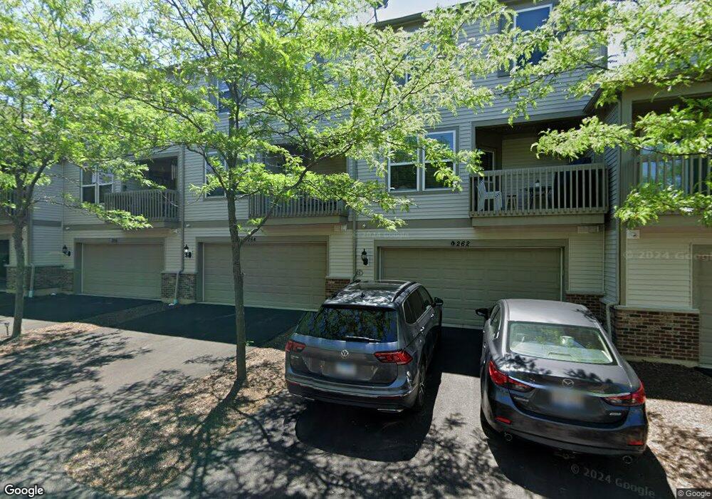
274 Devoe Dr Unit 193 Oswego, IL 60543
North Oswego NeighborhoodEstimated Value: $325,996 - $337,000
3
Beds
3
Baths
1,980
Sq Ft
$168/Sq Ft
Est. Value
About This Home
This home is located at 274 Devoe Dr Unit 193, Oswego, IL 60543 and is currently estimated at $331,749, approximately $167 per square foot. 274 Devoe Dr Unit 193 is a home located in Kendall County with nearby schools including Southbury Elementary School, Murphy Junior High School, and Oswego East High School.
Ownership History
Date
Name
Owned For
Owner Type
Purchase Details
Closed on
Aug 17, 2011
Sold by
Pulte Home Corporation
Bought by
Defronzo John Charles and Defronzo Jennifer Marie
Current Estimated Value
Home Financials for this Owner
Home Financials are based on the most recent Mortgage that was taken out on this home.
Original Mortgage
$148,159
Outstanding Balance
$102,488
Interest Rate
4.55%
Mortgage Type
New Conventional
Estimated Equity
$229,261
Create a Home Valuation Report for This Property
The Home Valuation Report is an in-depth analysis detailing your home's value as well as a comparison with similar homes in the area
Home Values in the Area
Average Home Value in this Area
Purchase History
| Date | Buyer | Sale Price | Title Company |
|---|---|---|---|
| Defronzo John Charles | $174,500 | None Available |
Source: Public Records
Mortgage History
| Date | Status | Borrower | Loan Amount |
|---|---|---|---|
| Open | Defronzo John Charles | $148,159 |
Source: Public Records
Tax History
| Year | Tax Paid | Tax Assessment Tax Assessment Total Assessment is a certain percentage of the fair market value that is determined by local assessors to be the total taxable value of land and additions on the property. | Land | Improvement |
|---|---|---|---|---|
| 2024 | $6,768 | $90,097 | $10,446 | $79,651 |
| 2023 | $6,004 | $79,732 | $9,244 | $70,488 |
| 2022 | $6,004 | $72,484 | $8,404 | $64,080 |
| 2021 | $6,023 | $70,373 | $8,159 | $62,214 |
| 2020 | $5,952 | $68,993 | $7,999 | $60,994 |
| 2019 | $5,989 | $68,390 | $7,999 | $60,391 |
| 2018 | $5,816 | $66,069 | $8,944 | $57,125 |
| 2017 | $5,627 | $60,893 | $8,243 | $52,650 |
| 2016 | $5,240 | $56,382 | $7,632 | $48,750 |
| 2015 | $2,520 | $52,206 | $7,067 | $45,139 |
| 2014 | -- | $53,821 | $7,286 | $46,535 |
| 2013 | -- | $56,653 | $7,669 | $48,984 |
Source: Public Records
Map
Nearby Homes
- 240 Devoe Dr
- 608 Hawley Dr Unit 4342
- 464 Valentine Way
- 460 Valentine Way
- 3017 Lundquist Dr
- 605 Murdock Place
- 241 Cooney Way
- 353 Danforth Dr
- 234 Cooney Way
- 393 Danforth Dr
- 601 Murdock Place
- 391 Danforth Dr
- 602 Murdock Place
- 347 Danforth Dr
- 339 Danforth Dr
- 2322 Pagosa Springs Dr
- 115 Henderson St
- 2811 Imperial Valley Trail
- 379 Danforth Dr
- 377 Danforth Dr
- 276 Devoe Dr
- 276 Devoe Dr Unit 194
- 272 Devoe Dr
- 270 Devoe Dr
- 278 Devoe Dr Unit 195
- 284 Devoe Dr
- 282 Devoe Dr
- 282 Devoe Dr Unit 204
- 288 Devoe Dr Unit 201
- 288 Devoe Dr
- 280 Devoe Dr
- 280 Devoe Dr Unit 205
- 262 Devoe Dr Unit 184
- 262 Devoe Dr
- 264 Devoe Dr
- 266 Devoe Dr
- 266 Devoe Dr Unit 266
- 268 Devoe Dr Unit 181
- 260 Devoe Dr
Your Personal Tour Guide
Ask me questions while you tour the home.