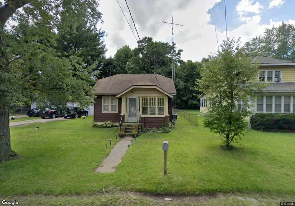
274 Eastern Ave Benton Harbor, MI 49022
Fair Plain NeighborhoodEstimated Value: $161,000 - $171,000
2
Beds
1
Bath
1,040
Sq Ft
$161/Sq Ft
Est. Value
About This Home
This home is located at 274 Eastern Ave, Benton Harbor, MI 49022 and is currently estimated at $166,952, approximately $160 per square foot. 274 Eastern Ave is a home located in Berrien County with nearby schools including Fair Plain Middle School, Benton Harbor High School, and Benton Harbor Charter School Academy.
Ownership History
Date
Name
Owned For
Owner Type
Purchase Details
Closed on
Jan 6, 2010
Sold by
Anderson Anthony J and Anderson Faith L
Bought by
Family Circle Properties Llc
Current Estimated Value
Purchase Details
Closed on
Nov 14, 2007
Sold by
Deutsche Bank National Trust Co
Bought by
Chase Home Finance
Purchase Details
Closed on
Apr 19, 2007
Sold by
Turner Sheila and Johnson Leeroy
Bought by
Deutsche Bank National Trust Co and Bankers Trust Co Of California Na
Purchase Details
Closed on
Feb 6, 1998
Create a Home Valuation Report for This Property
The Home Valuation Report is an in-depth analysis detailing your home's value as well as a comparison with similar homes in the area
Home Values in the Area
Average Home Value in this Area
Purchase History
| Date | Buyer | Sale Price | Title Company |
|---|---|---|---|
| Family Circle Properties Llc | -- | None Available | |
| Chase Home Finance | -- | None Available | |
| Deutsche Bank National Trust Co | $48,000 | None Available | |
| -- | $45,500 | -- |
Source: Public Records
Tax History
| Year | Tax Paid | Tax Assessment Tax Assessment Total Assessment is a certain percentage of the fair market value that is determined by local assessors to be the total taxable value of land and additions on the property. | Land | Improvement |
|---|---|---|---|---|
| 2025 | $1,085 | $72,300 | $0 | $0 |
| 2024 | $753 | $67,300 | $0 | $0 |
| 2023 | $717 | $65,400 | $0 | $0 |
| 2022 | $683 | $37,400 | $0 | $0 |
| 2021 | $955 | $34,600 | $1,600 | $33,000 |
| 2020 | $942 | $34,500 | $0 | $0 |
| 2019 | $932 | $26,400 | $1,100 | $25,300 |
| 2018 | $910 | $26,400 | $0 | $0 |
| 2017 | $897 | $26,200 | $0 | $0 |
| 2016 | $870 | $25,700 | $0 | $0 |
| 2015 | $867 | $26,500 | $0 | $0 |
| 2014 | $587 | $23,900 | $0 | $0 |
Source: Public Records
Map
Nearby Homes
- 1593 Columbus Ave
- 180 Emery Ave
- 1238 Broadway
- V/L Mcalister
- 1216 Broadway
- 1298 Colfax Ave
- 1250 Superior St
- 1342 Monroe St
- 1156 Mc Alister Ave
- 1712 W Ogden Cir
- 298 Bradford Rd
- 1096 Pearl St
- 1190 Monroe St
- 379 Western Ave
- 1064 Ogden Ave
- 161 Eloise Dr
- 1772 Lombard St
- 979 Lavette Ave
- 973 Lavette Ave
- 1309 Agard Ave
- 264 Eastern Ave
- 294 Eastern Ave
- 273 Eastern Ave
- 298 Eastern Ave
- 257 Eastern Ave
- 1490 Broadway
- 250 Eastern Ave
- 235 Eastern Ave
- 244 Eastern Ave
- 1502 Broadway
- 240 Eastern Ave
- 240 Eastern Ave
- 224 Eastern Ave
- 1461 Broadway
- 223 Eastern Ave
- 241 Hampton Rd
- 273 Hampton Rd
- 265 Hampton Rd
- 208 Eastern Ave
- 1540 Broadway
Your Personal Tour Guide
Ask me questions while you tour the home.