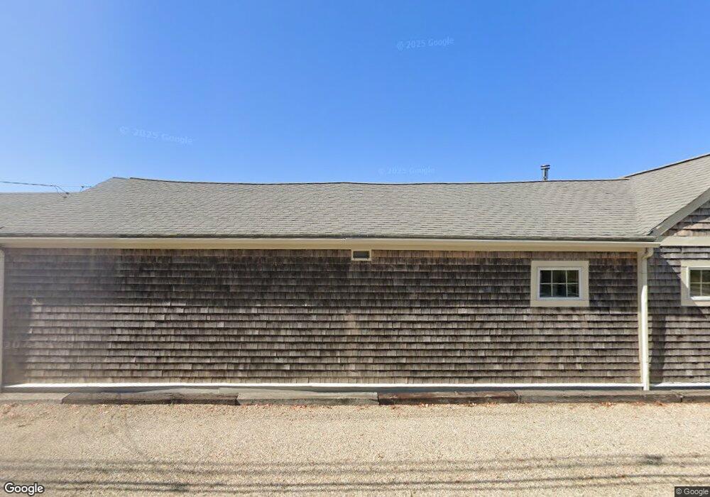
274 Gannett Rd Scituate, MA 02066
Estimated Value: $604,000 - $1,044,000
--
Bed
2
Baths
1,496
Sq Ft
$552/Sq Ft
Est. Value
About This Home
This home is located at 274 Gannett Rd, Scituate, MA 02066 and is currently estimated at $826,259, approximately $552 per square foot. 274 Gannett Rd is a home located in Plymouth County with nearby schools including Hatherly Elementary School, Lester J. Gates Middle School, and Scituate High School.
Ownership History
Date
Name
Owned For
Owner Type
Purchase Details
Closed on
Dec 20, 2018
Sold by
Scott Robert C and Scott Ann V
Bought by
Scott Ann V
Current Estimated Value
Purchase Details
Closed on
Sep 14, 2007
Sold by
Scott T and Scott Robert C
Bought by
Scott Robert C and Scott Ann
Create a Home Valuation Report for This Property
The Home Valuation Report is an in-depth analysis detailing your home's value as well as a comparison with similar homes in the area
Home Values in the Area
Average Home Value in this Area
Purchase History
| Date | Buyer | Sale Price | Title Company |
|---|---|---|---|
| Scott Ann V | -- | None Available | |
| Scott Robert C | -- | -- |
Source: Public Records
Mortgage History
| Date | Status | Borrower | Loan Amount |
|---|---|---|---|
| Previous Owner | Scott Robert C | $60,000 | |
| Previous Owner | Scott Robert C | $15,000 |
Source: Public Records
Tax History Compared to Growth
Tax History
| Year | Tax Paid | Tax Assessment Tax Assessment Total Assessment is a certain percentage of the fair market value that is determined by local assessors to be the total taxable value of land and additions on the property. | Land | Improvement |
|---|---|---|---|---|
| 2025 | $5,143 | $514,800 | $281,900 | $232,900 |
| 2024 | $5,024 | $484,900 | $256,300 | $228,600 |
| 2023 | $3,724 | $342,200 | $252,400 | $89,800 |
| 2022 | $3,724 | $295,100 | $209,300 | $85,800 |
| 2021 | $3,716 | $278,800 | $199,300 | $79,500 |
| 2020 | $3,637 | $269,400 | $191,600 | $77,800 |
| 2019 | $3,656 | $266,100 | $187,800 | $78,300 |
| 2018 | $3,744 | $268,400 | $192,700 | $75,700 |
| 2017 | $3,687 | $261,700 | $186,000 | $75,700 |
| 2016 | $3,607 | $255,100 | $179,400 | $75,700 |
| 2015 | $3,254 | $248,400 | $172,700 | $75,700 |
Source: Public Records
Map
Nearby Homes
- 26 Mordecai Lincoln Rd
- 16 3 Ring Rd
- 7 Border St
- 112 Hollett St
- 817 Country Way
- 392 S Main St
- 11 Forest Ln
- 9 Forest Ln Unit 9
- 84 Booth Hill Rd
- 29 Country Club Cir
- 309 S Main St
- 8 Trudys Ln
- 40 Brewster Rd
- 70 Black Horse Ln
- 9 Kyle Path
- 68 Black Horse Ln
- 59 Captain Peirce Rd
- 212 S Main St
- 24 Wood Island Rd
- 14 Aberdeen Dr
- 280 Gannett Rd
- 277 Gannett Rd
- 284 Gannett Rd
- 279 Gannett Rd
- 266 Gannett Rd
- 266 Gannett Rd
- 265 Gannett Rd
- 283 Gannett Rd
- 288 Gannett Rd
- 290 Gannett Rd
- 261 Gannett Rd
- 289 Gannett Rd
- 294 Gannett Rd
- 2 Kathys Path
- 2 Kathy's Path
- 9 Kathys Path
- 257 Gannett Rd
- 257 Gannett Rd Unit Whole House
- 296 Gannett Rd
- 4 3 Ring Rd