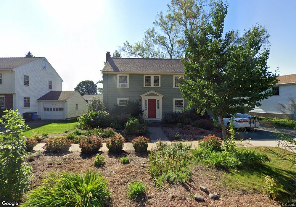
274 Grove St Belmont, MA 02478
Cushing Square NeighborhoodEstimated Value: $1,382,000 - $1,549,998
3
Beds
2
Baths
2,149
Sq Ft
$684/Sq Ft
Est. Value
About This Home
This home is located at 274 Grove St, Belmont, MA 02478 and is currently estimated at $1,470,250, approximately $684 per square foot. 274 Grove St is a home located in Middlesex County with nearby schools including Mary Lee Burbank Elementary School, Winthrop L Chenery Middle School, and Belmont High School.
Ownership History
Date
Name
Owned For
Owner Type
Purchase Details
Closed on
Nov 29, 2007
Sold by
Bossert Mary Lee and Bossert William H
Bought by
Davis Joyce E
Current Estimated Value
Home Financials for this Owner
Home Financials are based on the most recent Mortgage that was taken out on this home.
Original Mortgage
$350,000
Outstanding Balance
$223,589
Interest Rate
6.48%
Mortgage Type
Purchase Money Mortgage
Estimated Equity
$1,246,661
Create a Home Valuation Report for This Property
The Home Valuation Report is an in-depth analysis detailing your home's value as well as a comparison with similar homes in the area
Home Values in the Area
Average Home Value in this Area
Purchase History
| Date | Buyer | Sale Price | Title Company |
|---|---|---|---|
| Davis Joyce E | $650,000 | -- |
Source: Public Records
Mortgage History
| Date | Status | Borrower | Loan Amount |
|---|---|---|---|
| Open | Davis Joyce E | $350,000 |
Source: Public Records
Tax History Compared to Growth
Tax History
| Year | Tax Paid | Tax Assessment Tax Assessment Total Assessment is a certain percentage of the fair market value that is determined by local assessors to be the total taxable value of land and additions on the property. | Land | Improvement |
|---|---|---|---|---|
| 2025 | $13,793 | $1,211,000 | $665,000 | $546,000 |
| 2024 | $13,284 | $1,258,000 | $829,000 | $429,000 |
| 2023 | $12,465 | $1,109,000 | $723,000 | $386,000 |
| 2022 | $12,022 | $1,040,000 | $679,000 | $361,000 |
| 2021 | $11,632 | $1,008,000 | $708,000 | $300,000 |
| 2020 | $10,934 | $994,000 | $694,000 | $300,000 |
| 2019 | $9,709 | $832,000 | $546,000 | $286,000 |
| 2018 | $9,501 | $782,000 | $496,000 | $286,000 |
| 2017 | $9,403 | $741,000 | $455,000 | $286,000 |
| 2016 | $9,269 | $738,000 | $455,000 | $283,000 |
| 2015 | $8,540 | $662,000 | $379,000 | $283,000 |
Source: Public Records
Map
Nearby Homes
- 105 Watson Rd
- 118 Blanchard Rd
- 36 Madison St
- 48 Concord Ave
- 4 Merrill Ave
- 73 Foster Rd Unit 2
- 15 Sunset Rd
- 48 Hamilton Rd
- 46 Hamilton Rd
- 95 Griswold St Unit 95
- 93 Griswold St Unit 93
- 30 Unity Ave Unit 30
- 73 Trowbridge St Unit 73A
- 73 Trowbridge St Unit 73B
- 55 S Normandy Ave
- 161 Cushing St
- 23 Loomis St Unit 23
- 276 Belmont St Unit 1
- 10 Marlboro St Unit 1
- 38 Myrtle St