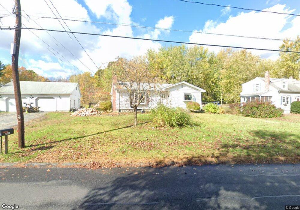
274 Lathrop St South Hadley, MA 01075
Estimated Value: $340,000 - $431,000
3
Beds
2
Baths
1,504
Sq Ft
$267/Sq Ft
Est. Value
About This Home
This home is located at 274 Lathrop St, South Hadley, MA 01075 and is currently estimated at $401,901, approximately $267 per square foot. 274 Lathrop St is a home located in Hampshire County with nearby schools including Plains Elementary School, Mosier Elementary School, and Michael E. Smith Middle School.
Ownership History
Date
Name
Owned For
Owner Type
Purchase Details
Closed on
Aug 10, 2004
Sold by
Cronin John J and Cronin Irene K
Bought by
Brainard Michael F and Brainard Alice H
Current Estimated Value
Home Financials for this Owner
Home Financials are based on the most recent Mortgage that was taken out on this home.
Original Mortgage
$156,000
Outstanding Balance
$78,383
Interest Rate
6.2%
Mortgage Type
Purchase Money Mortgage
Estimated Equity
$323,518
Create a Home Valuation Report for This Property
The Home Valuation Report is an in-depth analysis detailing your home's value as well as a comparison with similar homes in the area
Home Values in the Area
Average Home Value in this Area
Purchase History
| Date | Buyer | Sale Price | Title Company |
|---|---|---|---|
| Brainard Michael F | $195,000 | -- |
Source: Public Records
Mortgage History
| Date | Status | Borrower | Loan Amount |
|---|---|---|---|
| Open | Brainard Michael F | $20,000 | |
| Open | Brainard Michael F | $156,000 |
Source: Public Records
Tax History Compared to Growth
Tax History
| Year | Tax Paid | Tax Assessment Tax Assessment Total Assessment is a certain percentage of the fair market value that is determined by local assessors to be the total taxable value of land and additions on the property. | Land | Improvement |
|---|---|---|---|---|
| 2025 | $5,564 | $349,300 | $125,200 | $224,100 |
| 2024 | $5,568 | $334,400 | $117,100 | $217,300 |
| 2023 | $5,260 | $299,700 | $106,200 | $193,500 |
| 2022 | $5,065 | $274,100 | $106,200 | $167,900 |
| 2021 | $5,015 | $257,700 | $99,700 | $158,000 |
| 2020 | $4,941 | $247,800 | $99,700 | $148,100 |
| 2019 | $4,796 | $238,000 | $94,900 | $143,100 |
| 2018 | $4,624 | $232,000 | $92,300 | $139,700 |
| 2017 | $4,485 | $222,900 | $92,300 | $130,600 |
| 2016 | $4,143 | $208,700 | $92,300 | $116,400 |
| 2015 | $3,936 | $203,100 | $89,700 | $113,400 |
Source: Public Records
Map
Nearby Homes
- 85 Fairview St
- 84 Judd Ave
- 88 Alvord St
- 47 Pynchon Rd
- 318 Newton St
- 45 Pine St
- 1 White Brook Ln
- 70 Lathrop St
- 19 Hildreth Ave
- 4 Sunrise Cir
- 63 Washington Ave
- 101 Alvord Place
- 505 Alvord Place
- 25 Noel St
- 41 W Summit St Unit 72
- 41 W Summit St Unit 54
- 41 W Summit St Unit 32
- 41 W Summit St Unit 55
- 60 San Souci Dr
- 133 Granby Rd
- 280 Lathrop St
- 279 Lathrop St
- 250 Lathrop St
- 284 Lathrop St
- 259 Lathrop St
- 289 Lathrop St
- 257 Lathrop St
- 244 Lathrop St
- 288 Lathrop St
- 293 Lathrop St
- 237 Lathrop St
- 240 Lathrop St
- 297 Lathrop St
- 235 Lathrop St
- 240 Brainerd St
- 292 Lathrop St
- 242 Brainerd St
- 18 Berwyn Street Extension
- 236 Brainerd St
- 233 Lathrop St