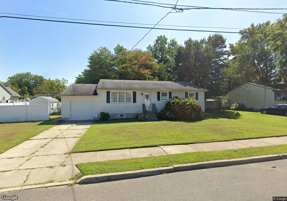
274 Middlesex Ave Thorofare, NJ 08086
West Deptford Township NeighborhoodEstimated Value: $250,213 - $320,000
--
Bed
--
Bath
1,204
Sq Ft
$243/Sq Ft
Est. Value
About This Home
This home is located at 274 Middlesex Ave, Thorofare, NJ 08086 and is currently estimated at $293,053, approximately $243 per square foot. 274 Middlesex Ave is a home located in Gloucester County with nearby schools including Red Bank Elementary School, Oakview Elementary School, and Green-Fields Elementary School.
Ownership History
Date
Name
Owned For
Owner Type
Purchase Details
Closed on
Oct 7, 2016
Sold by
Frampton Albert R and Frampton Carol A
Bought by
Franmton Ellen
Current Estimated Value
Home Financials for this Owner
Home Financials are based on the most recent Mortgage that was taken out on this home.
Original Mortgage
$70,700
Outstanding Balance
$51,922
Interest Rate
3.46%
Mortgage Type
Credit Line Revolving
Estimated Equity
$241,131
Create a Home Valuation Report for This Property
The Home Valuation Report is an in-depth analysis detailing your home's value as well as a comparison with similar homes in the area
Home Values in the Area
Average Home Value in this Area
Purchase History
| Date | Buyer | Sale Price | Title Company |
|---|---|---|---|
| Franmton Ellen | -- | None Available |
Source: Public Records
Mortgage History
| Date | Status | Borrower | Loan Amount |
|---|---|---|---|
| Open | Franmton Ellen | $70,700 |
Source: Public Records
Tax History Compared to Growth
Tax History
| Year | Tax Paid | Tax Assessment Tax Assessment Total Assessment is a certain percentage of the fair market value that is determined by local assessors to be the total taxable value of land and additions on the property. | Land | Improvement |
|---|---|---|---|---|
| 2025 | $5,695 | $163,100 | $57,300 | $105,800 |
| 2024 | $5,622 | $163,100 | $57,300 | $105,800 |
| 2023 | $5,622 | $163,100 | $57,300 | $105,800 |
| 2022 | $5,596 | $163,100 | $57,300 | $105,800 |
| 2021 | $5,576 | $163,100 | $57,300 | $105,800 |
| 2020 | $5,563 | $163,100 | $57,300 | $105,800 |
| 2019 | $5,243 | $158,100 | $57,300 | $100,800 |
| 2018 | $5,100 | $158,100 | $57,300 | $100,800 |
| 2017 | $4,982 | $158,100 | $57,300 | $100,800 |
| 2016 | $4,843 | $158,100 | $57,300 | $100,800 |
| 2015 | $4,613 | $158,100 | $57,300 | $100,800 |
| 2014 | $4,384 | $158,100 | $57,300 | $100,800 |
Source: Public Records
Map
Nearby Homes
- 266 Passaic Ave
- 107 Audubon Ave
- 121 Cape May Ave
- 177 Frederic Ct Unit 177
- 10 Kennedy Ct
- 400 Audubon Ave
- 64 Tilden Rd
- 439 Crown Point Rd
- 112 N Drexel St
- 433 Crown Point Rd
- 67 Pelican Place
- 38 Pelican Place Unit 38
- 1810 Fernwood Dr
- 91 N American St
- 44 N American St
- 21 S Columbia St
- 558 Prince St
- 845 W Red Bank Ave
- 136 Sandpiper Ln
- 344 S Girard St
- 270 Middlesex Ave
- 125 Harding Ave
- 271 Roosevelt Blvd
- 120 Harding Ave
- 271 N Roosevelt Blvd
- 307 Roosevelt Blvd
- 307 N Roosevelt Blvd
- 271 Middlesex Ave
- 266 Middlesex Ave
- 265 Middlesex Ave
- 267 Roosevelt Blvd
- 311 Roosevelt Blvd
- 310 Middlesex Ave
- 311 N Roosevelt Blvd
- 276 N Monmouth Ave
- 262 Middlesex Ave
- 276 Monmouth Ave
- 272 Monmouth Ave
- 261 Middlesex Ave
- 131 Harding Ave