Estimated Value: $517,000 - $647,000
3
Beds
2
Baths
1,494
Sq Ft
$398/Sq Ft
Est. Value
About This Home
This home is located at 274 Ramsdell Rd, Gray, ME 04039 and is currently estimated at $594,555, approximately $397 per square foot. 274 Ramsdell Rd is a home with nearby schools including Gray-New Gloucester High School.
Ownership History
Date
Name
Owned For
Owner Type
Purchase Details
Closed on
Apr 16, 2009
Sold by
Brown Crystal L and Brown Jason L
Bought by
Brown Jason L and Brown Crystal L
Current Estimated Value
Home Financials for this Owner
Home Financials are based on the most recent Mortgage that was taken out on this home.
Original Mortgage
$170,000
Outstanding Balance
$43,591
Interest Rate
4.83%
Mortgage Type
Unknown
Estimated Equity
$550,965
Create a Home Valuation Report for This Property
The Home Valuation Report is an in-depth analysis detailing your home's value as well as a comparison with similar homes in the area
Home Values in the Area
Average Home Value in this Area
Purchase History
| Date | Buyer | Sale Price | Title Company |
|---|---|---|---|
| Brown Jason L | -- | -- |
Source: Public Records
Mortgage History
| Date | Status | Borrower | Loan Amount |
|---|---|---|---|
| Open | Brown Jason L | $170,000 |
Source: Public Records
Tax History
| Year | Tax Paid | Tax Assessment Tax Assessment Total Assessment is a certain percentage of the fair market value that is determined by local assessors to be the total taxable value of land and additions on the property. | Land | Improvement |
|---|---|---|---|---|
| 2025 | $5,924 | $612,000 | $261,000 | $351,000 |
| 2024 | $5,936 | $612,000 | $261,000 | $351,000 |
| 2023 | $4,756 | $313,300 | $82,300 | $231,000 |
| 2022 | $4,371 | $313,300 | $82,300 | $231,000 |
| 2021 | $4,246 | $290,600 | $82,300 | $208,300 |
| 2020 | $4,286 | $290,600 | $82,300 | $208,300 |
| 2019 | $4,286 | $290,600 | $82,300 | $208,300 |
| 2018 | $4,287 | $306,200 | $97,900 | $208,300 |
| 2017 | $3,846 | $213,100 | $68,200 | $144,900 |
| 2016 | $3,900 | $213,100 | $68,200 | $144,900 |
| 2015 | $3,878 | $213,100 | $68,200 | $144,900 |
| 2014 | $3,878 | $213,100 | $68,200 | $144,900 |
| 2012 | $3,437 | $216,866 | $68,220 | $148,646 |
Source: Public Records
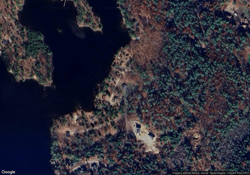
Map
Nearby Homes
- 150 Birchwood Rd
- M011-006 Westwood Rd
- 2 Gore Rd
- 17 Northern Oaks Dr
- 4 Chelsey Ln
- 224 Shaker Rd
- 15 Presidential View
- 0 Gore Unit 1655428
- Lot 21-29 Weymouth Rd
- 20 Bittersweet Way
- 65 Blueberry Ln
- 14 Yarmouth Rd
- 13 Yarmouth Rd
- 0 Colley Hill Rd
- 39 Pipeline Rd
- 25 Yarmouth Rd
- 16 Peterson Rd
- 52 Colley Hill Rd
- lot #8 Bedrock Terrace
- 3 First Mill Dr
Your Personal Tour Guide
Ask me questions while you tour the home.