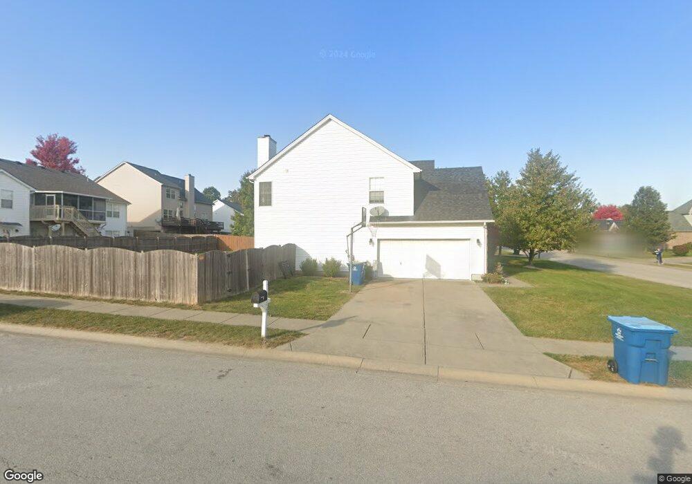
274 Ransom Trace Unit 3H Georgetown, KY 40324
Bradford Place NeighborhoodEstimated Value: $393,000 - $406,890
4
Beds
3
Baths
2,725
Sq Ft
$147/Sq Ft
Est. Value
About This Home
This home is located at 274 Ransom Trace Unit 3H, Georgetown, KY 40324 and is currently estimated at $399,223, approximately $146 per square foot. 274 Ransom Trace Unit 3H is a home located in Scott County with nearby schools including Southern Elementary School, Creekside Elementary School, and Georgetown Middle School.
Ownership History
Date
Name
Owned For
Owner Type
Purchase Details
Closed on
Jun 15, 2011
Sold by
Spurlock Jason T and Spurlock Susan P
Bought by
Wollen Jack L and Wollen Crystal A
Current Estimated Value
Home Financials for this Owner
Home Financials are based on the most recent Mortgage that was taken out on this home.
Original Mortgage
$187,619
Outstanding Balance
$128,549
Interest Rate
4.5%
Mortgage Type
FHA
Estimated Equity
$270,674
Purchase Details
Closed on
Mar 18, 2005
Sold by
Ball Homes Llc
Bought by
Spurlock Jason T and Spurlock Susan P
Home Financials for this Owner
Home Financials are based on the most recent Mortgage that was taken out on this home.
Original Mortgage
$185,826
Interest Rate
5.54%
Mortgage Type
New Conventional
Create a Home Valuation Report for This Property
The Home Valuation Report is an in-depth analysis detailing your home's value as well as a comparison with similar homes in the area
Home Values in the Area
Average Home Value in this Area
Purchase History
| Date | Buyer | Sale Price | Title Company |
|---|---|---|---|
| Wollen Jack L | $192,500 | Mattingly Ford Title Service | |
| Spurlock Jason T | $200,826 | Elam Metropolitan Title Co |
Source: Public Records
Mortgage History
| Date | Status | Borrower | Loan Amount |
|---|---|---|---|
| Open | Wollen Jack L | $187,619 | |
| Previous Owner | Spurlock Jason T | $185,826 |
Source: Public Records
Tax History Compared to Growth
Tax History
| Year | Tax Paid | Tax Assessment Tax Assessment Total Assessment is a certain percentage of the fair market value that is determined by local assessors to be the total taxable value of land and additions on the property. | Land | Improvement |
|---|---|---|---|---|
| 2024 | $2,942 | $327,100 | $0 | $0 |
| 2023 | $2,819 | $310,900 | $42,000 | $268,900 |
| 2022 | $2,121 | $249,400 | $35,000 | $214,400 |
| 2021 | $2,169 | $230,300 | $35,000 | $195,300 |
| 2020 | $1,839 | $214,000 | $35,000 | $179,000 |
| 2019 | $1,800 | $206,200 | $0 | $0 |
| 2018 | $1,742 | $200,775 | $0 | $0 |
| 2017 | $1,751 | $200,775 | $0 | $0 |
| 2016 | $1,617 | $200,775 | $0 | $0 |
| 2015 | $1,575 | $196,900 | $0 | $0 |
| 2014 | $1,596 | $192,500 | $0 | $0 |
| 2011 | $125 | $200,826 | $0 | $0 |
Source: Public Records
Map
Nearby Homes
- 235 Ransom Trace
- 129 Irving Ln
- 217 Atwood Dr
- 1115 Apache Trail
- 1215 Seminole Trail
- 104 Copper Kettle Path
- 126 Copper Kettle Path
- 106 Stapleton Way
- 212 Pocahontas Trail
- 247 W Showalter Dr
- 1108 Beth Ct
- 110 Lovett Park Ln
- 500 Hiawatha Trail
- 301 Aztec Trail
- 151 Hemingway Place
- 115 Hutchins Dr
- 102 Wharton Ct
- 900 Shoshoni Trail
- 1117 Pawnee Trail
- 198 Hiawatha Trail
- 272 Ransom Trace
- 102 Ellen Ct
- 100 Ellen Ct
- 270 Ransom Trace
- 283 Ransom Trace
- 285 Ransom Trace
- 275 Ransom Trace
- 273 Ransom Trace
- 281 Ransom Trace Unit 3H
- 104 Ellen Ct
- 287 Ransom Trace
- 277 Ransom Trace
- 271 Ransom Trace
- 268 Ransom Trace
- 279 Ransom Trace
- 289 Ransom Trace
- 106 Ellen Ct
- 269 Ransom Trace
- 112 Walden Cove Unit 3I
- 114 Walden Cove