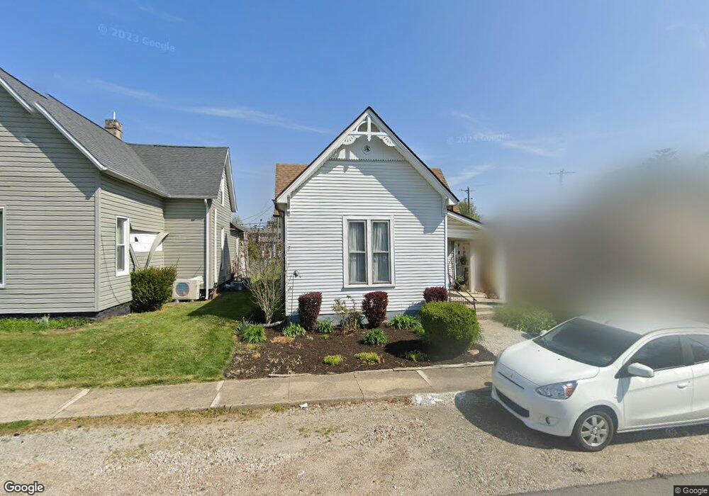
274 W Adams St Franklin, IN 46131
Estimated Value: $151,000 - $214,000
2
Beds
1
Bath
1,104
Sq Ft
$167/Sq Ft
Est. Value
About This Home
This home is located at 274 W Adams St, Franklin, IN 46131 and is currently estimated at $183,948, approximately $166 per square foot. 274 W Adams St is a home located in Johnson County with nearby schools including Northwood Elementary School, Franklin Community Middle School, and Custer Baker Intermediate School.
Ownership History
Date
Name
Owned For
Owner Type
Purchase Details
Closed on
Mar 10, 2009
Sold by
Allen Kathy L
Bought by
Harris Barbara J
Current Estimated Value
Purchase Details
Closed on
Apr 24, 2008
Sold by
Yaden Edward
Bought by
Allen Kathy L
Home Financials for this Owner
Home Financials are based on the most recent Mortgage that was taken out on this home.
Original Mortgage
$40,500
Interest Rate
8.12%
Mortgage Type
Adjustable Rate Mortgage/ARM
Purchase Details
Closed on
Oct 17, 2006
Sold by
Yaden Emma Sue
Bought by
Yaden Edward and Yaden Dwight
Create a Home Valuation Report for This Property
The Home Valuation Report is an in-depth analysis detailing your home's value as well as a comparison with similar homes in the area
Home Values in the Area
Average Home Value in this Area
Purchase History
| Date | Buyer | Sale Price | Title Company |
|---|---|---|---|
| Harris Barbara J | -- | None Available | |
| Allen Kathy L | -- | None Available | |
| Yaden Edward | -- | None Available |
Source: Public Records
Mortgage History
| Date | Status | Borrower | Loan Amount |
|---|---|---|---|
| Previous Owner | Allen Kathy L | $40,500 |
Source: Public Records
Tax History
| Year | Tax Paid | Tax Assessment Tax Assessment Total Assessment is a certain percentage of the fair market value that is determined by local assessors to be the total taxable value of land and additions on the property. | Land | Improvement |
|---|---|---|---|---|
| 2025 | $194 | $96,400 | $19,800 | $76,600 |
| 2024 | $194 | $104,000 | $19,800 | $84,200 |
| 2023 | $190 | $95,900 | $19,800 | $76,100 |
| 2022 | $186 | $88,300 | $19,800 | $68,500 |
| 2021 | $182 | $75,000 | $18,600 | $56,400 |
| 2020 | $225 | $78,800 | $18,600 | $60,200 |
| 2019 | $220 | $73,500 | $11,900 | $61,600 |
| 2018 | $569 | $67,100 | $11,900 | $55,200 |
| 2017 | $539 | $63,800 | $11,900 | $51,900 |
| 2016 | $461 | $60,600 | $11,900 | $48,700 |
| 2014 | $407 | $49,100 | $12,800 | $36,300 |
| 2013 | $407 | $47,900 | $12,800 | $35,100 |
Source: Public Records
Map
Nearby Homes
- 198 W King St
- 153 N Vaught St
- 0 W 900 Hwy Unit 202537998
- 598 Johnson Ave
- 178 S Water St Unit F
- 76 E Wayne St Unit B
- 227 E Jefferson St
- 252 S Main St
- 348 Ohio St
- 601 Duane St
- 698 Yandes St
- 450 E Madison St
- 750 Hurricane St
- 925 Mallory Pkwy
- 1005 Canary Creek Ct
- 1110 Hillview Dr
- 1102 E Jefferson St
- 785 Shoreline Ct
- 1046 Ebony Cir
- 1860 Churchill Rd
- 250 W Adams St
- 248 W Adams St
- 298 W Adams St
- 275 W Adams St
- 297 Walnut St
- 344 Breckinridge St
- 351 Walnut St
- 300 Walnut St
- 300 Breckinridge St
- 298 Breckinridge St
- 298 Breckenridge St
- 348 Breckenridge St
- 252 Breckenridge St
- 252 Breckinridge St
- 381 Walnut St
- 348 Breckinridge St
- 350 Breckinridge St
- 340 W Adams St
- 350 Breckenridge St
- 251 Walnut St