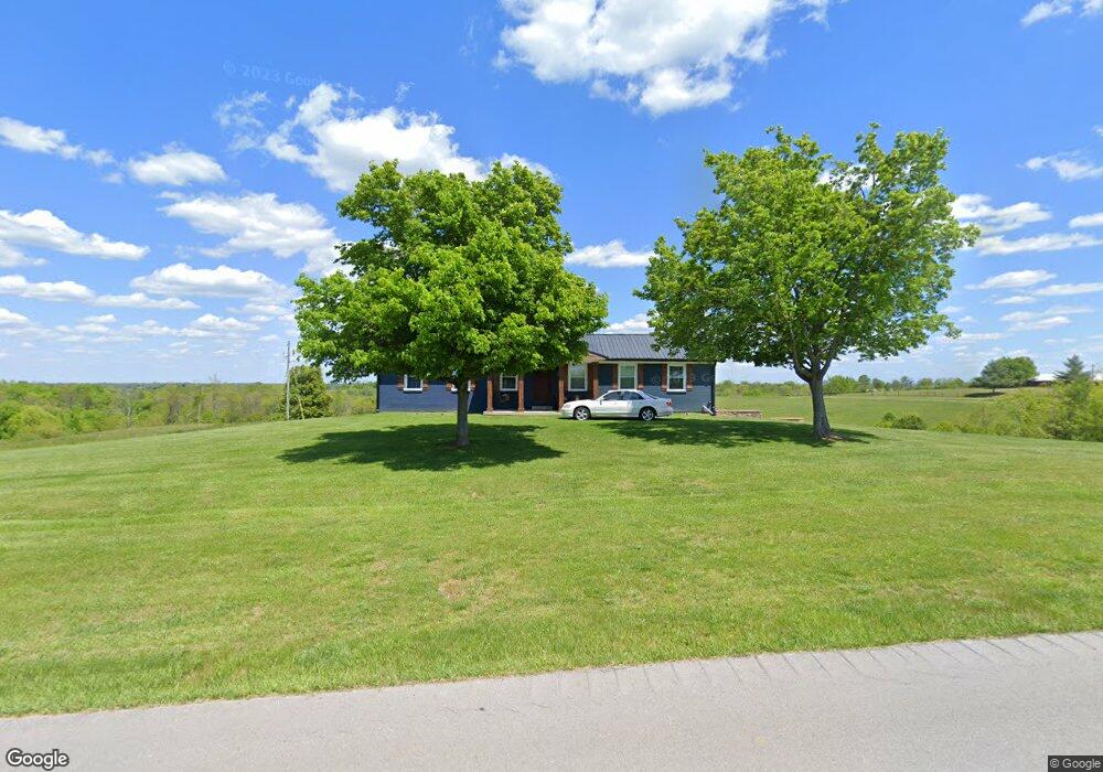
2740 Perry Rogers Rd Lancaster, KY 40444
Estimated Value: $184,000 - $317,000
3
Beds
2
Baths
1,566
Sq Ft
$161/Sq Ft
Est. Value
About This Home
This home is located at 2740 Perry Rogers Rd, Lancaster, KY 40444 and is currently estimated at $252,828, approximately $161 per square foot. 2740 Perry Rogers Rd is a home located in Garrard County with nearby schools including Garrard County High School.
Ownership History
Date
Name
Owned For
Owner Type
Purchase Details
Closed on
Jan 23, 2025
Sold by
Allison Abrasives Incorporated
Bought by
Garrard County Community Food Bank Inc
Current Estimated Value
Purchase Details
Closed on
Mar 10, 2022
Sold by
Scott Jonathan R and Scott Jennifer R
Bought by
Amon Baylee C
Home Financials for this Owner
Home Financials are based on the most recent Mortgage that was taken out on this home.
Original Mortgage
$144,000
Interest Rate
3.92%
Mortgage Type
New Conventional
Create a Home Valuation Report for This Property
The Home Valuation Report is an in-depth analysis detailing your home's value as well as a comparison with similar homes in the area
Home Values in the Area
Average Home Value in this Area
Purchase History
| Date | Buyer | Sale Price | Title Company |
|---|---|---|---|
| Garrard County Community Food Bank Inc | $25,000 | None Listed On Document | |
| Garrard County Community Food Bank Inc | $25,000 | None Listed On Document | |
| Amon Baylee C | $160,000 | Whitworth Chris A |
Source: Public Records
Mortgage History
| Date | Status | Borrower | Loan Amount |
|---|---|---|---|
| Previous Owner | Amon Baylee C | $144,000 |
Source: Public Records
Tax History Compared to Growth
Tax History
| Year | Tax Paid | Tax Assessment Tax Assessment Total Assessment is a certain percentage of the fair market value that is determined by local assessors to be the total taxable value of land and additions on the property. | Land | Improvement |
|---|---|---|---|---|
| 2024 | $1,695 | $159,700 | $54,700 | $105,000 |
| 2023 | $1,700 | $159,700 | $54,700 | $105,000 |
| 2022 | $1,281 | $116,000 | $20,000 | $96,000 |
| 2021 | $1,308 | $116,000 | $20,000 | $96,000 |
| 2020 | $1,304 | $116,000 | $20,000 | $96,000 |
| 2019 | $1,309 | $116,000 | $20,000 | $96,000 |
| 2018 | $1,241 | $110,000 | $110,000 | $0 |
| 2017 | $1,238 | $110,000 | $110,000 | $0 |
| 2016 | $1,215 | $110,000 | $110,000 | $0 |
| 2012 | $1,185 | $110,000 | $110,000 | $0 |
Source: Public Records
Map
Nearby Homes
- 2 Perry Rodgers Rd
- 545 Maupin Rd
- 9 Poor House Rd
- 7 Poor House Rd
- 6 Poor House Rd
- 5 Poor House Rd
- 1810 Kirksville Rd
- 261 Landyn Brooke Way
- 1 Perry Rogers Rd
- 131 Sunrise Dr
- 315 Davis Ave
- 119 Hillcrest Ave
- 166 Prewitt Ln
- 1205 Richmond Rd Unit loop 3
- 1168 Nina Ridge Rd
- 107 Sunset Ave
- 95 House Hill Rd
- 316 Richmond St
- 733 Richmond Rd
- 306 Richmond St
- 2592 Perry Rogers Rd
- 233 Twin Lakes Rd
- 233 Twin Lakes Rd
- 168 Twin Lakes Rd
- 168 Twin Lakes Rd
- 49 Windy Ridge
- 49 Windy Ridge
- 2970 Perry Rogers Rd
- 169 Windy Ridge
- 169 Windy Ridge
- 169 Windy Ridge Dr
- 314 Twin Lakes Rd
- 314 Twin Lakes Rd
- 314 Twin Lakes Rd
- 2 Windy Ridge Dr
- 3 Windy Ridge Dr
- 5 Windy Ridge Dr
- 1 Windy Ridge Dr
- 4 Windy Ridge Dr
- 9 Windy Ridge Dr