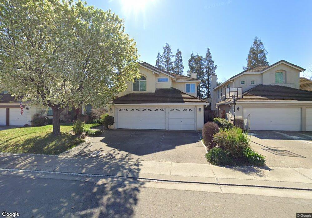
2740 Sequoia St Lodi, CA 95242
Sunwest NeighborhoodEstimated Value: $569,130 - $649,000
4
Beds
3
Baths
2,256
Sq Ft
$272/Sq Ft
Est. Value
About This Home
This home is located at 2740 Sequoia St, Lodi, CA 95242 and is currently estimated at $612,533, approximately $271 per square foot. 2740 Sequoia St is a home located in San Joaquin County with nearby schools including Erma B. Reese Elementary School, Millswood Middle School, and Lodi High School.
Ownership History
Date
Name
Owned For
Owner Type
Purchase Details
Closed on
May 16, 2012
Sold by
Ma Phillip G and Murphy Ma Joann
Bought by
Ma Phillip G and Murphy Ma Joann
Current Estimated Value
Home Financials for this Owner
Home Financials are based on the most recent Mortgage that was taken out on this home.
Original Mortgage
$175,010
Outstanding Balance
$23,362
Interest Rate
2.87%
Mortgage Type
FHA
Estimated Equity
$589,171
Purchase Details
Closed on
Aug 18, 2005
Sold by
Ma Phillip G and Murphy Ma Joann
Bought by
Ma Phillip G and Murphy Ma Joann
Purchase Details
Closed on
Aug 12, 1996
Sold by
Greystone Homes Inc
Bought by
Ma Phillip G and Murphy Ma Joann
Home Financials for this Owner
Home Financials are based on the most recent Mortgage that was taken out on this home.
Original Mortgage
$158,200
Interest Rate
8.18%
Create a Home Valuation Report for This Property
The Home Valuation Report is an in-depth analysis detailing your home's value as well as a comparison with similar homes in the area
Home Values in the Area
Average Home Value in this Area
Purchase History
| Date | Buyer | Sale Price | Title Company |
|---|---|---|---|
| Ma Phillip G | -- | None Available | |
| Ma Phillip G | -- | -- | |
| Ma Phillip G | $198,000 | Old Republic Title Company |
Source: Public Records
Mortgage History
| Date | Status | Borrower | Loan Amount |
|---|---|---|---|
| Open | Ma Phillip G | $175,010 | |
| Closed | Ma Phillip G | $158,200 |
Source: Public Records
Tax History
| Year | Tax Paid | Tax Assessment Tax Assessment Total Assessment is a certain percentage of the fair market value that is determined by local assessors to be the total taxable value of land and additions on the property. | Land | Improvement |
|---|---|---|---|---|
| 2025 | $3,420 | $322,116 | $89,568 | $232,548 |
| 2024 | $3,326 | $315,801 | $87,812 | $227,989 |
| 2023 | $3,286 | $309,610 | $86,091 | $223,519 |
| 2022 | $3,211 | $303,540 | $84,403 | $219,137 |
| 2021 | $3,268 | $297,590 | $82,749 | $214,841 |
| 2020 | $3,182 | $294,540 | $81,901 | $212,639 |
| 2019 | $3,117 | $288,766 | $80,296 | $208,470 |
| 2018 | $3,072 | $283,105 | $78,722 | $204,383 |
| 2017 | $3,002 | $277,555 | $77,179 | $200,376 |
| 2016 | $2,812 | $272,113 | $75,666 | $196,447 |
| 2014 | $2,743 | $262,778 | $73,070 | $189,708 |
Source: Public Records
Map
Nearby Homes
- 956 Pearwood Cir
- 1111 Brighton Way
- 2414 Modoc Way
- 864 Rutledge Dr
- 842 Rutledge Dr
- 2400 Eilers Ln Unit 1806
- 2400 Eilers Ln Unit 1206
- 2735 Bristol Ln
- 2416 W Turner Rd
- 2402 W Turner Rd
- 2355 Woodlake Cir
- 2401 Eilers Ln Unit 903
- 2401 Eilers Ln Unit 304
- 2401 Eilers Ln Unit 102
- 2401 Eilers Ln Unit 1105
- 2441 W Elm St
- 1266 Winerose Ct
- 1225 Lilac St
- 450 W Turner Rd
- 2681 Ponderosa Dr
Your Personal Tour Guide
Ask me questions while you tour the home.