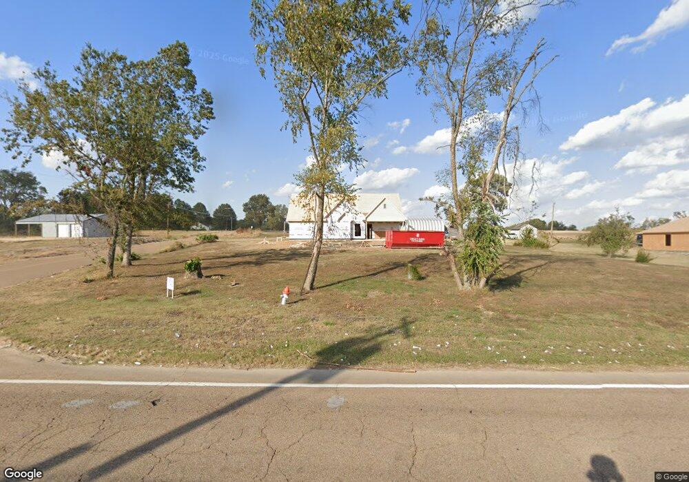
2742 Highway 54 E Covington, TN 38019
Estimated Value: $253,000 - $331,921
Studio
3
Baths
1,996
Sq Ft
$144/Sq Ft
Est. Value
About This Home
This home is located at 2742 Highway 54 E, Covington, TN 38019 and is currently estimated at $287,980, approximately $144 per square foot. 2742 Highway 54 E is a home located in Tipton County with nearby schools including Crestview Elementary School, Crestview Middle School, and Covington High School.
Ownership History
Date
Name
Owned For
Owner Type
Purchase Details
Closed on
Jul 6, 1998
Sold by
Turner Richard C
Bought by
Thomas H L
Current Estimated Value
Purchase Details
Closed on
Jan 16, 1990
Bought by
Turner Richard C
Purchase Details
Closed on
Nov 3, 1987
Bought by
Turner Richard C and Turner Alicia L
Purchase Details
Closed on
Oct 18, 1984
Bought by
Burroughs Claude F and Burroughs Lisa L
Purchase Details
Closed on
Jan 23, 1978
Purchase Details
Closed on
Sep 24, 1977
Create a Home Valuation Report for This Property
The Home Valuation Report is an in-depth analysis detailing your home's value as well as a comparison with similar homes in the area
Purchase History
| Date | Buyer | Sale Price | Title Company |
|---|---|---|---|
| Thomas H L | $81,000 | -- | |
| Turner Richard C | -- | -- | |
| Turner Richard C | $60,500 | -- | |
| Burroughs Claude F | -- | -- | |
| -- | -- | -- | |
| -- | -- | -- |
Source: Public Records
Tax History
| Year | Tax Paid | Tax Assessment Tax Assessment Total Assessment is a certain percentage of the fair market value that is determined by local assessors to be the total taxable value of land and additions on the property. | Land | Improvement |
|---|---|---|---|---|
| 2025 | $1,317 | $86,550 | $9,650 | $76,900 |
| 2024 | $830 | $54,575 | $9,650 | $44,925 |
| 2023 | $291 | $48,100 | $9,650 | $38,450 |
| 2022 | $650 | $31,875 | $4,825 | $27,050 |
| 2021 | $650 | $31,875 | $4,825 | $27,050 |
| 2020 | $650 | $31,875 | $4,825 | $27,050 |
| 2019 | $601 | $24,825 | $4,275 | $20,550 |
| 2018 | $601 | $24,825 | $4,275 | $20,550 |
| 2017 | $601 | $24,825 | $4,275 | $20,550 |
| 2016 | $601 | $24,825 | $4,275 | $20,550 |
| 2015 | $538 | $22,275 | $4,275 | $18,000 |
| 2014 | $538 | $22,261 | $0 | $0 |
Source: Public Records
Map
Nearby Homes
- 250 McDow Ln
- 1806 Highway 54 E
- 1139 Tennessee 179
- 1452 Solo Rd
- 2051 Solo Rd
- 1090 Tennessee 179
- 963 Tennessee 54
- 104 Eagle Trace Rd
- 0 Tennessee 54
- 2030 S Main St
- 527 Fairway Dr
- 605 Byars St
- 400 Park St
- 0 Oil Mill Rd Unit 10212149
- 0 Antioch Hwy 51 Rd Unit RTC3137689
- 0 Hwy 179 Hwy Unit 10209247
- 713 S Tipton St
- 43 Hastings Way
- 212 Feezor St
- 624 Fyfe St
Your Personal Tour Guide
Ask me questions while you tour the home.