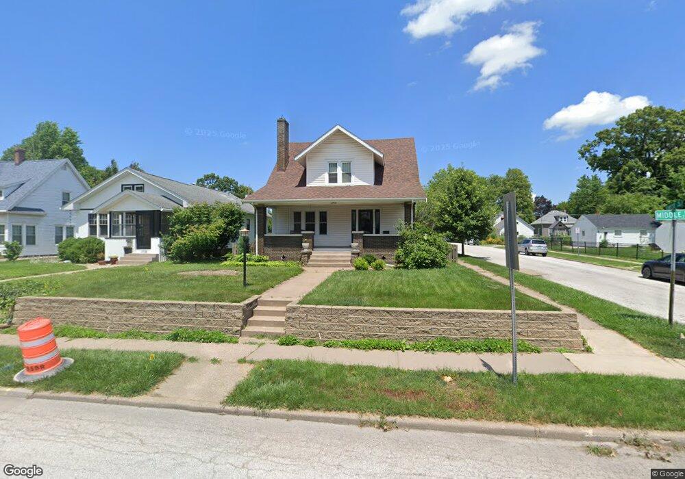
2742 Middle Rd Davenport, IA 52803
East End NeighborhoodEstimated Value: $245,000 - $304,000
3
Beds
2
Baths
1,706
Sq Ft
$158/Sq Ft
Est. Value
About This Home
This home is located at 2742 Middle Rd, Davenport, IA 52803 and is currently estimated at $268,814, approximately $157 per square foot. 2742 Middle Rd is a home located in Scott County with nearby schools including McKinley Elementary School, Sudlow Intermediate School, and Central High School.
Ownership History
Date
Name
Owned For
Owner Type
Purchase Details
Closed on
Nov 11, 2009
Sold by
Lukehart Debra K and Preis Herbert Oscar
Bought by
Bruen Steven J
Current Estimated Value
Home Financials for this Owner
Home Financials are based on the most recent Mortgage that was taken out on this home.
Original Mortgage
$127,000
Outstanding Balance
$82,714
Interest Rate
4.95%
Mortgage Type
New Conventional
Estimated Equity
$186,100
Purchase Details
Closed on
Jun 30, 2005
Sold by
Clark Craig N and Clark Nelissa S Anderson
Bought by
Lukehart Debra K
Home Financials for this Owner
Home Financials are based on the most recent Mortgage that was taken out on this home.
Original Mortgage
$140,000
Interest Rate
5.86%
Mortgage Type
New Conventional
Create a Home Valuation Report for This Property
The Home Valuation Report is an in-depth analysis detailing your home's value as well as a comparison with similar homes in the area
Home Values in the Area
Average Home Value in this Area
Purchase History
| Date | Buyer | Sale Price | Title Company |
|---|---|---|---|
| Bruen Steven J | $191,000 | None Available | |
| Lukehart Debra K | $175,000 | None Available |
Source: Public Records
Mortgage History
| Date | Status | Borrower | Loan Amount |
|---|---|---|---|
| Open | Bruen Steven J | $127,000 | |
| Previous Owner | Lukehart Debra K | $140,000 |
Source: Public Records
Tax History
| Year | Tax Paid | Tax Assessment Tax Assessment Total Assessment is a certain percentage of the fair market value that is determined by local assessors to be the total taxable value of land and additions on the property. | Land | Improvement |
|---|---|---|---|---|
| 2025 | $3,856 | $248,680 | $29,540 | $219,140 |
| 2024 | $3,764 | $215,810 | $29,540 | $186,270 |
| 2023 | $4,704 | $215,810 | $29,540 | $186,270 |
| 2022 | $4,760 | $214,000 | $28,410 | $185,590 |
| 2021 | $4,592 | $214,000 | $28,410 | $185,590 |
| 2020 | $4,720 | $211,200 | $28,410 | $182,790 |
| 2019 | $4,458 | $198,650 | $28,410 | $170,240 |
| 2018 | $4,210 | $198,650 | $28,410 | $170,240 |
| 2017 | $1,066 | $191,670 | $28,410 | $163,260 |
| 2016 | $3,984 | $181,910 | $0 | $0 |
| 2015 | $3,984 | $178,120 | $0 | $0 |
| 2014 | $3,956 | $178,120 | $0 | $0 |
| 2013 | $3,888 | $0 | $0 | $0 |
| 2012 | -- | $153,120 | $30,500 | $122,620 |
Source: Public Records
Map
Nearby Homes
- 2810 Middle Rd
- 2839 E Locust St
- 3015 E 18th St
- 2509 East St
- 71 Crestwood Terrace
- 70 Crestwood Terrace
- 1435 Jersey Ridge Rd
- 3215 E Locust St Unit A1-4
- 3215 E Locust St Unit A2-23
- 2316 East St
- 1803 Belle Ave
- 1815 Belle Ave
- 1816 Belle Ave
- 60 Custer Terrace
- 1228 Coffelt Ave
- 1611 Coffelt Ave
- 2304 Elm St
- 204 Greenwood Ave
- 1360 Heights Ct
- 2107 E Locust St
Your Personal Tour Guide
Ask me questions while you tour the home.