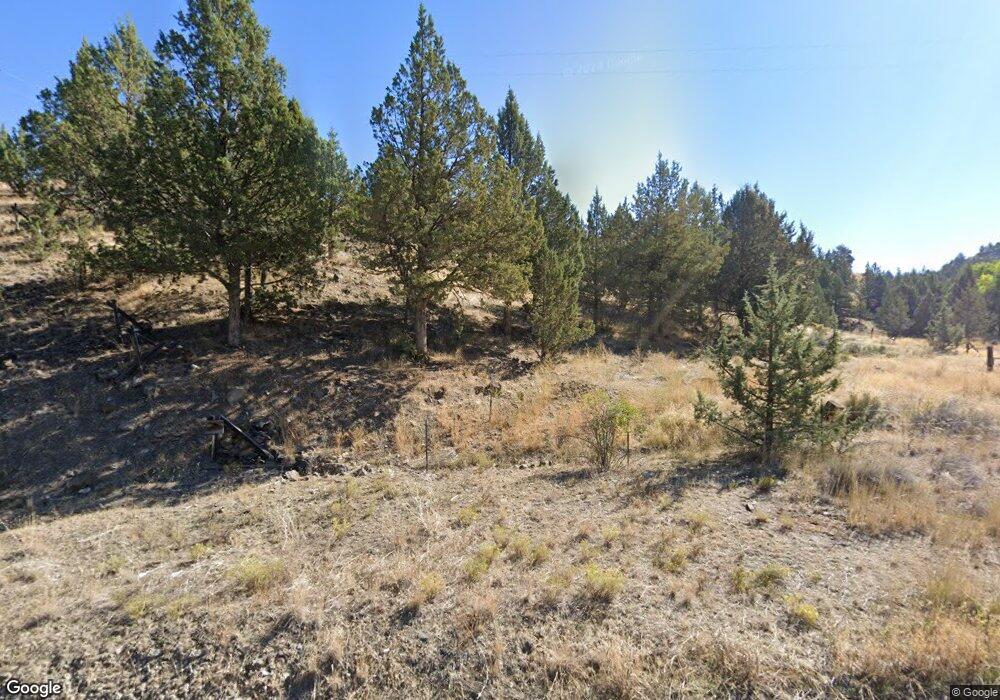
27429 Luce Creek Rd John Day, OR 97845
Estimated Value: $423,000 - $443,000
3
Beds
2
Baths
2,306
Sq Ft
$188/Sq Ft
Est. Value
About This Home
This home is located at 27429 Luce Creek Rd, John Day, OR 97845 and is currently estimated at $432,682, approximately $187 per square foot. 27429 Luce Creek Rd is a home located in Grant County with nearby schools including Grant Union Junior/Senior High School.
Ownership History
Date
Name
Owned For
Owner Type
Purchase Details
Closed on
Sep 29, 2022
Sold by
Grove Charles S and Grove Kimberly R
Bought by
Grove Charles S and Grove Kimberly R
Current Estimated Value
Home Financials for this Owner
Home Financials are based on the most recent Mortgage that was taken out on this home.
Original Mortgage
$363,200
Interest Rate
5.66%
Mortgage Type
New Conventional
Create a Home Valuation Report for This Property
The Home Valuation Report is an in-depth analysis detailing your home's value as well as a comparison with similar homes in the area
Home Values in the Area
Average Home Value in this Area
Purchase History
| Date | Buyer | Sale Price | Title Company |
|---|---|---|---|
| Grove Charles S | -- | Vantage Point Title |
Source: Public Records
Mortgage History
| Date | Status | Borrower | Loan Amount |
|---|---|---|---|
| Previous Owner | Grove Charles S | $363,200 |
Source: Public Records
Tax History Compared to Growth
Tax History
| Year | Tax Paid | Tax Assessment Tax Assessment Total Assessment is a certain percentage of the fair market value that is determined by local assessors to be the total taxable value of land and additions on the property. | Land | Improvement |
|---|---|---|---|---|
| 2024 | $2,121 | $175,185 | $79,179 | $96,006 |
| 2023 | $2,061 | $170,083 | $76,872 | $93,211 |
| 2022 | $2,003 | $165,130 | $66,895 | $98,235 |
| 2021 | $1,946 | $160,321 | $64,945 | $95,376 |
| 2020 | $2,075 | $155,652 | $63,055 | $92,597 |
| 2019 | $2,017 | $151,119 | $61,216 | $89,903 |
| 2018 | $1,958 | $146,718 | $59,435 | $87,283 |
| 2017 | $1,909 | $142,445 | $57,704 | $84,741 |
| 2016 | $1,857 | $138,297 | $49,749 | $88,548 |
| 2015 | $1,741 | $123,698 | $50,474 | $73,224 |
| 2014 | $1,741 | $123,698 | $50,474 | $73,224 |
| 2013 | $1,621 | $120,096 | $44,564 | $75,532 |
Source: Public Records
Map
Nearby Homes
- 27637 La Costa Rd
- 27637 La Costa Ave
- 59920 Highway 26
- 59920 Hwy 26
- 59591 High Ridge Ln
- 0 Industrial Park Rd Unit 24388826
- 0 Industrial Park Rd Unit 24404920
- 0 Industrial Park Rd Unit 220186207
- 0 Industrial Park Rd Unit 220186217
- 0 Industrial Park Rd Unit 220186224
- 0 E Side Ln Unit 201102803
- 0 County Rd 74b Unit 11554207
- 0 Industrial Park Unit 24683015
- 58392 Antelope Ln
- 59720 Highway 26
- 111 Valley View Dr
- 229 Valley View Dr
- 0 SW 4th Ave Unit 24562517
- 227 Valley View Dr
- 219 Valley View Dr
- 0 Luse Creek Unit 18048894
- 59155 Trafton Ln
- 59234 Trafton Ln
- 59138 Gibson Ln
- 27468 La Costa Rd
- 27527 Luce Creek Rd
- 59241 Trafton Ln
- 0 La Costa Dr Unit 11683944
- 59157 Gibson Ln
- 0 La Costa Ave
- 59169 Gibson Ln
- 59169 Gibson Ln
- 0 La Costa St Unit 9090066
- 0 La Costa St Unit 2911052
- 59227 Gibson Ln
- 27637 Lacosta Rd
- 59227 Gibson Ln
- 27408 La Costa Rd
- 60190 Highway 26
- 59229 Gibson Ave
