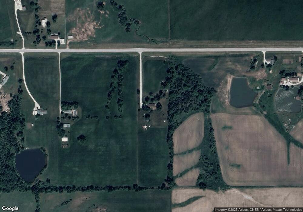
27433 State Highway 11 Kirksville, MO 63501
Estimated Value: $230,000 - $337,320
4
Beds
2
Baths
1,404
Sq Ft
$214/Sq Ft
Est. Value
About This Home
This home is located at 27433 State Highway 11, Kirksville, MO 63501 and is currently estimated at $300,773, approximately $214 per square foot. 27433 State Highway 11 is a home located in Adair County with nearby schools including Kirksville Primary School, Ray Miller Elementary School, and William Matthew Middle School.
Ownership History
Date
Name
Owned For
Owner Type
Purchase Details
Closed on
Oct 5, 2012
Sold by
Kelsey Bobbie L and Kelsey Anita L
Bought by
Young Bradley A and Young Melinda M
Current Estimated Value
Home Financials for this Owner
Home Financials are based on the most recent Mortgage that was taken out on this home.
Original Mortgage
$180,500
Outstanding Balance
$125,226
Interest Rate
3.55%
Mortgage Type
Purchase Money Mortgage
Estimated Equity
$175,547
Create a Home Valuation Report for This Property
The Home Valuation Report is an in-depth analysis detailing your home's value as well as a comparison with similar homes in the area
Home Values in the Area
Average Home Value in this Area
Purchase History
| Date | Buyer | Sale Price | Title Company |
|---|---|---|---|
| Young Bradley A | -- | Adair County Title & Escrow |
Source: Public Records
Mortgage History
| Date | Status | Borrower | Loan Amount |
|---|---|---|---|
| Open | Young Bradley A | $180,500 |
Source: Public Records
Tax History Compared to Growth
Tax History
| Year | Tax Paid | Tax Assessment Tax Assessment Total Assessment is a certain percentage of the fair market value that is determined by local assessors to be the total taxable value of land and additions on the property. | Land | Improvement |
|---|---|---|---|---|
| 2024 | $1,784 | $32,840 | $4,330 | $28,510 |
| 2023 | $1,778 | $32,770 | $4,330 | $28,440 |
| 2022 | $1,778 | $32,770 | $4,330 | $28,440 |
| 2021 | $1,755 | $32,770 | $4,330 | $28,440 |
| 2020 | $1,059 | $30,940 | $1,770 | $29,170 |
| 2019 | $1,016 | $19,380 | $780 | $18,600 |
| 2018 | $1,009 | $19,390 | $790 | $18,600 |
| 2017 | $1,002 | $19,390 | $790 | $18,600 |
| 2016 | $1,000 | $19,390 | $790 | $18,600 |
| 2015 | -- | $19,390 | $790 | $18,600 |
| 2011 | -- | $0 | $0 | $0 |
Source: Public Records
Map
Nearby Homes
- 26831 State Highway 11
- 26474 Steer Creek Way
- 21715 Radical Ridge Way
- 0 Queens Rd
- 2508 Woodwind Ct
- 714 S Cottage Grove Ave
- 1102 S Cottage Grove Ave
- 1801 E La Harpe St
- 2509 Pine Brook Dr
- 1415 E Patterson St
- 1302 E Pierce St
- 2503 Pine Brook Dr
- 1204 E Illinois St
- 1806 S Cottage Grove Place
- 1216 E Alexander
- 1309 Kings Rd
- 1005 E Normal Ave
- 1302 Queens Ct
- 909 E Mcpherson St
- 908 E Missouri St
- 27279 State Highway 11
- 27207 State Highway 11
- 27268 State Highway 11
- 27667 State Highway 11
- 27743 State Highway 11
- 27206 State Highway 11
- 27135 Missouri 11
- 27007 State Highway 11
- 20675 Willis Way
- 20678 Willis Way
- 20200 Strawberry Way
- 20698 Willis Way
- 27286 Patterson Way
- 26832 State Highway 11
- 27202 Burton Ln
- 27636 Patterson Way
- 27202 Burton Way
- 27764 Patterson Way
- 26820 State Highway 11
- 27375 Patterson Way
