2744 Queensberry Dr Huntingtown, MD 20639
Estimated Value: $636,875 - $744,000
--
Bed
3
Baths
3,008
Sq Ft
$227/Sq Ft
Est. Value
About This Home
This home is located at 2744 Queensberry Dr, Huntingtown, MD 20639 and is currently estimated at $683,969, approximately $227 per square foot. 2744 Queensberry Dr is a home located in Calvert County with nearby schools including Calvert Elementary School, Plum Point Middle School, and Huntingtown High School.
Ownership History
Date
Name
Owned For
Owner Type
Purchase Details
Closed on
Jun 30, 2005
Sold by
Kaine Inc & Alex & Er Realty Inc
Bought by
Johnson Michael and Johnson Julie
Current Estimated Value
Home Financials for this Owner
Home Financials are based on the most recent Mortgage that was taken out on this home.
Original Mortgage
$516,700
Outstanding Balance
$269,227
Interest Rate
5.73%
Mortgage Type
Construction
Estimated Equity
$414,742
Purchase Details
Closed on
Jun 24, 2005
Sold by
Kaine Inc
Bought by
Johnson Michael and Johnson Julie
Home Financials for this Owner
Home Financials are based on the most recent Mortgage that was taken out on this home.
Original Mortgage
$516,700
Outstanding Balance
$269,227
Interest Rate
5.73%
Mortgage Type
Construction
Estimated Equity
$414,742
Create a Home Valuation Report for This Property
The Home Valuation Report is an in-depth analysis detailing your home's value as well as a comparison with similar homes in the area
Home Values in the Area
Average Home Value in this Area
Purchase History
| Date | Buyer | Sale Price | Title Company |
|---|---|---|---|
| Johnson Michael | $150,000 | -- | |
| Johnson Michael | $150,000 | Brennan Title Co |
Source: Public Records
Mortgage History
| Date | Status | Borrower | Loan Amount |
|---|---|---|---|
| Open | Johnson Michael | $516,700 | |
| Closed | Johnson Michael | -- |
Source: Public Records
Tax History Compared to Growth
Tax History
| Year | Tax Paid | Tax Assessment Tax Assessment Total Assessment is a certain percentage of the fair market value that is determined by local assessors to be the total taxable value of land and additions on the property. | Land | Improvement |
|---|---|---|---|---|
| 2025 | $5,726 | $510,100 | $0 | $0 |
| 2024 | $5,315 | $472,500 | $130,300 | $342,200 |
| 2023 | $5,005 | $461,100 | $0 | $0 |
| 2022 | $4,883 | $449,700 | $0 | $0 |
| 2021 | $4,669 | $438,300 | $130,300 | $308,000 |
| 2020 | $4,669 | $427,600 | $0 | $0 |
| 2019 | $4,575 | $416,900 | $0 | $0 |
| 2018 | $4,450 | $406,200 | $130,300 | $275,900 |
| 2017 | $4,416 | $397,567 | $0 | $0 |
| 2016 | -- | $388,933 | $0 | $0 |
| 2015 | $4,777 | $380,300 | $0 | $0 |
| 2014 | $4,777 | $380,300 | $0 | $0 |
Source: Public Records
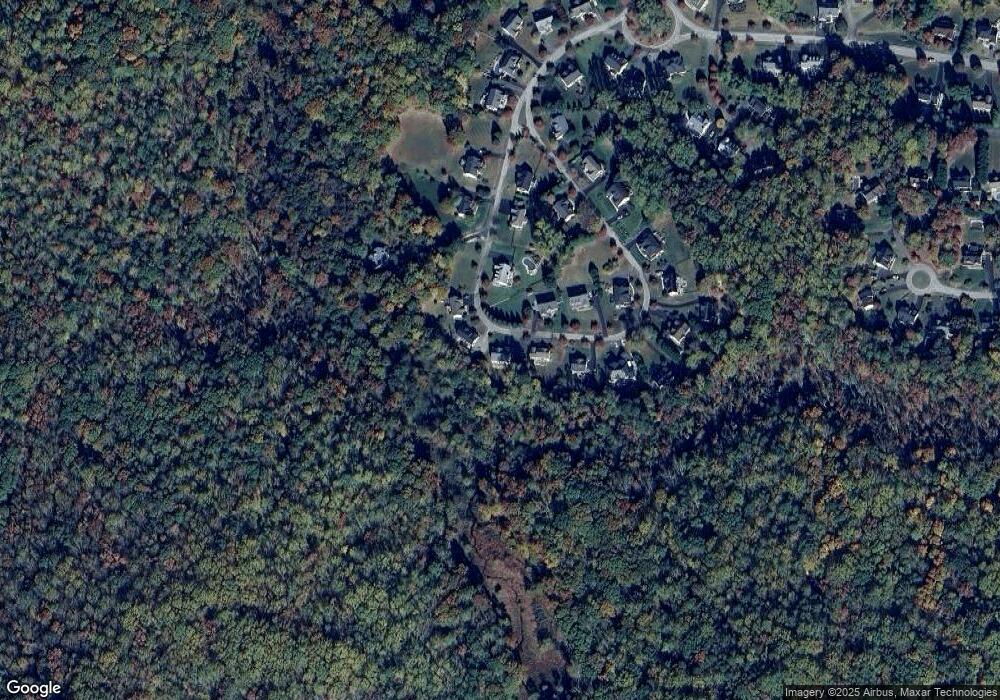
Map
Nearby Homes
- 1070 Claypipe Dr
- 1412 Bidwell Ln
- 1425 Abbey Ln
- 3120 Queensberry Dr
- 1719 Lottie Fowler Rd
- 1755 Lottie Fowler Rd
- 1270 Hollyberry Ct
- 490 Clay Hammond Rd
- 2045 Mount Pleasant Way
- 3707 Cassell Blvd
- 1340 Wilson Rd
- 2920 Dares Beach Rd
- 1975 Dares Beach Rd
- 3605 Samanthas Way
- 1755 Dares Beach Rd
- 4308 N Shore Dr
- 4105 Crest Dr
- 4329 Flora Ave
- 4341 Flora Ave
- 1955 Wilson Rd
- 2740 Queensberry Dr
- 2748 Queensberry Dr
- 2739 Queensberry Dr
- 2752 Queensberry Dr
- 2736 Queensberry Dr
- 2753 Queensberry Dr
- 2735 Queensberry Dr
- 2756 Queensberry Dr
- 2719 Queensberry Dr
- 2759 Queensberry Dr
- 2728 Queensberry Dr
- 2705 Queensberry Dr
- 2760 Queensberry Dr
- 2724 Queensberry Dr
- 2716 Queensberry Dr
- 2765 Queensberry Dr
- 2712 Queensberry Dr
- 2708 Queensberry Dr
- 2768 Queensberry Dr
- 2720 Queensberry Dr