2745 Lester Rd Nesbit, MS 38651
Pleasant Hill NeighborhoodEstimated Value: $675,000 - $1,119,737
5
Beds
5
Baths
6,750
Sq Ft
$130/Sq Ft
Est. Value
About This Home
This home is located at 2745 Lester Rd, Nesbit, MS 38651 and is currently estimated at $879,934, approximately $130 per square foot. 2745 Lester Rd is a home located in DeSoto County with nearby schools including DeSoto Central Primary School, DeSoto Central Elementary School, and DeSoto Central Middle School.
Ownership History
Date
Name
Owned For
Owner Type
Purchase Details
Closed on
Dec 30, 2008
Sold by
Paxton Lisa and Paxton Timothy L
Bought by
Williams Cynthia K
Current Estimated Value
Create a Home Valuation Report for This Property
The Home Valuation Report is an in-depth analysis detailing your home's value as well as a comparison with similar homes in the area
Home Values in the Area
Average Home Value in this Area
Purchase History
| Date | Buyer | Sale Price | Title Company |
|---|---|---|---|
| Williams Cynthia K | -- | None Available |
Source: Public Records
Tax History
| Year | Tax Paid | Tax Assessment Tax Assessment Total Assessment is a certain percentage of the fair market value that is determined by local assessors to be the total taxable value of land and additions on the property. | Land | Improvement |
|---|---|---|---|---|
| 2025 | $6,780 | $84,798 | $4,550 | $80,248 |
| 2024 | $5,721 | $59,624 | $4,550 | $55,074 |
| 2023 | $5,721 | $59,624 | $0 | $0 |
| 2022 | $5,721 | $59,624 | $4,550 | $55,074 |
| 2021 | $5,721 | $59,624 | $4,550 | $55,074 |
| 2020 | $5,282 | $55,280 | $4,550 | $50,730 |
| 2019 | $5,282 | $55,280 | $4,550 | $50,730 |
| 2017 | $5,432 | $108,164 | $56,357 | $51,807 |
| 2016 | $5,432 | $56,357 | $4,550 | $51,807 |
| 2015 | $5,732 | $108,164 | $56,357 | $51,807 |
| 2014 | $5,375 | $56,357 | $0 | $0 |
| 2013 | $5,530 | $56,357 | $0 | $0 |
Source: Public Records
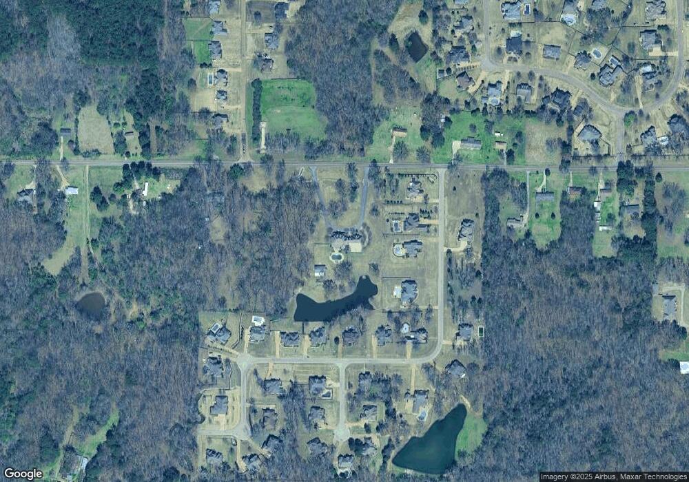
Map
Nearby Homes
- 1768 Linden Dr
- 3456 Susie Cir
- 401 Getwell Rd
- 403 Getwell Rd
- 3040 Highground Dr
- 3060 Highground Dr
- 3491 Hatton Dr
- 3250 W Hartland Dr
- 2768 Black Rock Rd
- 3505 Kreunen St
- 2255 Highground Dr
- 2239 Highground Dr
- 3621 Hatton Dr
- 1777 Starlanding Rd E
- 2919 S Cherry Dr
- 2225 Highground Dr
- 2195 Highground Dr
- 3622 Hatton Dr
- 3617 Kreunen St
- 3631 Kreunen St
- 1963 Radley Rd
- 1921 Radley Rd
- 1979 Radley Rd
- 1889 Radley Rd
- 2630 Atticus Ln
- 2656 Atticus Ln
- 2682 Atticus Ln
- 2602 Atticus Ln
- 1885 Radley Rd
- 1854 Radley Rd
- 1919 Radley Rd
- 1951 Radley Rd
- 1855 Radley Rd
- 27 Legends Dr
- 2576 Atticus Ln
- 2626 Atticus Ln
- 1806 Atticus Ln
- 2589 Atticus Ln
- 1826 Atticus Ln
- 2559 Atticus Ln
Your Personal Tour Guide
Ask me questions while you tour the home.