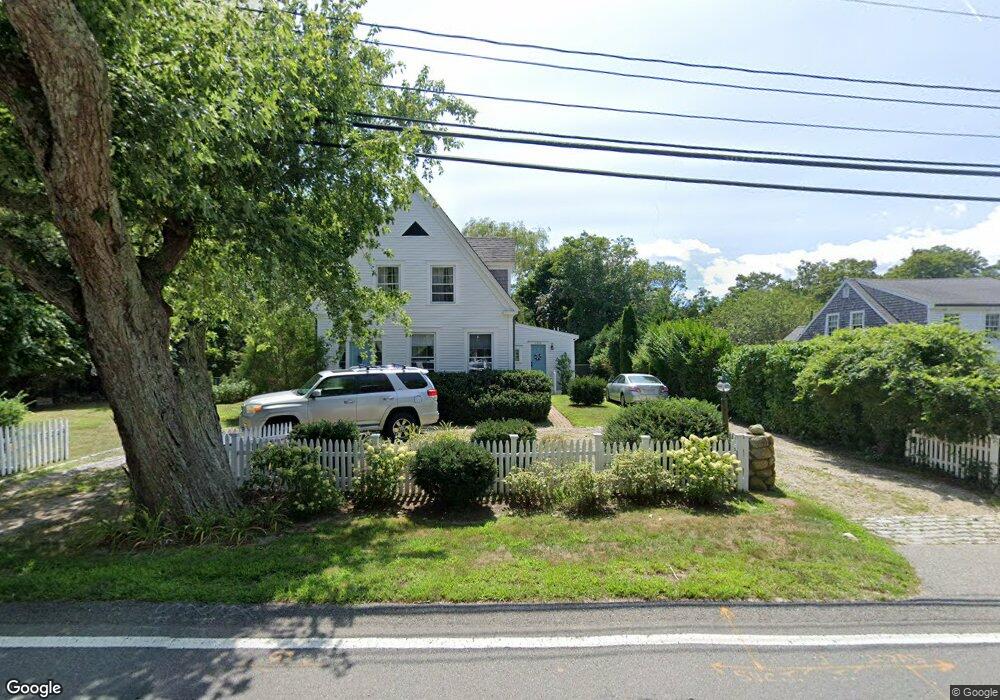
2745 Main St Barnstable, MA 02630
Barnstable Village NeighborhoodEstimated Value: $972,215 - $1,461,000
3
Beds
2
Baths
2,009
Sq Ft
$617/Sq Ft
Est. Value
About This Home
This home is located at 2745 Main St, Barnstable, MA 02630 and is currently estimated at $1,240,304, approximately $617 per square foot. 2745 Main St is a home located in Barnstable County with nearby schools including West Barnstable Elementary School, Barnstable United Elementary School, and Barnstable Intermediate School.
Ownership History
Date
Name
Owned For
Owner Type
Purchase Details
Closed on
Jul 13, 2021
Sold by
Rizzoli Hugo V and Eron Carol L
Bought by
Barnhouse Cape Cod Rt
Current Estimated Value
Purchase Details
Closed on
Jul 18, 2008
Sold by
Farrell Brian D
Bought by
Eron Carol L
Purchase Details
Closed on
Jul 10, 2001
Sold by
Davis Mararet R
Bought by
Farrell Brian D
Home Financials for this Owner
Home Financials are based on the most recent Mortgage that was taken out on this home.
Original Mortgage
$180,000
Interest Rate
7.21%
Mortgage Type
Purchase Money Mortgage
Purchase Details
Closed on
Sep 16, 1994
Bought by
Davis Robert C
Home Financials for this Owner
Home Financials are based on the most recent Mortgage that was taken out on this home.
Original Mortgage
$125,600
Interest Rate
8.38%
Mortgage Type
Purchase Money Mortgage
Create a Home Valuation Report for This Property
The Home Valuation Report is an in-depth analysis detailing your home's value as well as a comparison with similar homes in the area
Home Values in the Area
Average Home Value in this Area
Purchase History
| Date | Buyer | Sale Price | Title Company |
|---|---|---|---|
| Barnhouse Cape Cod Rt | -- | None Available | |
| Eron Carol L | $535,000 | -- | |
| Farrell Brian D | $355,000 | -- | |
| Davis Robert C | $157,000 | -- |
Source: Public Records
Mortgage History
| Date | Status | Borrower | Loan Amount |
|---|---|---|---|
| Previous Owner | Davis Robert C | $180,000 | |
| Previous Owner | Davis Robert C | $150,000 | |
| Previous Owner | Davis Robert C | $180,000 | |
| Previous Owner | Davis Robert C | $125,600 |
Source: Public Records
Tax History
| Year | Tax Paid | Tax Assessment Tax Assessment Total Assessment is a certain percentage of the fair market value that is determined by local assessors to be the total taxable value of land and additions on the property. | Land | Improvement |
|---|---|---|---|---|
| 2025 | $7,173 | $776,300 | $341,400 | $434,900 |
| 2024 | $6,815 | $778,000 | $341,400 | $436,600 |
| 2023 | $6,198 | $690,200 | $317,400 | $372,800 |
| 2022 | $5,914 | $529,900 | $219,500 | $310,400 |
| 2021 | $5,855 | $500,000 | $240,400 | $259,600 |
| 2020 | $5,645 | $460,400 | $240,400 | $220,000 |
| 2019 | $5,470 | $447,600 | $250,800 | $196,800 |
| 2018 | $5,175 | $411,400 | $253,000 | $158,400 |
| 2017 | $5,044 | $403,500 | $253,000 | $150,500 |
| 2016 | $4,830 | $391,700 | $255,300 | $136,400 |
| 2015 | $4,947 | $408,500 | $249,200 | $159,300 |
Source: Public Records
Map
Nearby Homes
- 69 Allyn Ln
- 2656 Main St
- 93 Harris Meadow Ln
- 11 Shepherds Way
- 0 Indian Trail
- 34 Black Duck Ln
- 3528 Main St
- 0 Phinneys Ln
- 210 Attucks Ln
- 230 Attucks Ln
- 5 Chickadee Ln
- 30 Indian Trail
- 79 Bayberry Ln
- 41 Dromoland Ln
- 800 Bearses Way Unit 2SB
- 800 Bearses Way Unit 3NF
- 800 Bearses Way Unit 5NB
- 800 Bearses Way Unit 5NB
- 44 Iris Ln
- 282 Parker Rd
- 2745 Main St
- 2755 Main St
- 2735 Main St
- 2727 Main St
- 158 Governors Way
- 2723 Main St
- 2723 Main St
- 2760 Main St
- 2730 Main St Rte 6a (Barn )
- 144 Governors Way
- 11 Allyn Ln
- 2730 Main St Unit B
- 2730 Main St Unit A
- 2730 Main St
- 2771 Main St
- 2771 Main St
- 2715 Main St
- 141 Governors Way
- 2725 Main St
- 126 Governors Way
Your Personal Tour Guide
Ask me questions while you tour the home.