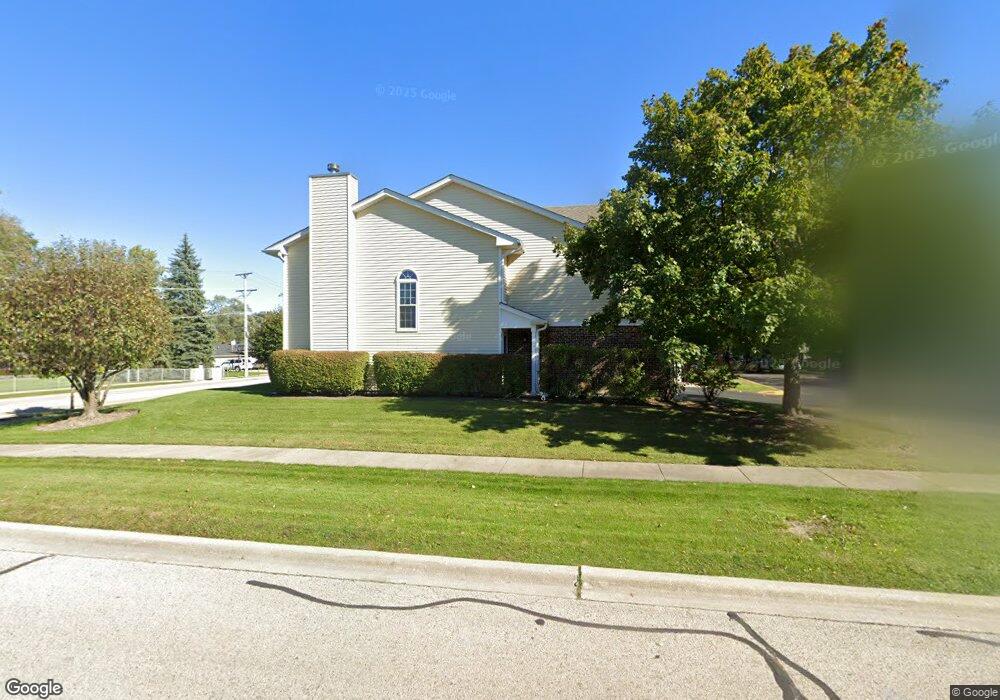
275 11th St Wheeling, IL 60090
Estimated Value: $332,526 - $373,000
3
Beds
3
Baths
1,536
Sq Ft
$226/Sq Ft
Est. Value
About This Home
This home is located at 275 11th St, Wheeling, IL 60090 and is currently estimated at $346,632, approximately $225 per square foot. 275 11th St is a home located in Cook County with nearby schools including Eugene Field Elementary School, Jack London Middle School, and Wheeling High School.
Ownership History
Date
Name
Owned For
Owner Type
Purchase Details
Closed on
Mar 3, 2012
Sold by
Pestell Florence
Bought by
Florence I Pestell Trust
Current Estimated Value
Purchase Details
Closed on
Jun 26, 2006
Sold by
Huls Keith M and Huls Adri A
Bought by
Pestell Florence
Purchase Details
Closed on
Mar 12, 2002
Sold by
Walter Christine D
Bought by
Huls Keith M and Huls Adri A
Home Financials for this Owner
Home Financials are based on the most recent Mortgage that was taken out on this home.
Original Mortgage
$179,450
Interest Rate
6.95%
Create a Home Valuation Report for This Property
The Home Valuation Report is an in-depth analysis detailing your home's value as well as a comparison with similar homes in the area
Home Values in the Area
Average Home Value in this Area
Purchase History
| Date | Buyer | Sale Price | Title Company |
|---|---|---|---|
| Florence I Pestell Trust | -- | None Available | |
| Pestell Florence | $260,000 | Multiple | |
| Huls Keith M | -- | 1St American Title |
Source: Public Records
Mortgage History
| Date | Status | Borrower | Loan Amount |
|---|---|---|---|
| Previous Owner | Huls Keith M | $179,450 |
Source: Public Records
Tax History
| Year | Tax Paid | Tax Assessment Tax Assessment Total Assessment is a certain percentage of the fair market value that is determined by local assessors to be the total taxable value of land and additions on the property. | Land | Improvement |
|---|---|---|---|---|
| 2025 | $3,384 | $25,000 | $3,398 | $21,602 |
| 2024 | $3,384 | $21,831 | $4,500 | $17,331 |
| 2023 | $3,330 | $21,831 | $4,500 | $17,331 |
| 2022 | $3,330 | $21,831 | $4,500 | $17,331 |
| 2021 | $3,758 | $18,577 | $751 | $17,826 |
| 2020 | $3,410 | $18,577 | $751 | $17,826 |
| 2019 | $3,423 | $20,780 | $751 | $20,029 |
| 2018 | $4,512 | $19,235 | $653 | $18,582 |
| 2017 | $3,675 | $20,762 | $653 | $20,109 |
| 2016 | $4,339 | $20,762 | $653 | $20,109 |
| 2015 | $4,868 | $18,203 | $555 | $17,648 |
| 2014 | $4,650 | $18,203 | $555 | $17,648 |
| 2013 | $4,395 | $18,203 | $555 | $17,648 |
Source: Public Records
Map
Nearby Homes
- 266 12th St Unit 3
- 271 Northgate Pkwy Unit 1B
- 195 7th St
- 62 Mayer Ave
- 429 6th St
- 28 Legacy Ln
- 45 Prairie Park Dr Unit 501
- 21 Northfield Terrace Unit 21
- 127 N Wolf Rd Unit 60A
- 40 Prairie Park Dr Unit 707
- 100 Deborah Ln Unit 16A
- 822 Colonial Dr Unit B
- 231 E Wayne Place
- 842 Colonial Dr Unit B
- 190 N Milwaukee Ave Unit 3604
- 665 Cindy Ln
- 302 Linden Ln
- 148 Wilshire Dr
- 920 Valley Stream Dr
- 274 Prairie View Ln
Your Personal Tour Guide
Ask me questions while you tour the home.