275 Center Point Dr Montezuma, IA 50171
Estimated Value: $529,792 - $941,000
4
Beds
3
Baths
3,856
Sq Ft
$167/Sq Ft
Est. Value
About This Home
This home is located at 275 Center Point Dr, Montezuma, IA 50171 and is currently estimated at $645,448, approximately $167 per square foot. 275 Center Point Dr is a home located in Poweshiek County with nearby schools including Montezuma Elementary School and Montezuma Junior High School.
Ownership History
Date
Name
Owned For
Owner Type
Purchase Details
Closed on
Feb 13, 2024
Sold by
Hubbard Adam D and Hubbard Abby L
Bought by
Mcfarland Ryan and Mcfarland Dana
Current Estimated Value
Home Financials for this Owner
Home Financials are based on the most recent Mortgage that was taken out on this home.
Original Mortgage
$418,732
Outstanding Balance
$411,346
Interest Rate
6.62%
Mortgage Type
Purchase Money Mortgage
Estimated Equity
$234,102
Purchase Details
Closed on
May 4, 2018
Sold by
Cocking James R and Cocking Mary L
Bought by
Hubbard Adam D and Hubbard Abby L
Home Financials for this Owner
Home Financials are based on the most recent Mortgage that was taken out on this home.
Original Mortgage
$250,000
Interest Rate
4.4%
Mortgage Type
New Conventional
Create a Home Valuation Report for This Property
The Home Valuation Report is an in-depth analysis detailing your home's value as well as a comparison with similar homes in the area
Home Values in the Area
Average Home Value in this Area
Purchase History
| Date | Buyer | Sale Price | Title Company |
|---|---|---|---|
| Mcfarland Ryan | $480,500 | None Listed On Document | |
| Hubbard Adam D | $320,000 | -- |
Source: Public Records
Mortgage History
| Date | Status | Borrower | Loan Amount |
|---|---|---|---|
| Open | Mcfarland Ryan | $418,732 | |
| Previous Owner | Hubbard Adam D | $250,000 |
Source: Public Records
Tax History Compared to Growth
Tax History
| Year | Tax Paid | Tax Assessment Tax Assessment Total Assessment is a certain percentage of the fair market value that is determined by local assessors to be the total taxable value of land and additions on the property. | Land | Improvement |
|---|---|---|---|---|
| 2025 | $4,780 | $506,880 | $114,730 | $392,150 |
| 2024 | $4,958 | $502,250 | $114,510 | $387,740 |
| 2023 | $4,520 | $502,250 | $114,510 | $387,740 |
| 2022 | $4,556 | $384,700 | $77,650 | $307,050 |
| 2021 | $4,556 | $362,920 | $73,250 | $289,670 |
| 2020 | $4,138 | $321,800 | $62,600 | $259,200 |
| 2019 | $3,930 | $311,440 | $52,240 | $259,200 |
| 2018 | $3,704 | $291,930 | $39,800 | $252,130 |
| 2017 | $3,678 | $291,930 | $39,800 | $252,130 |
| 2016 | $3,622 | $289,740 | $31,190 | $258,550 |
| 2015 | $3,622 | $289,740 | $31,190 | $258,550 |
| 2014 | $3,582 | $289,740 | $31,190 | $258,550 |
Source: Public Records
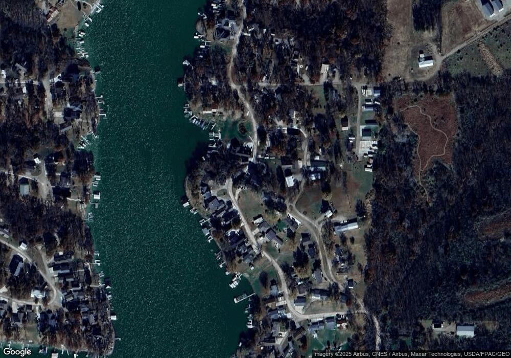
Map
Nearby Homes
- 276 Center Point Dr
- 312 Center Point Dr
- 226 & 228 Center Point Dr
- 148 Valley Rd
- 103 Elm Rd
- 171 Valley Rd
- 169 Woodland Rd Unit 21 Lot 11
- 4854 103rd St
- 146 Scenic Dr
- 101 Canyon Rd
- 144 Center Point Dr
- 106 110 Orchard Rd
- 161 Hillcrest Ridge
- 134 Horseshoe Dr
- 147 Hillcrest Ridge
- 251 Whippoorwill Rd
- 103 S Shore Dr
- 120 Falcon Dr
- 199 Eastside Ln
- 110 Cottage Ln
- 275 Center Point Dr
- 281 Center Point Dr
- 120 Lakeview Dr
- 274 Center Point Dr
- 269 Center Point Dr
- 116 Lakeview Dr
- 288 Center Point Dr
- 112 Lakeview Dr
- 268 Center Point Dr
- 295 Center Point Dr
- 122 Lakeview Dr
- 267 Center Point Dr
- 290 Center Point Dr
- 110 Lakeview Dr
- 278 Center Point Dr
- 297 Center Point Dr
- 108 Lakeview Dr
- 286 Center Point Dr
- 282 Center Point Dr
- 106 Lakeview Dr