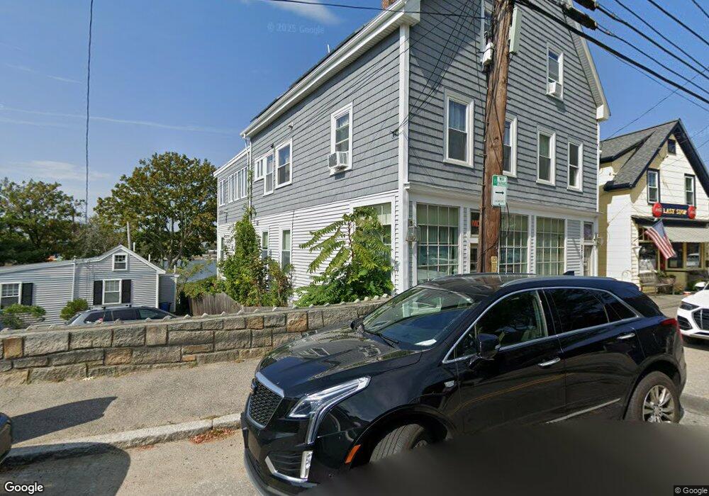
275 E Main St Gloucester, MA 01930
East Gloucester NeighborhoodEstimated Value: $1,112,363
5
Beds
4
Baths
3,745
Sq Ft
$297/Sq Ft
Est. Value
About This Home
This home is located at 275 E Main St, Gloucester, MA 01930 and is currently estimated at $1,112,363, approximately $297 per square foot. 275 E Main St is a home located in Essex County with nearby schools including East Gloucester Elementary School, Ralph B O'maley Middle School, and Gloucester High School.
Ownership History
Date
Name
Owned For
Owner Type
Purchase Details
Closed on
Oct 29, 1998
Sold by
Brown Ruth A
Bought by
Pearce Thomas
Current Estimated Value
Home Financials for this Owner
Home Financials are based on the most recent Mortgage that was taken out on this home.
Original Mortgage
$244,000
Interest Rate
6.68%
Mortgage Type
Commercial
Create a Home Valuation Report for This Property
The Home Valuation Report is an in-depth analysis detailing your home's value as well as a comparison with similar homes in the area
Home Values in the Area
Average Home Value in this Area
Purchase History
| Date | Buyer | Sale Price | Title Company |
|---|---|---|---|
| Pearce Thomas | $276,500 | -- |
Source: Public Records
Mortgage History
| Date | Status | Borrower | Loan Amount |
|---|---|---|---|
| Open | Pearce Thomas | $380,000 | |
| Closed | Pearce Thomas | $90,000 | |
| Closed | Pearce Thomas | $324,000 | |
| Closed | Pearce Thomas | $244,000 |
Source: Public Records
Tax History
| Year | Tax Paid | Tax Assessment Tax Assessment Total Assessment is a certain percentage of the fair market value that is determined by local assessors to be the total taxable value of land and additions on the property. | Land | Improvement |
|---|---|---|---|---|
| 2025 | $6,622 | $681,300 | $267,700 | $413,600 |
| 2024 | $5,362 | $659,900 | $254,800 | $405,100 |
| 2023 | $0 | $627,000 | $227,600 | $399,400 |
| 2022 | $0 | $540,200 | $197,900 | $342,300 |
| 2021 | $0 | $465,200 | $179,900 | $285,300 |
| 2020 | $5,362 | $434,900 | $169,600 | $265,300 |
| 2019 | $0 | $432,000 | $169,600 | $262,400 |
| 2018 | $0 | $426,300 | $169,600 | $256,700 |
| 2017 | $0 | $415,500 | $161,600 | $253,900 |
| 2016 | -- | $407,200 | $153,300 | $253,900 |
| 2015 | -- | $407,200 | $153,300 | $253,900 |
Source: Public Records
Map
Nearby Homes
- 1 Wonson St
- 73 Rocky Neck Ave Unit 2
- 15 Raven Ln Unit 15
- 60 Rocky Neck Ave Unit 202
- 197 E Main St Unit 1
- 10 Seaview Rd
- 11 Ocean View Dr
- 191 Main St Unit 3
- 191 Main St Unit 2A
- 35 Middle St Unit 4
- 33 Middle St
- 139A Prospect St
- 3 Mondello Square
- 15 Mount Vernon St
- 36 Eastern Ave
- 87 Atlantic Rd Unit 2
- 113 Pleasant St
- 33 Maplewood Ave Unit 310
- 50 Warner St
- 20 Beacon St
- 273R E Main St
- 273 E Main St
- 4 Fisherman Way Unit 2
- 4 Fisherman Way Unit 1
- 3 Fisherman Way
- 281 E Main St
- 269 E Main St
- 269 E Main St Unit 1
- 3 Fisherman Way
- 3 Fisherman Way
- 8 Fisherman Way
- 10 Fisherman Way
- 248 E Main St
- 250 E Main St
- 283 E Main St
- 267 E Main St Unit R
- 267 E Main St Unit G
- 164 Mount Pleasant Ave
- 252 E Main St
- 285 E Main St
Your Personal Tour Guide
Ask me questions while you tour the home.