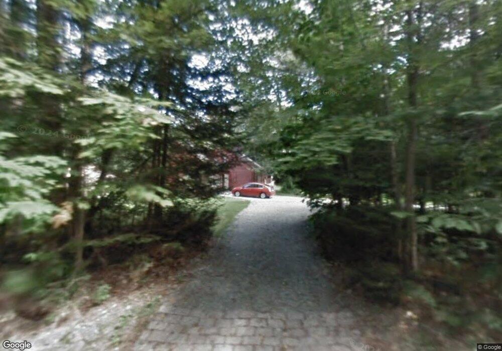
275 General Miller Rd Peterborough, NH 03458
Estimated Value: $586,448 - $645,000
3
Beds
2
Baths
2,098
Sq Ft
$297/Sq Ft
Est. Value
About This Home
This home is located at 275 General Miller Rd, Peterborough, NH 03458 and is currently estimated at $623,149, approximately $297 per square foot. 275 General Miller Rd is a home with nearby schools including Peterborough Elementary School, South Meadow School, and Conval Regional High School.
Ownership History
Date
Name
Owned For
Owner Type
Purchase Details
Closed on
Sep 15, 2006
Sold by
Trenoweth Arthur W and Trenoweth Sharon M
Bought by
Kane James M and Kane Mary Ellen
Current Estimated Value
Home Financials for this Owner
Home Financials are based on the most recent Mortgage that was taken out on this home.
Original Mortgage
$296,000
Interest Rate
6.71%
Mortgage Type
Purchase Money Mortgage
Purchase Details
Closed on
Oct 1, 1997
Sold by
Schilling Kin
Bought by
Trenoweth Arthur W and Trenoweth Sharon M
Create a Home Valuation Report for This Property
The Home Valuation Report is an in-depth analysis detailing your home's value as well as a comparison with similar homes in the area
Home Values in the Area
Average Home Value in this Area
Purchase History
| Date | Buyer | Sale Price | Title Company |
|---|---|---|---|
| Kane James M | $370,000 | -- | |
| Trenoweth Arthur W | $142,000 | -- |
Source: Public Records
Mortgage History
| Date | Status | Borrower | Loan Amount |
|---|---|---|---|
| Open | Trenoweth Arthur W | $10,000 | |
| Open | Trenoweth Arthur W | $272,302 | |
| Closed | Trenoweth Arthur W | $298,000 | |
| Closed | Trenoweth Arthur W | $296,000 |
Source: Public Records
Tax History Compared to Growth
Tax History
| Year | Tax Paid | Tax Assessment Tax Assessment Total Assessment is a certain percentage of the fair market value that is determined by local assessors to be the total taxable value of land and additions on the property. | Land | Improvement |
|---|---|---|---|---|
| 2024 | $12,623 | $388,400 | $108,500 | $279,900 |
| 2023 | $10,949 | $388,400 | $108,500 | $279,900 |
| 2022 | $10,044 | $388,400 | $108,500 | $279,900 |
| 2021 | $10,005 | $388,400 | $108,500 | $279,900 |
| 2020 | $9,271 | $300,600 | $76,500 | $224,100 |
| 2019 | $8,943 | $300,600 | $76,500 | $224,100 |
| 2018 | $9,045 | $300,600 | $76,500 | $224,100 |
| 2017 | $7,843 | $249,300 | $59,500 | $189,800 |
| 2016 | $7,954 | $257,900 | $59,500 | $198,400 |
| 2015 | $7,662 | $257,900 | $59,500 | $198,400 |
Source: Public Records
Map
Nearby Homes
- 215 General Miller Rd
- 78 Old Greenfield Rd
- 18 Colonial Square
- 77 Hancock Rd
- 42 Blueberry Ln
- 27 Trails Edge Commons
- 205 Southfield Ln
- 37 Ashlee Dr
- 21 Eastridge Dr
- 18 W Ridge Dr
- 282 Carley Rd
- 13 Westridge Dr Unit 13
- 311 Old Street Rd
- 39 Lucy Ln
- 8 Lucy Ln
- 37 Lucy Ln
- 47 Lucy Ln
- 49 Lucy Ln
- 51 Lucy Ln
- 206 Carley Rd
- 278 General Miller Rd
- 265 General Miller Rd
- 264 General Miller Rd
- 254 General Miller Rd
- 395 Old Greenfield Rd
- 245 General Miller Rd
- 366 Old Greenfield Rd
- 411 Old Greenfield Rd
- 341 Old Greenfield Rd
- 240 General Miller Rd
- 420 Old Greenfield Rd
- 329 Old Greenfield Rd
- 220 General Miller Rd
- 558a Old Greenfield Rd
- 562 Old Greenfield Rd
- 558 Old Greenfield Rd
- 436 Old Greenfield Rd
- 313 Old Greenfield Rd
- 205 General Miller Rd
- 450 Old Greenfield Rd