275 Henson Gap Rd Soddy Daisy, TN 37379
Estimated Value: $450,000 - $860,987
--
Bed
1
Bath
2,618
Sq Ft
$244/Sq Ft
Est. Value
About This Home
This home is located at 275 Henson Gap Rd, Soddy Daisy, TN 37379 and is currently estimated at $638,497, approximately $243 per square foot. 275 Henson Gap Rd is a home located in Sequatchie County with nearby schools including Griffith Elementary School, Sequatchie County Middle School, and Sequatchie County High School.
Ownership History
Date
Name
Owned For
Owner Type
Purchase Details
Closed on
Mar 22, 2006
Bought by
Pendergraft Robert and Wife Cynthia J Garner-Pendergra
Current Estimated Value
Purchase Details
Closed on
Sep 3, 2002
Sold by
Pendergraft Cynthia J
Bought by
Robert Pendergraft
Purchase Details
Closed on
Oct 4, 1996
Bought by
Robert Pendergraft
Create a Home Valuation Report for This Property
The Home Valuation Report is an in-depth analysis detailing your home's value as well as a comparison with similar homes in the area
Home Values in the Area
Average Home Value in this Area
Purchase History
| Date | Buyer | Sale Price | Title Company |
|---|---|---|---|
| Pendergraft Robert | -- | -- | |
| Robert Pendergraft | -- | -- | |
| Robert Pendergraft | $175,200 | -- |
Source: Public Records
Tax History Compared to Growth
Tax History
| Year | Tax Paid | Tax Assessment Tax Assessment Total Assessment is a certain percentage of the fair market value that is determined by local assessors to be the total taxable value of land and additions on the property. | Land | Improvement |
|---|---|---|---|---|
| 2025 | $1,640 | $89,300 | $0 | $0 |
| 2024 | $1,640 | $89,300 | $24,975 | $64,325 |
| 2023 | $1,640 | $89,300 | $24,975 | $64,325 |
| 2022 | $1,469 | $60,150 | $20,425 | $39,725 |
| 2021 | $1,399 | $57,275 | $20,425 | $36,850 |
| 2020 | $1,399 | $57,275 | $20,425 | $36,850 |
| 2019 | $1,399 | $57,275 | $20,425 | $36,850 |
| 2018 | $1,399 | $57,275 | $20,425 | $36,850 |
| 2017 | $1,399 | $57,275 | $20,425 | $36,850 |
| 2016 | $1,232 | $47,950 | $17,625 | $30,325 |
| 2015 | $1,292 | $50,300 | $17,625 | $32,675 |
| 2014 | $1,292 | $50,300 | $17,625 | $32,675 |
Source: Public Records
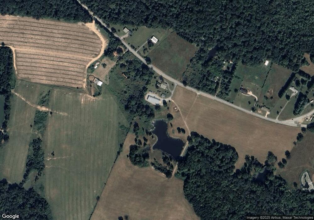
Map
Nearby Homes
- 112 Henson Gap Rd
- 100 Henson Gap Rd
- 2996 Mowbray Pike
- 3087 Poe Rd
- 3069 Poe Rd
- 3057 Poe Rd
- 2907 Mowbray Pike
- 2740 Mowbray Pike
- 2748 Mowbray Pike
- 2664 Mowbray Pike
- 2796 Mowbray Pike
- 2772 Mowbray Pike
- 3075 Poe Rd
- 10600 Skyridge Trail
- 2322 Mowbray Pike
- Highway 111
- 4 Henson Gap Rd
- 8957 Big Bend Rd
- 2419 Welch Rd
- 9963 Huckleberry Ln
- 377 Henson Gap Rd
- 0 Mowbray Pike Unit 1276070
- 0 Mowbray Pike Unit 1276068
- 0 Mowbray Pike Unit 1261332
- 0 Mowbray Pike Unit 1261334
- 0 Mowbray Pike Unit RTC2730725
- 0 Mowbray Pike Unit RTC2334665
- 0 Mowbray Pike Unit RTC2330731
- 0 Mowbray Pike Unit RTC2730724
- 0 Mowbray Pike Unit RTC2714384
- 0 Mowbray Pike Unit RTC2611017
- 0 Mowbray Pike Unit 1372841
- 0 Mowbray Pike Unit 1289325
- 0 Mowbray Pike Unit 1231868
- 0 Mowbray Pike Unit 1131662
- 0 Mowbray Pike Unit 1112525
- 0 Mowbray Pike Unit RTC2330730
- 0 Mowbray Pike Unit RTC2326073
- 360 Henson Gap Rd
- 62 Henson Gap Rd