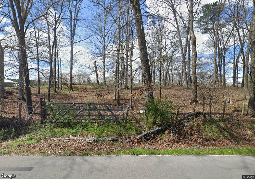
275 Jones Rd La Fayette, GA 30728
Noble NeighborhoodEstimated Value: $214,000 - $421,731
--
Bed
1
Bath
840
Sq Ft
$361/Sq Ft
Est. Value
About This Home
This home is located at 275 Jones Rd, La Fayette, GA 30728 and is currently estimated at $303,433, approximately $361 per square foot. 275 Jones Rd is a home located in Walker County with nearby schools including Rock Spring Elementary School, Lafayette High School, and Alice M Daley Adventist School.
Ownership History
Date
Name
Owned For
Owner Type
Purchase Details
Closed on
Mar 4, 2025
Sold by
Thacker Robert A
Bought by
Mcbryar Douglas E and Mcbryar Rebecca S
Current Estimated Value
Purchase Details
Closed on
Oct 29, 2024
Sold by
Thacker Dianne C
Bought by
Norton Kimberly D and Thacker Dianne C
Purchase Details
Closed on
May 31, 2023
Sold by
Thacker Robert A
Bought by
Mcbryar Rebecca S and Mcbryar Douglas E
Purchase Details
Closed on
Jan 12, 2009
Sold by
Thacker Dianne C
Bought by
Thacker Robert A
Purchase Details
Closed on
Aug 23, 1996
Sold by
Thacker Robert
Bought by
Thacker Robert A and Thacker Dianne
Purchase Details
Closed on
Jan 1, 1972
Bought by
Thacker Robert
Create a Home Valuation Report for This Property
The Home Valuation Report is an in-depth analysis detailing your home's value as well as a comparison with similar homes in the area
Home Values in the Area
Average Home Value in this Area
Purchase History
| Date | Buyer | Sale Price | Title Company |
|---|---|---|---|
| Mcbryar Douglas E | $40,964 | -- | |
| Norton Kimberly D | $403,043 | -- | |
| Mcbryar Rebecca S | -- | -- | |
| Thacker Robert A | -- | -- | |
| Thacker Robert A | -- | -- | |
| Thacker Robert | -- | -- |
Source: Public Records
Tax History Compared to Growth
Tax History
| Year | Tax Paid | Tax Assessment Tax Assessment Total Assessment is a certain percentage of the fair market value that is determined by local assessors to be the total taxable value of land and additions on the property. | Land | Improvement |
|---|---|---|---|---|
| 2024 | $1,612 | $161,217 | $58,857 | $102,360 |
| 2023 | $1,924 | $227,414 | $122,448 | $104,966 |
| 2022 | $1,679 | $212,128 | $121,607 | $90,521 |
| 2021 | $1,141 | $180,741 | $121,607 | $59,134 |
| 2020 | $943 | $165,108 | $117,122 | $47,986 |
| 2019 | $1,044 | $173,868 | $117,122 | $56,746 |
| 2018 | $4,601 | $173,868 | $117,122 | $56,746 |
| 2017 | $1,613 | $173,868 | $117,122 | $56,746 |
| 2016 | $658 | $173,868 | $117,122 | $56,746 |
| 2015 | $620 | $116,254 | $71,820 | $44,434 |
| 2014 | $457 | $116,254 | $71,820 | $44,434 |
| 2013 | -- | $118,544 | $71,819 | $46,724 |
Source: Public Records
Map
Nearby Homes
- 10180 Us Highway 27
- 15 Willow Cir
- 23 Willow Cir
- 16 Willow Cir
- 11 Willow Cir
- The Pearson Plan at Laurel Ridge
- The Benson II Plan at Laurel Ridge
- The Langford Plan at Laurel Ridge
- The Lawson Plan at Laurel Ridge
- The Piedmont Plan at Laurel Ridge
- The Coleman Plan at Laurel Ridge
- The McGinnis Plan at Laurel Ridge
- The Caldwell Plan at Laurel Ridge
- 5602 Georgia 95
- 00 Georgia 95
- 1003 Highway N Old 27
- 1370 Old Highway 27
- 0 Veeler Rd Unit 1522679