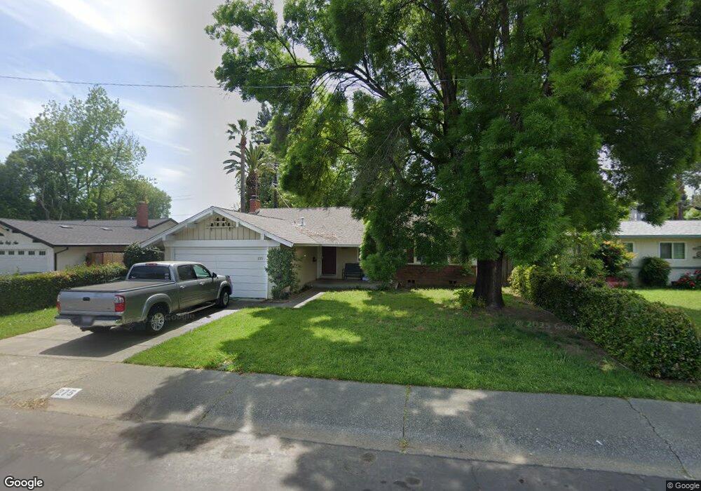
275 Neil St Vacaville, CA 95688
Estimated Value: $502,000 - $562,000
3
Beds
2
Baths
1,162
Sq Ft
$450/Sq Ft
Est. Value
About This Home
This home is located at 275 Neil St, Vacaville, CA 95688 and is currently estimated at $523,288, approximately $450 per square foot. 275 Neil St is a home located in Solano County with nearby schools including Alamo Elementary School, Orchard Elementary School, and Willis Jepson Middle School.
Ownership History
Date
Name
Owned For
Owner Type
Purchase Details
Closed on
Jun 12, 2008
Sold by
Madson Lillian
Bought by
Oliver Steven E and Oliver Kathy I
Current Estimated Value
Home Financials for this Owner
Home Financials are based on the most recent Mortgage that was taken out on this home.
Original Mortgage
$220,000
Outstanding Balance
$141,173
Interest Rate
6.05%
Mortgage Type
Purchase Money Mortgage
Estimated Equity
$382,115
Purchase Details
Closed on
Jan 16, 2002
Sold by
Madson Robert M and Madson Lillian
Bought by
Madson Robert M and Madson Lillian
Create a Home Valuation Report for This Property
The Home Valuation Report is an in-depth analysis detailing your home's value as well as a comparison with similar homes in the area
Home Values in the Area
Average Home Value in this Area
Purchase History
| Date | Buyer | Sale Price | Title Company |
|---|---|---|---|
| Oliver Steven E | $275,000 | Fidelity National Title Co | |
| Madson Lillian | -- | Fidelity National Title Co | |
| Madson Robert M | -- | -- |
Source: Public Records
Mortgage History
| Date | Status | Borrower | Loan Amount |
|---|---|---|---|
| Open | Oliver Steven E | $220,000 |
Source: Public Records
Tax History Compared to Growth
Tax History
| Year | Tax Paid | Tax Assessment Tax Assessment Total Assessment is a certain percentage of the fair market value that is determined by local assessors to be the total taxable value of land and additions on the property. | Land | Improvement |
|---|---|---|---|---|
| 2025 | $4,156 | $361,206 | $105,075 | $256,131 |
| 2024 | $4,156 | $354,124 | $103,015 | $251,109 |
| 2023 | $4,059 | $347,182 | $100,996 | $246,186 |
| 2022 | $3,953 | $340,375 | $99,016 | $241,359 |
| 2021 | $3,961 | $333,702 | $97,075 | $236,627 |
| 2020 | $3,908 | $330,281 | $96,080 | $234,201 |
| 2019 | $3,841 | $323,806 | $94,197 | $229,609 |
| 2018 | $3,798 | $317,457 | $92,350 | $225,107 |
| 2017 | $3,672 | $311,234 | $90,540 | $220,694 |
| 2016 | $3,532 | $295,000 | $76,000 | $219,000 |
| 2015 | $3,119 | $260,000 | $70,000 | $190,000 |
| 2014 | $2,786 | $243,000 | $66,000 | $177,000 |
Source: Public Records
Map
Nearby Homes
- 253 W Kendal St
- 365 Acacia St
- 373 Lovers Ln
- 101 Main St
- 332 Cottonwood St
- 0 Cernon St Unit 325065048
- 124 Main St
- 149 Mason St
- 0 Parker St Unit 324045416
- 255 Arbor St
- 491 Buck Ave
- 317 Grape St
- 0 Merchant St Unit 325089259
- 680 S Orchard Ave
- 507 Buckeye St
- 191 Ironwood St
- 355 Baler Cir
- 571 Nottingham Dr
- 319 N West St
- 572 Eldridge Ave